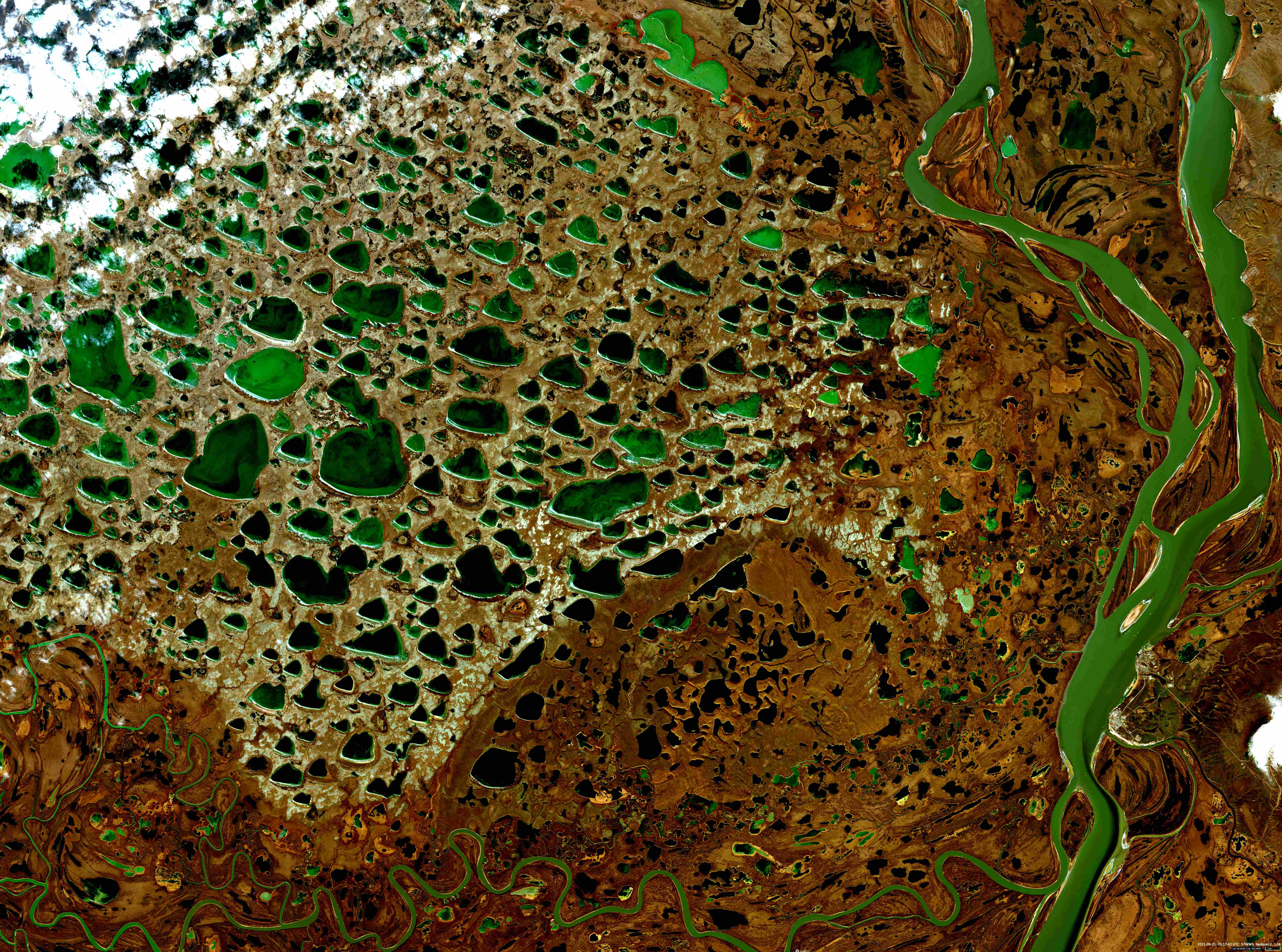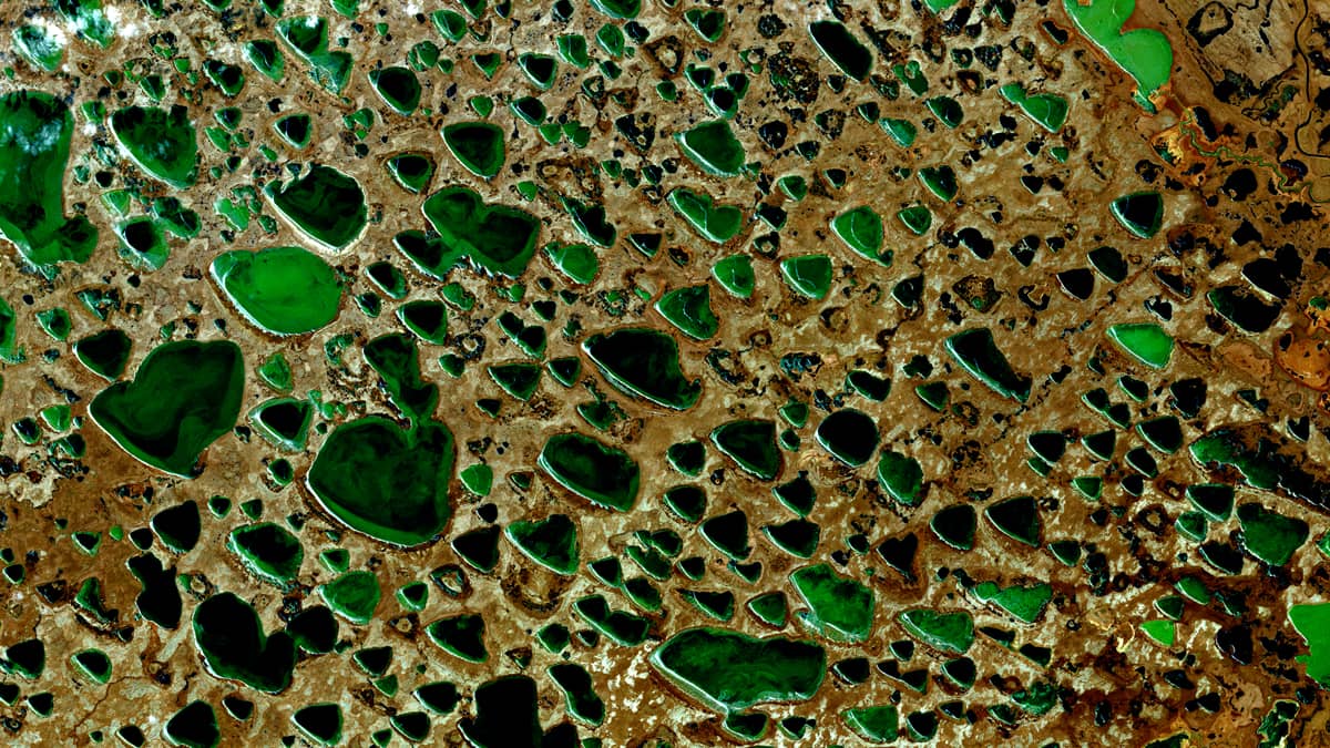
Thermokarst lakes
Kolyma River | Northeast Sibiria | Russia
Date of acquisition: September 21st, 2021 | 01:17:42 UTC
Sensor: Sentinel-2A MSI
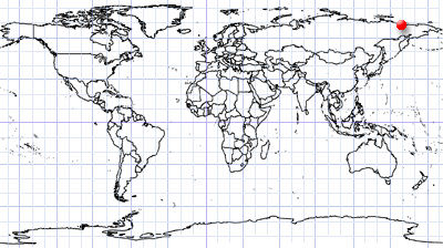
Coordinates: 69.1°N, 159.5°E
Thermokarst is the result of uneven subsidence of soils and underlying rocks due to thawing of underground ice. As a result, craters and dips are formed, which outwardly resemble karst landforms. They are filled with melted fresh water. Early and middle Holocene thermokarst lakes are sources of greenhouse gases as secular carbon deposits released in the form of CO2 and CH4.
Thermokarst depressions and lakes dominate large areas of the Arctic land. One of these characteristic regions is located in the northern part of the basin of the Kolyma River in Northeast Siberia, which is completely covered with permafrost. This region, northwest of the Chersky village, on the left bank of the Kolyma River estuary, is shown with its characteristic and colourful lakes in the image from Sentinel-2.