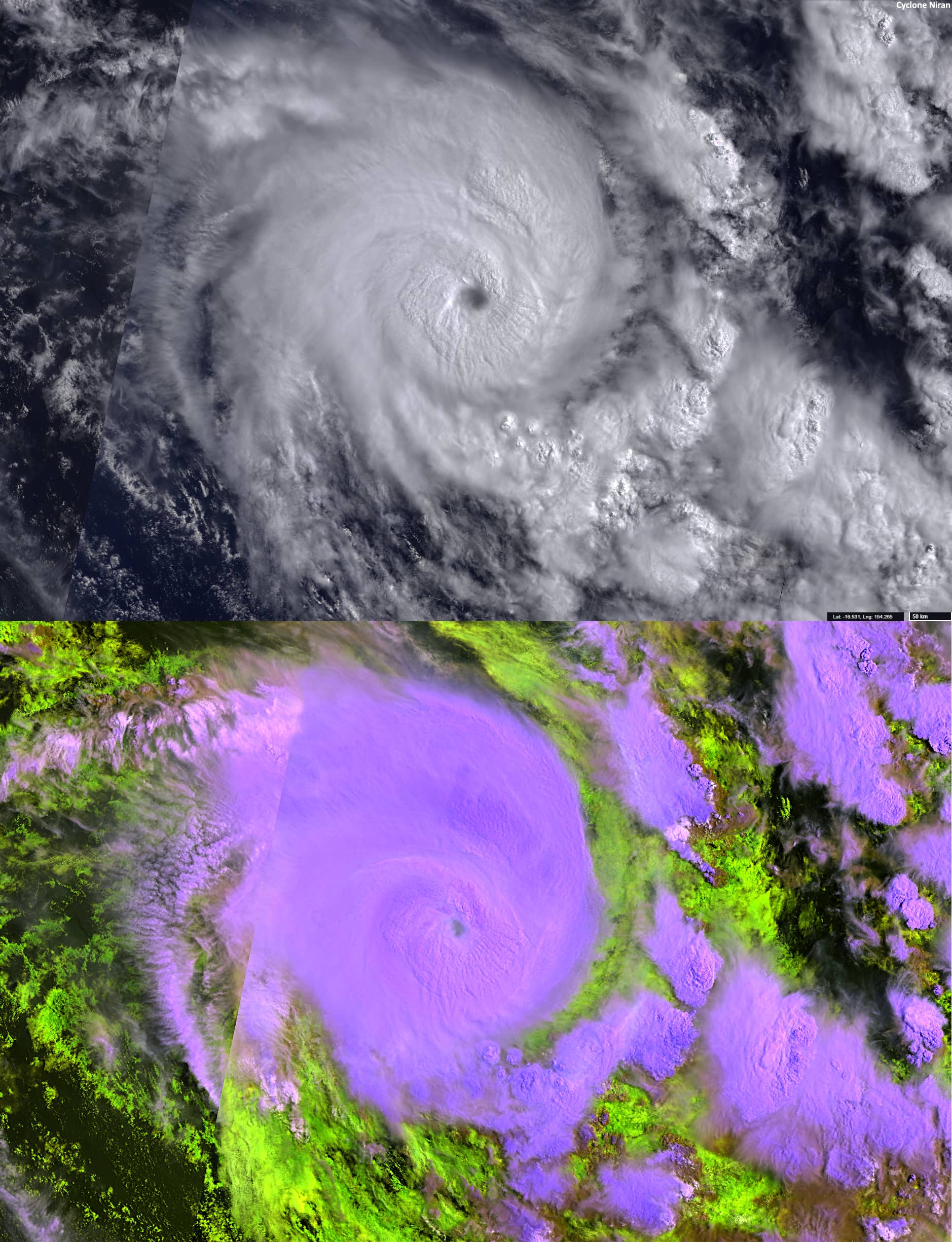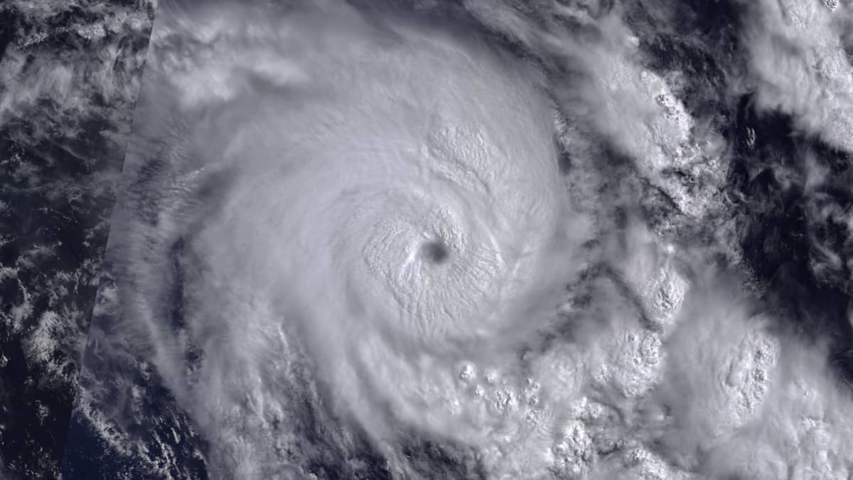
Cyclone Niran
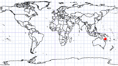
North-eastern Australia and New Caledonia
Date of acquisition: March 4th, 2021 | 23:19:36 UTC
Sensor: Sentinel-3 OLCI and SLSTR
Coordinates: 16.5°S, 154.3°E
In February and March 2021, a strong tropical cyclone called Niran hit far north-eastern Australia and New Caledonia. Niran was the second major Category 5 tropical storm in the South Pacific cyclone season. Gale-force wind gusts reached 260 km/h and pressure dropped to 917 mb. On March 4th, 2021 the cyclone had a diameter of about 400 km and an eye diameter of ca. 20 km. The cyclone significantly impacted banana crops in far northern Queensland and devastated the coast of New Caledonia.
The presented satellite image shows the cyclone position as of March 4th. In the lower false colours SLSTR-image (RGB: S6-S5-S4 [reflectance’s]), the heights of different cloud layers and areas of the cyclone can be qualitatively well distinguished.