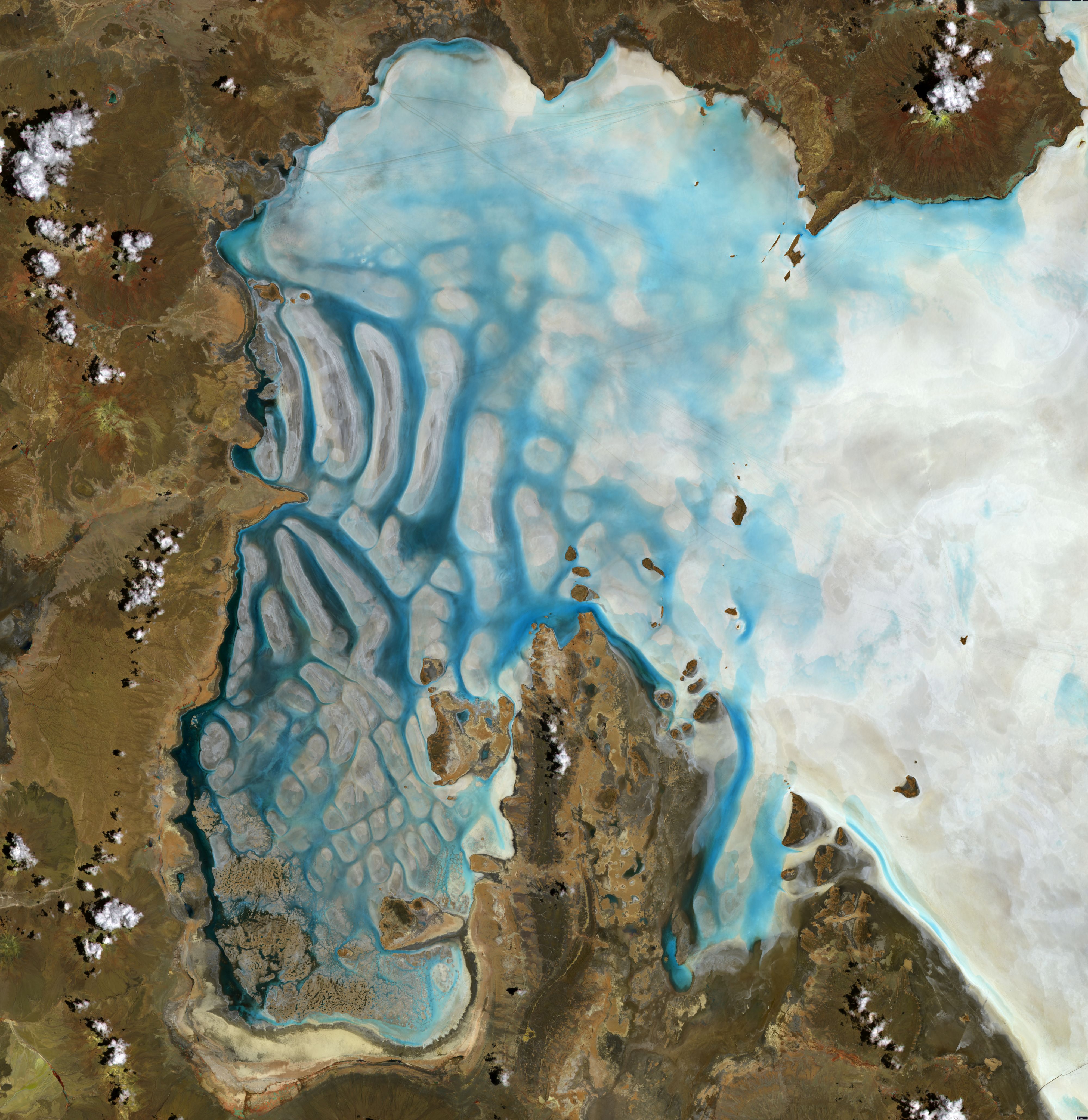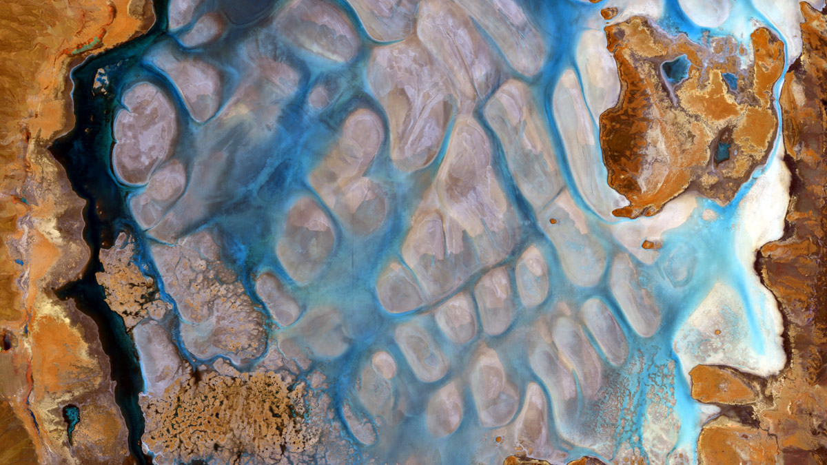
Salar de Uyuni
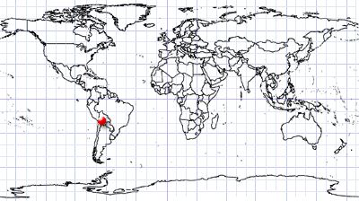
Bolivia
Date of acquisition: January, 3rd, 2021 | 14:48:29 UTC
Sensor: Sentinel-2 L2A
Coordinates: ca. 20.4°S, 68.1°W
The image shows the western part of the Salar de Uyuni located in Bolivia. The inactive volcano Cerro Tunupa (5,321 m) is located in the upper right part of the image.
The rainy period in this area typically begins in December, so the image acquired in January shows natural cyclically water-filled gullies (blue), showing in some places the wavy structure of the salt horizon (towards the North), and in others a quadrangular cellular structure (towards the South). About 40,000 years ago the area was covered with a very large lake. In a humid climate with a lot of rain, the lake level was around 100 m higher than it is today. However, the dry period led to a significant reduction in surface area and volume, and as a result the appearance of salt marshes. Salar de Uyuni is especially suitable for calibrating the sensors of satellites because of stable surfaces with strong reflection.