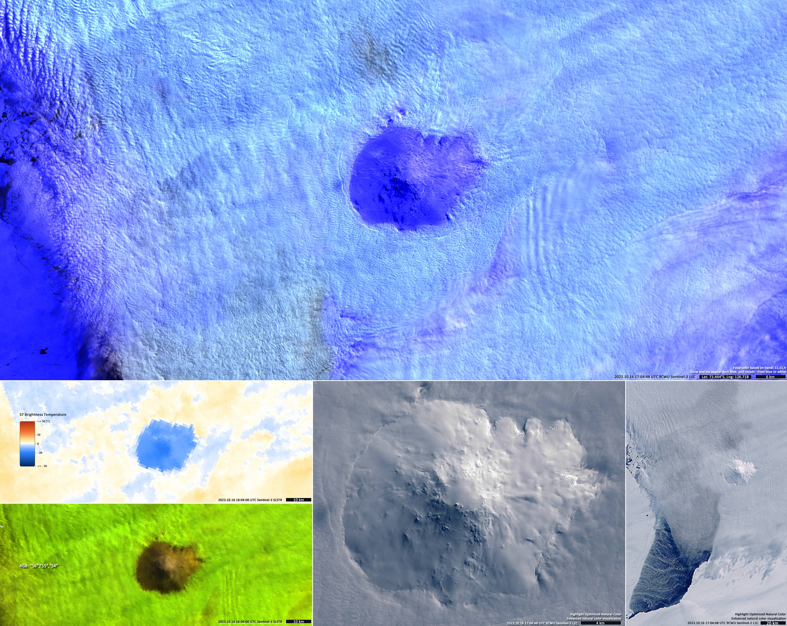
Mount Siple volcano breaks through the clouds
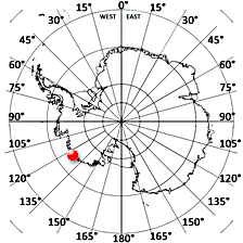
Siple Island | Antarctica
Dates of acquisition: October 16th, 2023 | 17:04:48 UTC, 16:04:00 UTC
Sensor: Sentinel-2B L1C, Sentinel-3A SLSTR
Coordinates: ca. 73.85°S, 125.83°W
To be reviewed:
The dormant shield volcano Mount Siple, 3110 m high, is located on the island Siple, a 110 km long snow-covered island lying east of Wrigley Gulf along the Getz Ice Shelf off Bakutis Coast of Marie Byrd Land, Antarctica. Its centre is located at 73.85°S, 125.83°W.
The island is the 15th ranking island in the world by maximum elevation.
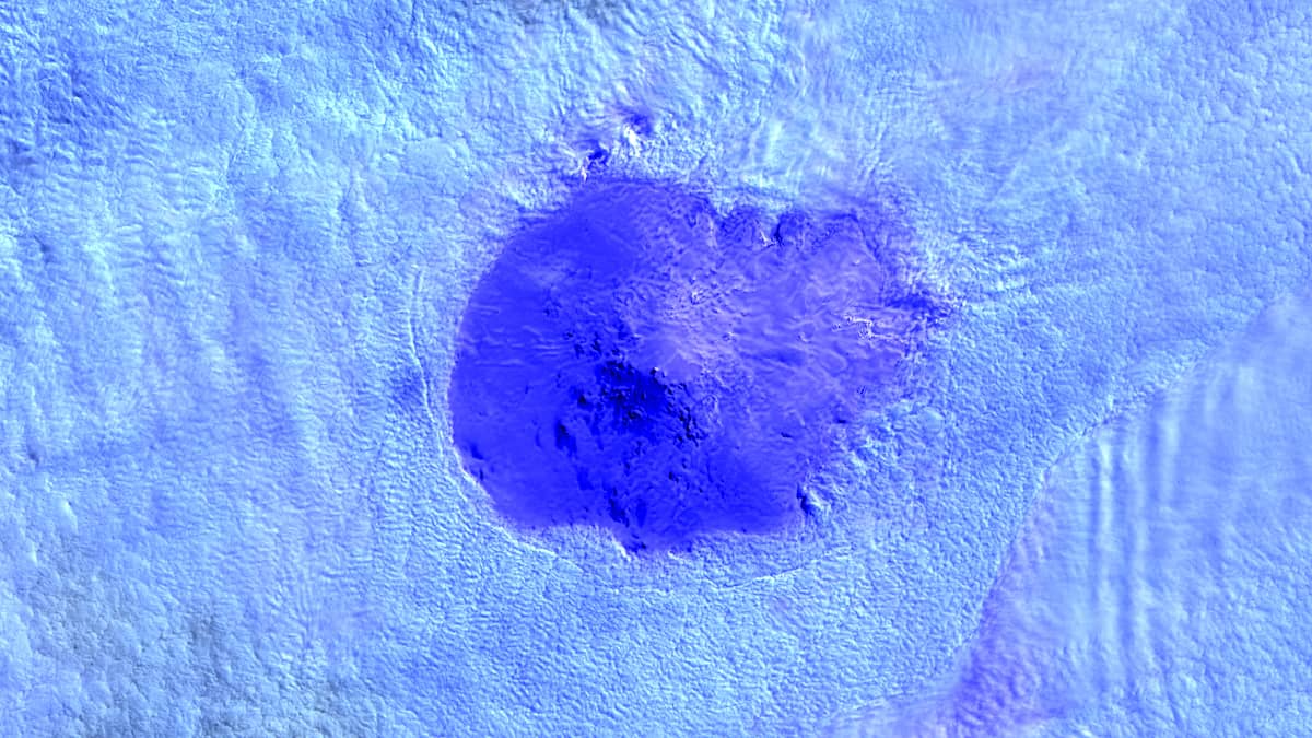
In the satellite image, the island is shrouded in clouds, through which the peak of a snow-capped volcano breaks through. The image looks impressive in the false color palette based on Sentinel-2 bands: RGB(B12,B11,B04). Snow and ice appear purple and dark blue here, clouds appear from blue to white (Figure 1, top).
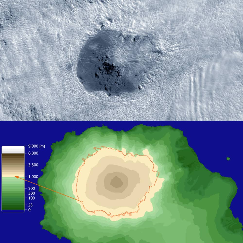
Using topographic visualization from “DEM COPERNICUS 90” data, cloud top height can be estimated quite well. It is equal to 1000-1200 meters (Figure 2).
Additionally, the two different scaled images are shown in “true colour combination,” which is a representation of the Earth as people naturally see it (Figure 1, bottom right). Two other SLSTR images (from Sentinel-3), in a false colour palette based on near-infrared SWIR bands, and an image of S7-brightness temperature show that the volcano’s summit is cooler than the surrounding clouds (Figure 1, bottom left).