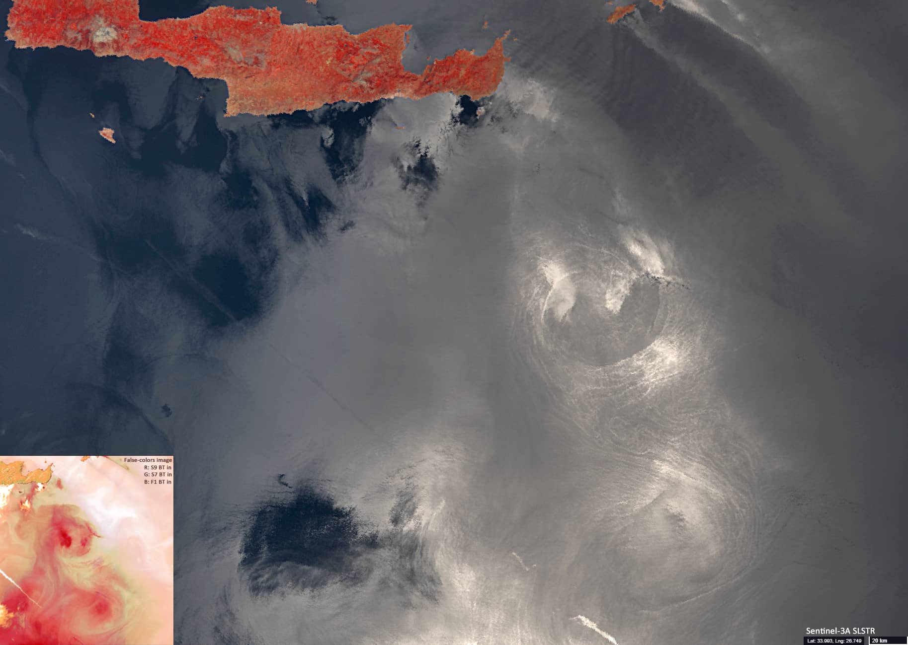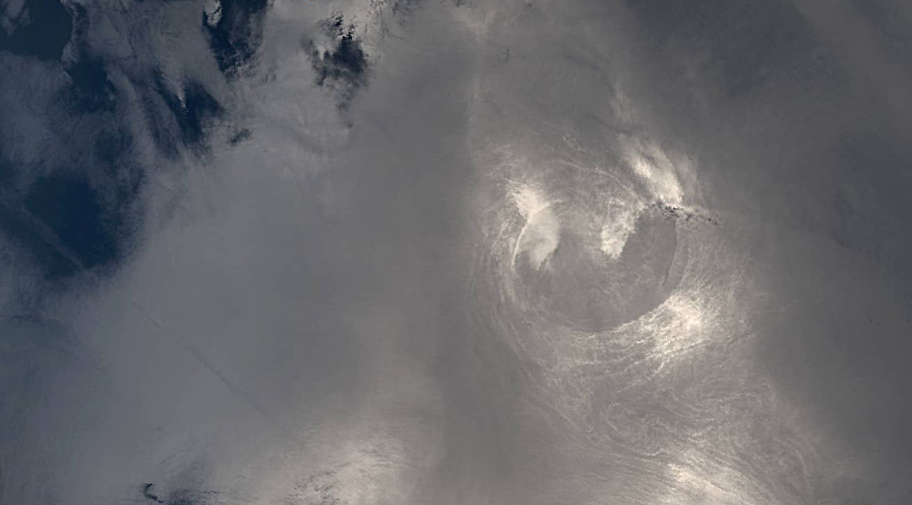
Ierapetra Gyre
South-eastern Mediterranean Sea
Date of acquisition: May 12th, 2021 | 08:46:28 UTC
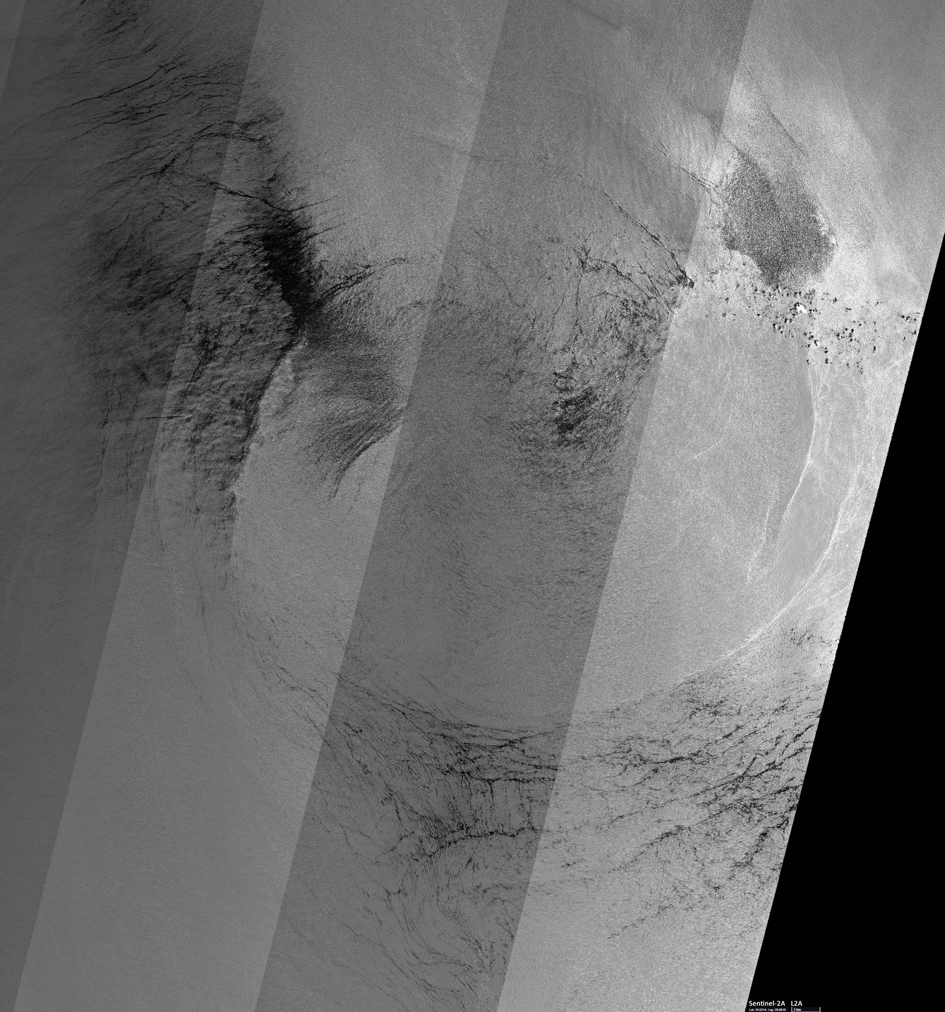
Sensors: Sentinel-3A SLSTR, Sentinel-2A L2A
Coordinates: ca. 34°N, 27°E
The image shows a region in the south-eastern Mediterranean Sea. About 180 km to the south-southeast of Crete island, two interconnected eddies swirling in the anticyclonic direction can be observed. This is known as the “Ierapetra gyre” and is a semi-permanent feature in that region (Ioannou et al. 2017). The diameter of each of the eddies is 60 – 70 km. They are only visible in this image because of sun glint; i.e., direct sun light reflection. Under certain angle constellation, sun light is reflected directly to the satellite sensor and thus, spatial patterns at the water surface induced by wind, currents and/or air pressure can become visible.
A small false colour image (bottom-left corner) derived from thermal wavelength bands also shows these eddies with relatively warmer water in the centre of the eddies compared to the surrounding water masses.
Reference: Ioannou A., Stegner A., Le Vu B., Taupier-Letage I. and Speich S. (2017). Dynamical evolution of intense Ierapetra eddies on a 22 year long period. Journal of Geophysical Research: Oceans, 122, 9276–9298. https://doi.org/10.1002/2017JC013158