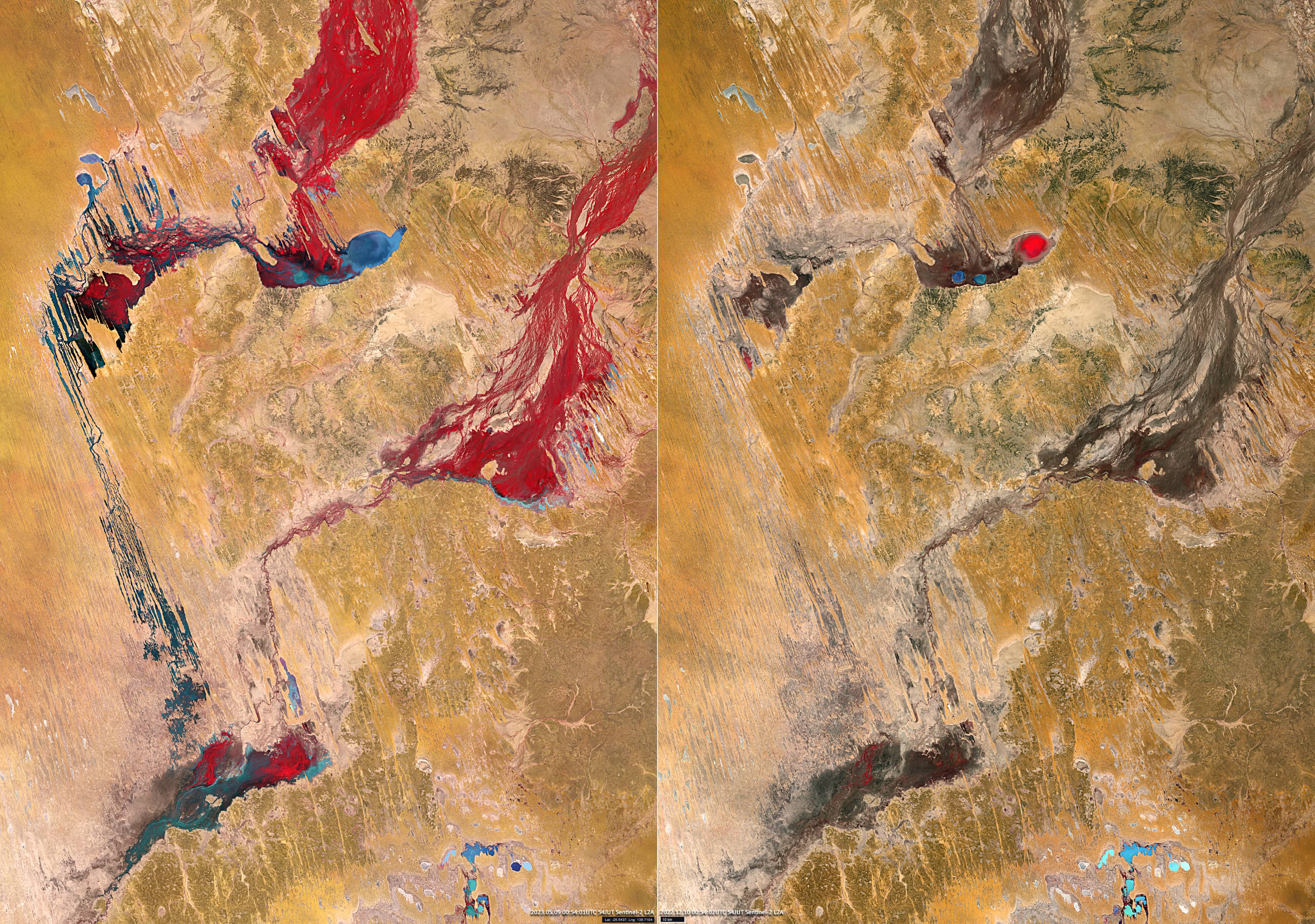
Flooded Eyre Creek
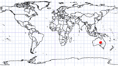
Queensland | Australia
Date of acquisition: May 9th, 2023 | 01:04:02 UTC; December 10th, 2022 | 00:54:04 UTC
Sensor: Sentinel-2A,B L2A
Coordinates: 25.5°S, 139.7°W
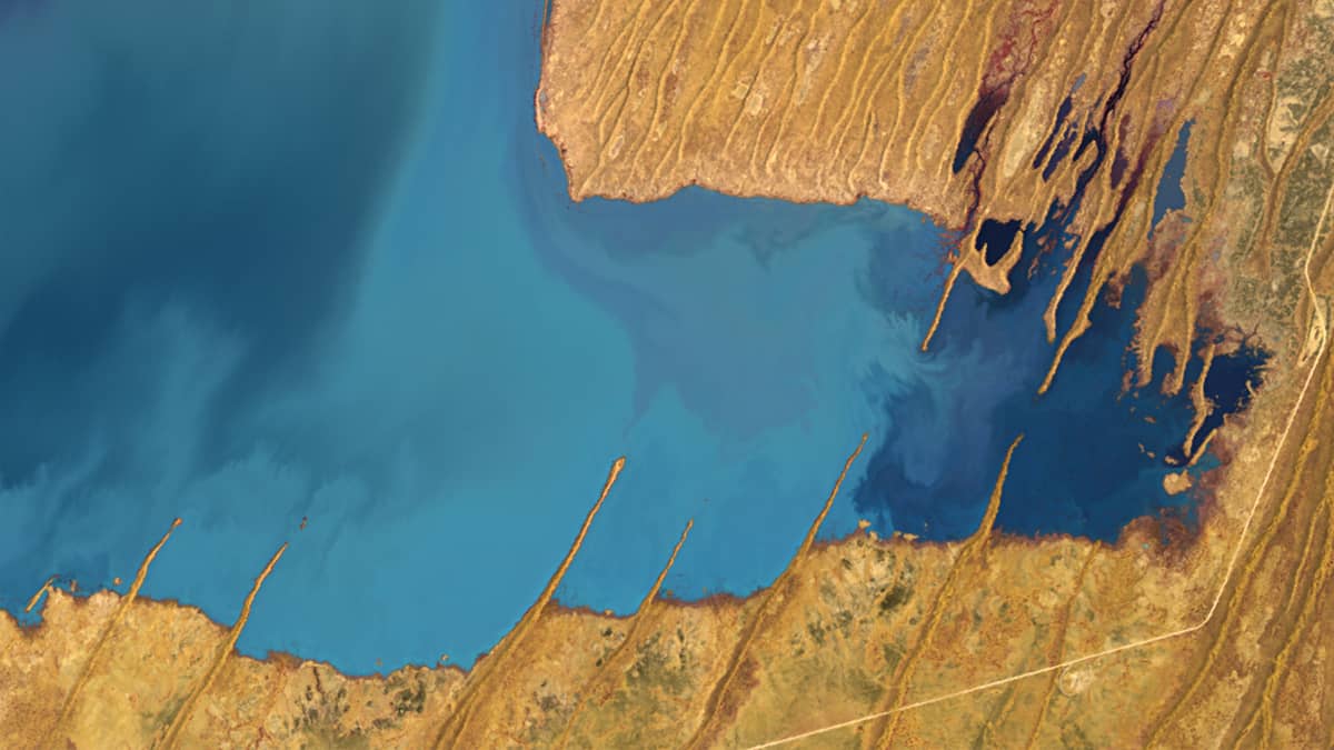
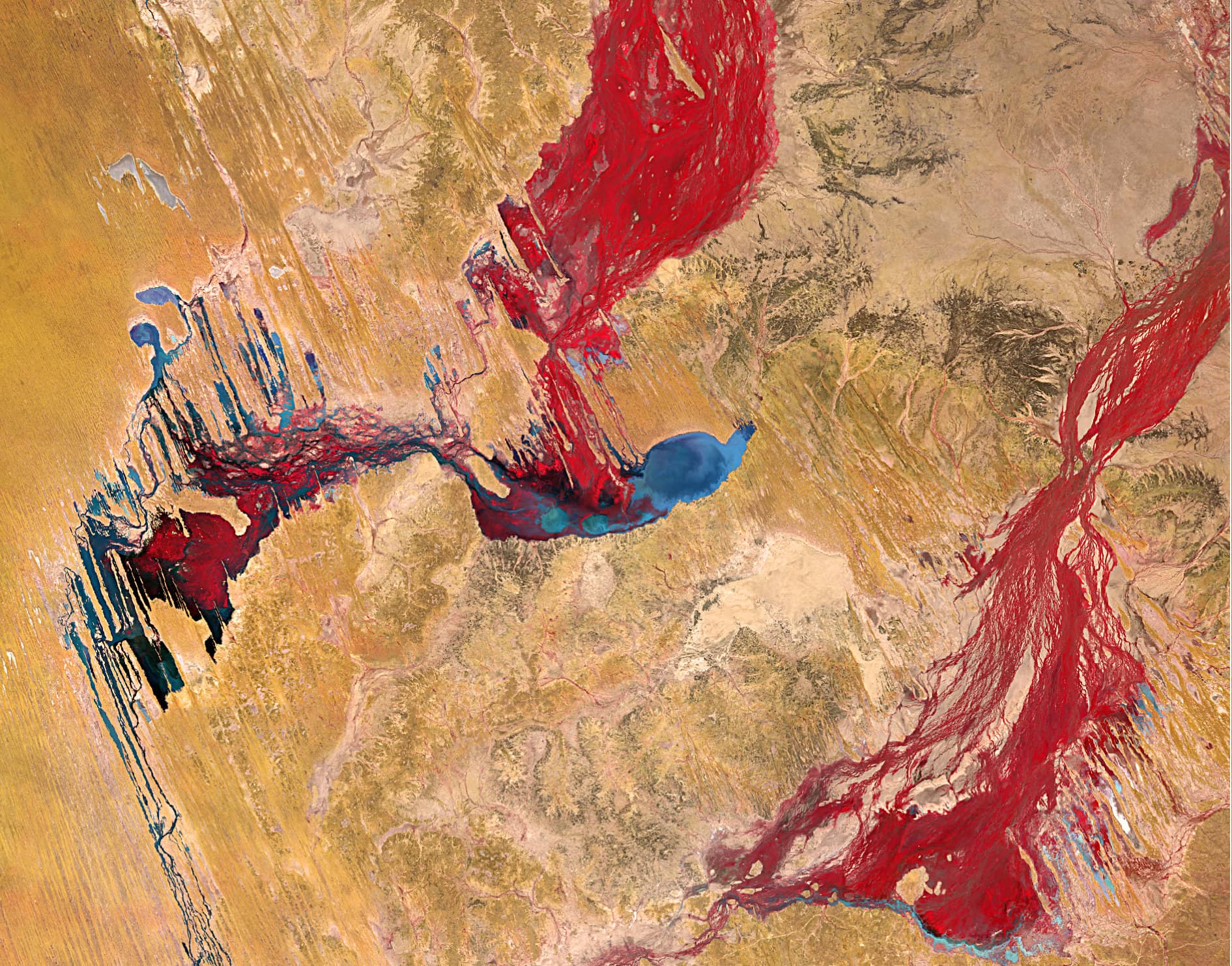
Main parts of the Eyre Creek riverbed are located in western Queensland. The Eyre Creek flows from east to west through Lake Machattie (909 km2), Lake Koolivoo and further southeast through the lowlands. Here, it passes parallel high and narrow sand dunes and meets with the Diamantina River, which forms the Warburton River at the northeast corner of South Australia, which then flows into Lake Eyre.
Due to the climatic conditions, Eyre Creek is dry for most of the year. However, seasonal heavy rainfall repeatedly causes flooding and transforms the parched landscape. Lake Machattie, for example, floods about once every three years. About every eight years, the water even reaches Lake Eyre.
The Sentinel-2 images show the difference between the condition of the river bed and surrounding during the dry season (early December 2022, right) and after flooding (May 2023, left). Both images are shown in pseudo colours. The false colour composite (based on R=8, G=4, B=3 bands) uses the near infrared, red and green bands that are most commonly used to estimate vegetation density because plants reflect near infrared and to a smaller extent green light while they have maximal absorption in red right. Yellow and brown colours indicate desert and barren land. Water is represented by different shades of blue, cyan, and green.