
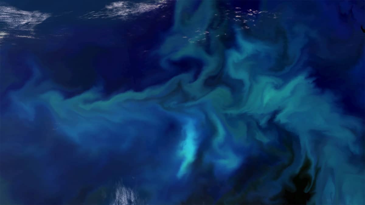
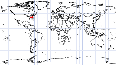
Phytoplankton blooms in the Gulf of Maine
East Coast of North America | Atlantic Ocean
Dates of acquisition:
• July 09th, 2026 | 15:26:21 UTC
• July 24th, 2026 | 15:26:29 UTC
Sensors: Sentinel-2B, C L2A
Coordinates: ca. 41°N, 67°W | MGRS: 19TFF 68 40
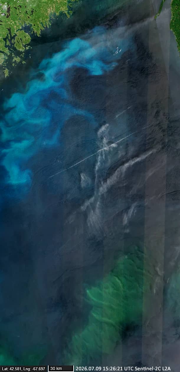
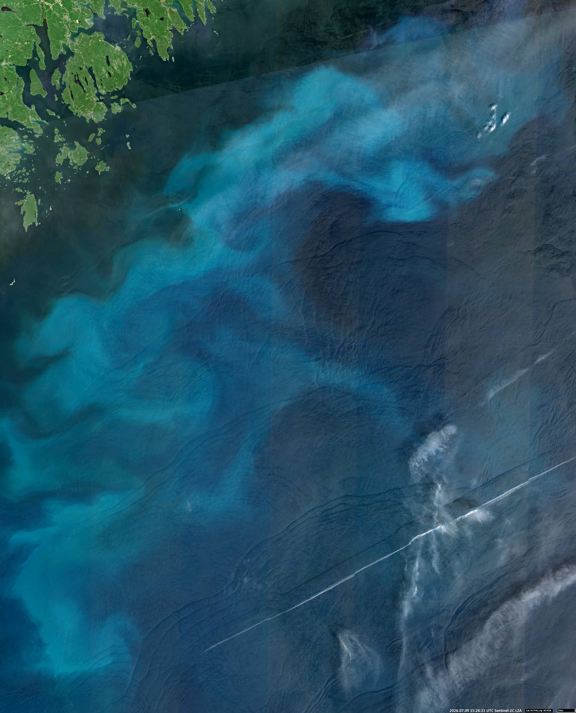
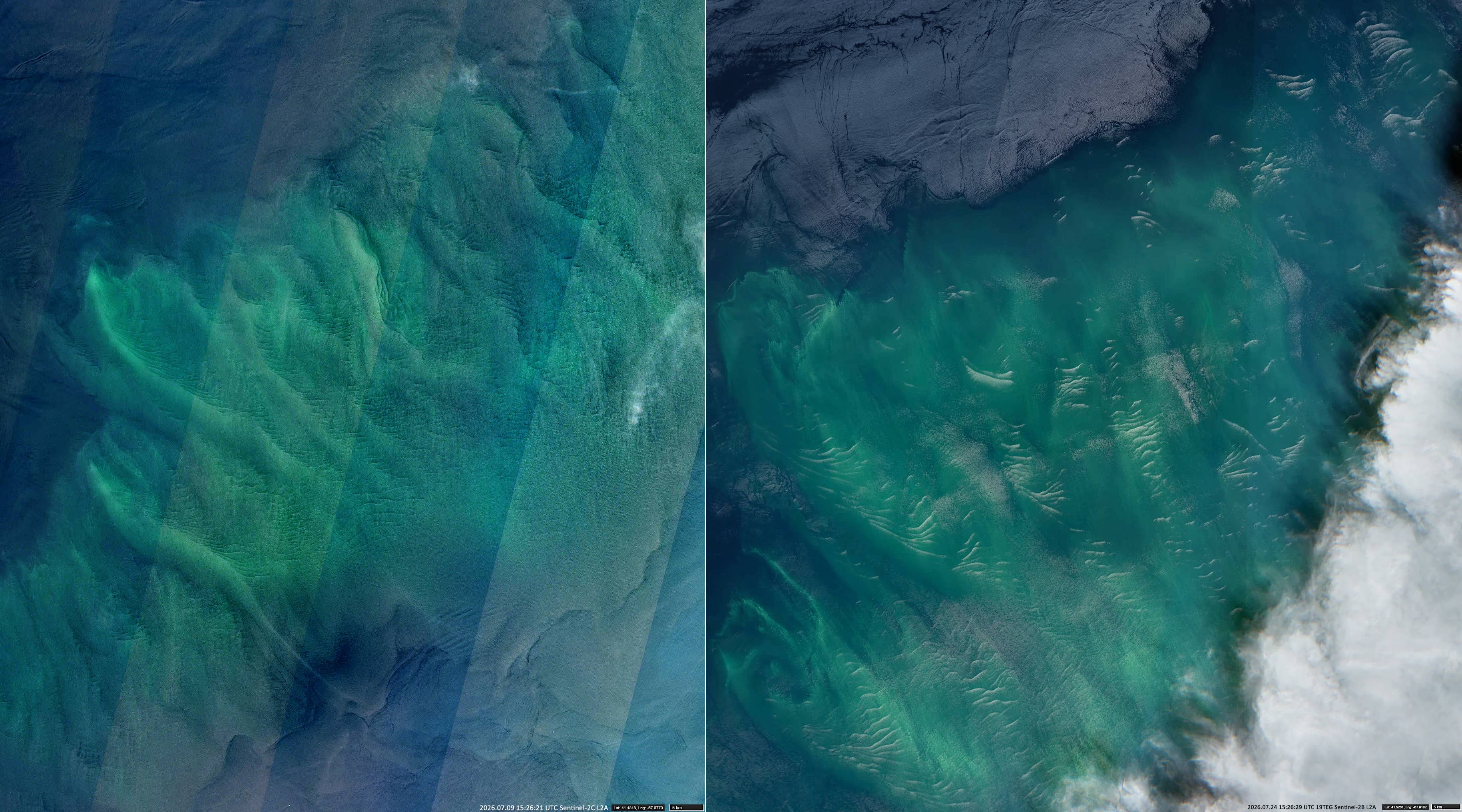
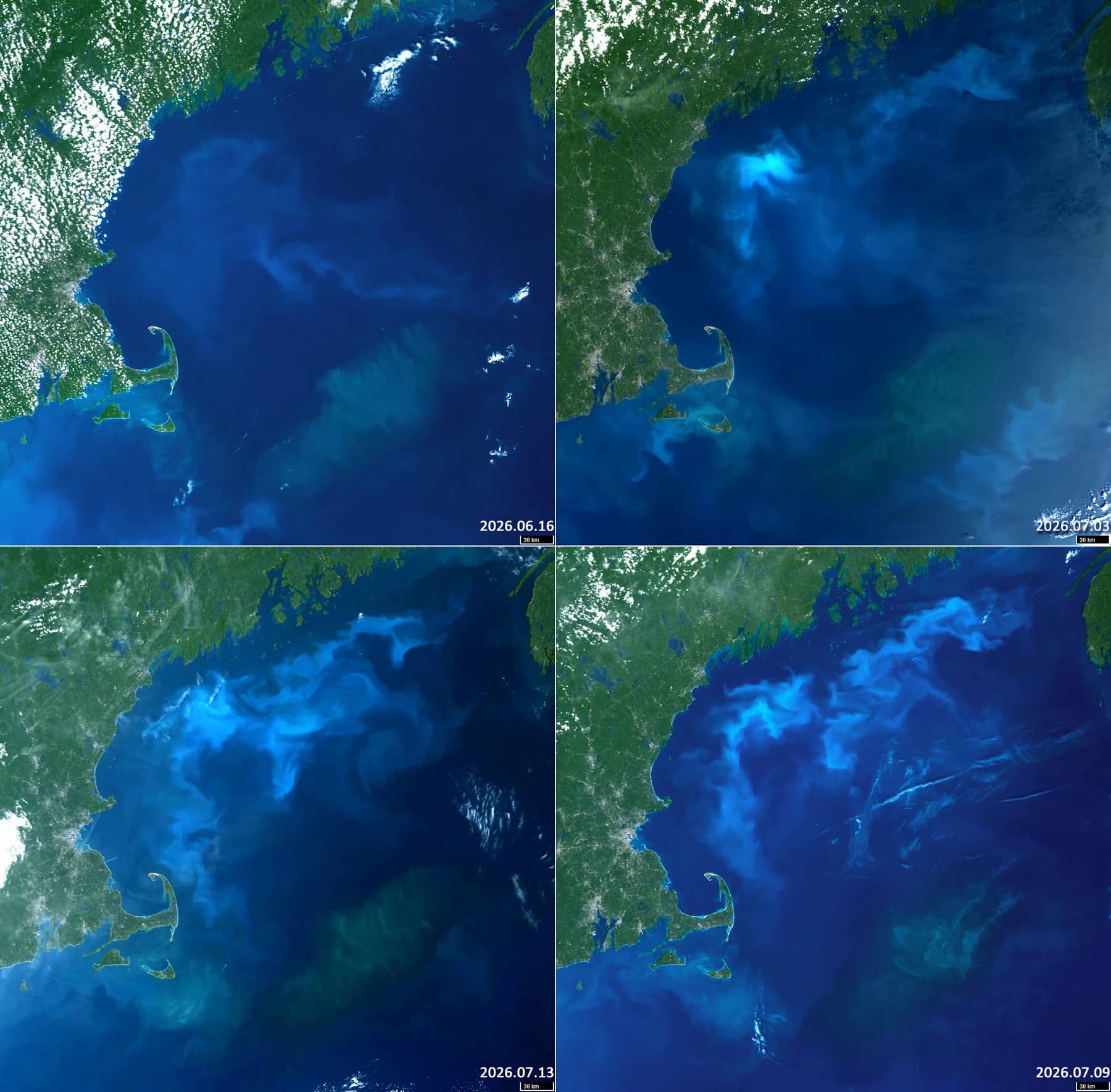
An intense phytoplankton bloom occurred in the Gulf of Maine in June and July. Images from Sentinel-2 and Sentinel-3 (Figures 1–4) reveal two large bloom areas.
The first of these is located around 75 nautic miles east of Cape Cod at approximately 41°N, 67°W, covers an area of around 10,000 km². This bloom has remained virtually stationary since forming in mid-May.
The second bloom area developed further north, stretching from Cape Cod Bay along the coast of the US state of Maine to the mouth of the Bay of Fundy. Forming in early June at around 42°N, 68°W, it subsequently moved anticlockwise along the coastline, expanding to cover an area of over 30,000 km² (see Figure 4).
The southern bloom zone, which appears greenish in the satellite images (Figure 3), is likely to be dominated by diatoms, dinoflagellates, and other phytoplankton groups. The northern bloom zone is thought to be dominated by coccolithophores, which give the sea its characteristic chalky light-blue hues of varying intensity (Figure 2).
Of particular interest are the wave packets that stand out clearly against the green background of the southern bloom (see Figure 3). The image shows relatively large, low-frequency wave trains that propagate parallel to one another from south-west to north-east direction. Superimposed on these are higher-frequency waves, which propagate perpendicular to them in a north-northwest to south-southeast direction and are occasionally accompanied by whitecaps. These shorter waves are most clearly visible along the troughs and crests of the longer wave system.