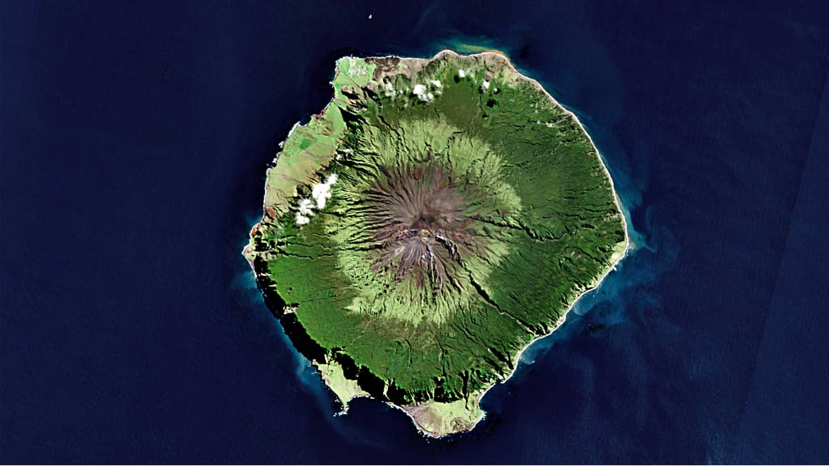
Tristan da Cunha
Tristan da Cunha Archipelago | South Atlantic
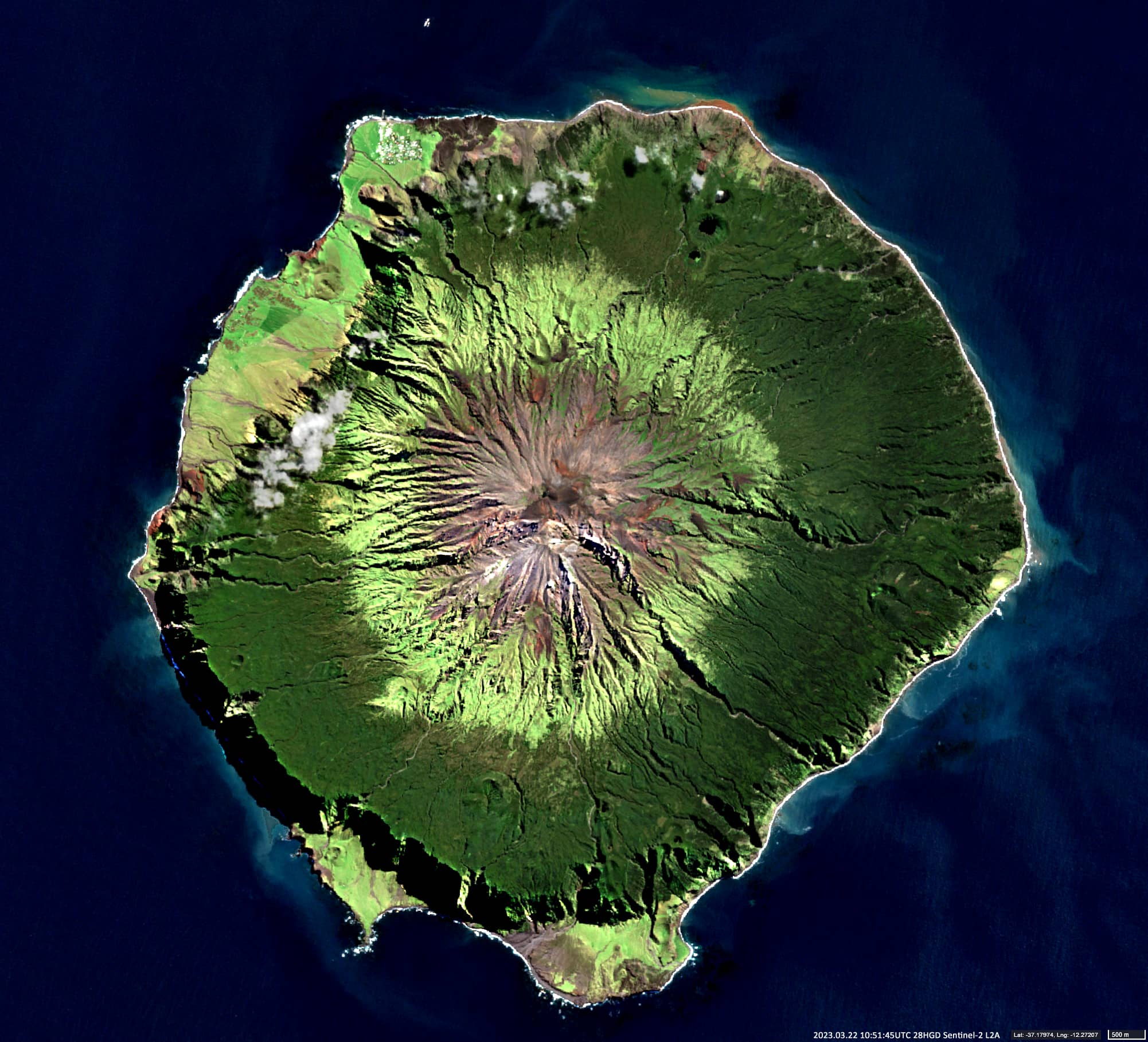
Date of acquisition: March 22nd, 2023 | 10:51:45 UTC
Sensor: Sentinel-2B L2A
Coordinates: 37.11°S, 12.29°W
Tristan da Cunha is a small archipelago in the South Atlantic consisting of 6 islands and which is part of the British Overseas Territory. The main island of the archipelago is also called Tristan da Cunha. It is the only island in the archipelago with a permanent population, which is 250 people according to the 2018 census. Most of the residents are descendants of 8 men and 7 women who moved to the island between 1816 and 1908. The only settlement of Tristan da Cunha is Edinburgh of the Seven Seas. It was named in honour of Prince Alfred, Duke of Edinburgh, who visited the island in 1867.
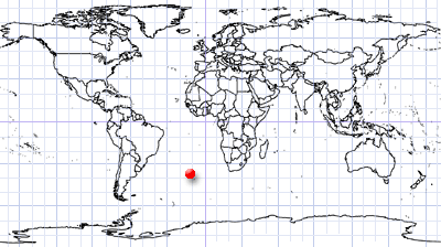
This archipelago is one of the furthest inhabited places on earth from the continents. The northern islands of the Tristan da Cunha archipelago are said to have been discovered by the Portuguese Tristan da Cunha in 1506 and named after him. Some of the islands in the archipelago were discovered by the British in 1731. The first landing on the islands was by the French in 1767. The first settler on the island was an American in 1810. In 1816, Britain annexed the islands.
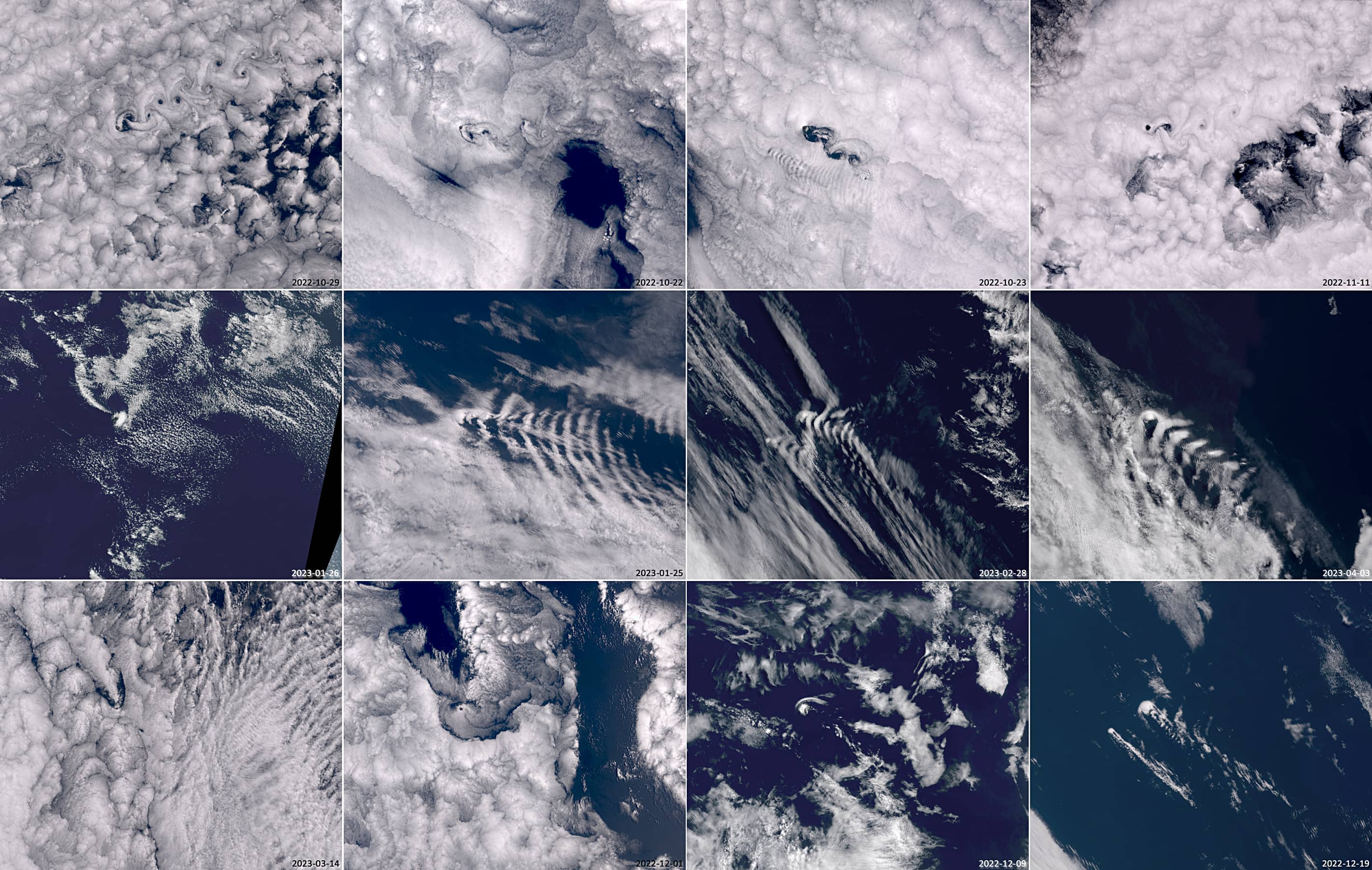
Tristan da Cunha is a volcanic island of the shield volcano type, an active volcano that has erupted several times since the island was discovered. The eruption of 1961 did not take place in the summit crater, but on a coastal plateau near the northern coast of the island. This event forced the entire population (264 people at the time) to be evacuated back to Britain. They returned in 1963. The highest point on the island and the entire archipelago is Queen Mary’s Peak (2062m above sea level). In winter, its peak is often covered with snow. In the summit crater is a heart-shaped small shallow lake about 90 by 70 meters in size, filled with meteoric water (this is the term for the water derived from precipitation – snow and rain). See also the crater view in Google Maps and Queen Mary’s Peak on Tristan da Cunha’s homepage.
The mountain was first climbed in early 1817. The islands are not connected to the mainland by regular passenger flights; they can only be reached by fishing and research vessels, a 6-day journey from South Africa. The islands of the archipelago and especially Tristan da Cunha, which is more than 2000m high, are an obstacle to the air currents that pass over them. This affects the shape of the cloud structures that can often be observed around the islands. Basically, there are different types of orographic cloud structures whose specific shape of which depends on the wind strength and the height of the clouds. The additional Sentinel-3 image group shows several examples of such structures.