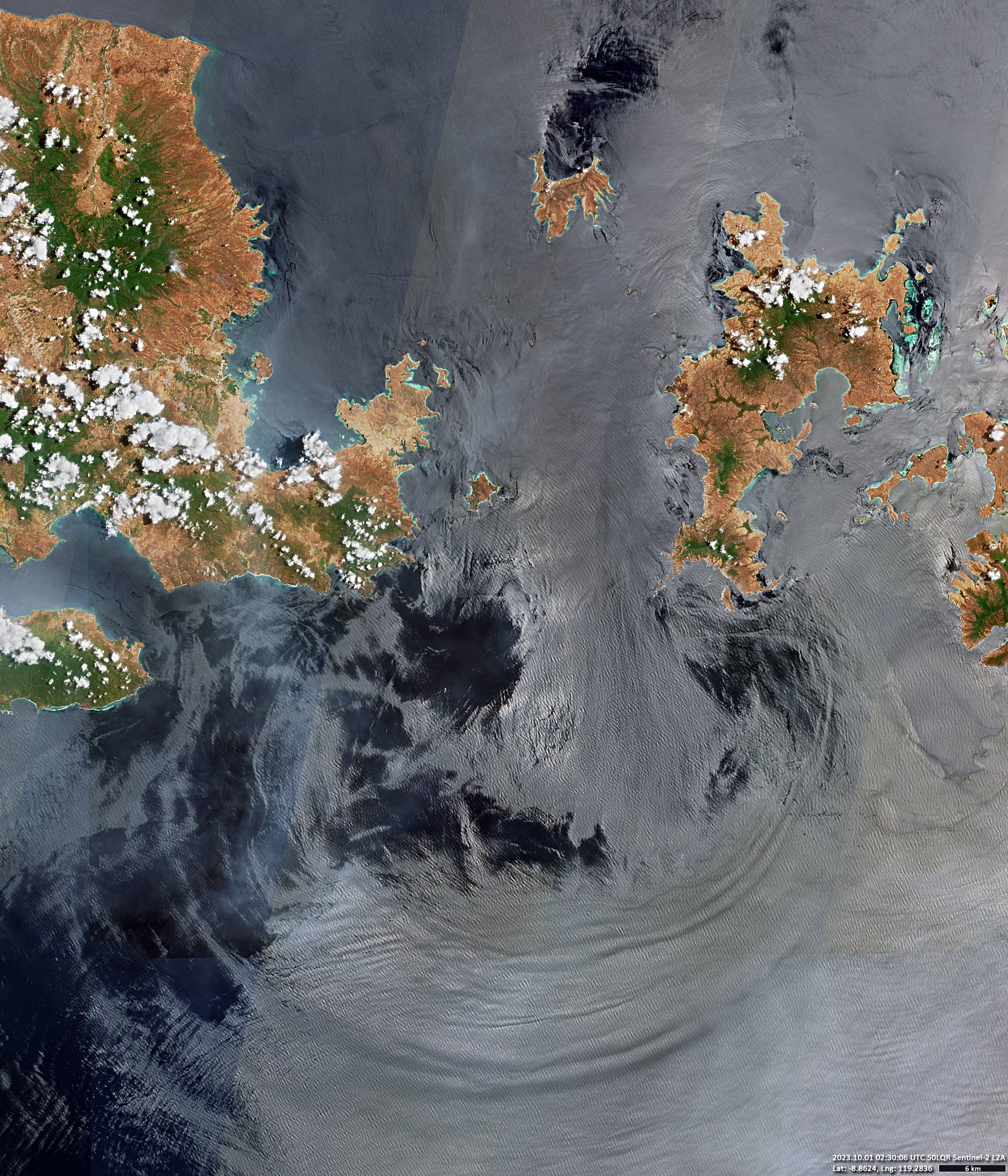
The Sape Strait
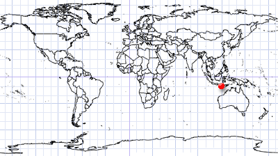
East Indian Archipelago | Indonesia
Date of acquisition: October 1st, 2023 | 02:30:06 UTC
Sensor: Sentinel-2B L2A
Coordinates: ca. 8.9°S, 119.3°E
The Sape Strait (Indonesian: Selat Sape) connects the Flores Sea in the Pacific Ocean with the Sumba Strait in the Indian Ocean. It runs between Sumbawa Island on the west side and Komodo Island on the east side and is the only gap in a very long land barrier. Its length from north to south is about 45 km. The maximum depth of the strait is not more than 200 meters.
The Sape Strait plays an important role in the Indonesian “Through Flow System”, which transports water masses from the Pacific and Indian Oceans in both directions. It is known for rough seas, shallows and strong currents.
The volume of water flowing from the Pacific to the Indian Ocean exceeds the volume of water flowing in the opposite direction. Essentially, the northern Flores Sea is “higher” and the “falling” tide tends to be stronger. In the Sape Strait these fluctuations are especially significant.
In addition, Sape Strait is characterised by very strong tidal currents, with the water usually moving from south to north at high tide and from north to south at low tide. The phases of the Moon play an important role in the intensity of tides.
In addition, there are coastal currents that can be stronger than the tides in some places.
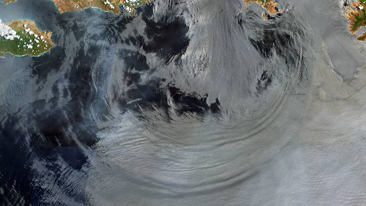
In the image taken by the Sentinel-2 satellite on October 1, the presumed tidal front (there was a full moon on September 29) can be seen very clearly in the form of a “double bubble” emanating from the southern neck of the strait. The length of the outer front is about 130 km.