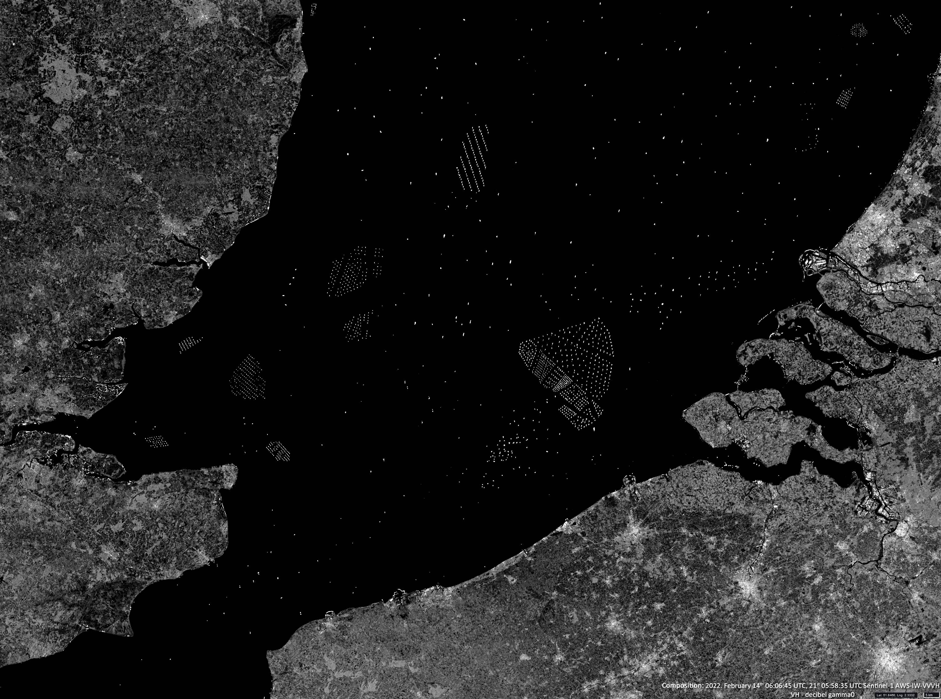
Southern Bight
Crossing to the English Channel | Southwest North Sea
Dates of acquisition: February 14th, 2022 | 06:06:45 UTC, February 21st, 2022 | 05:58:35 UTC
Sensor: Sentinel-1 AWS-IW-VVVH | VH-decibel Gamma0
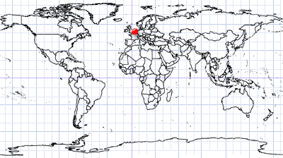
Coordinates: ca. 51.8°N, 2.5°E
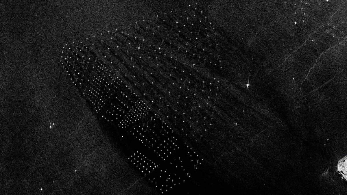
The Sentinel-1 radar images show the southernmost part of the North Sea, the so-called “Southern Bight”. White dots indicate mainly wind turbines, but also offshore oil platforms and moving ships. You can see how dense and crowded this area has become.
The Sentinel-1 satellite emits radio waves in the size range of centimetres and catches reflections with an antenna. The metallic constructions reflect the radiation particularly well. The ships’ active radar signals are also clearly visible because the satellite’s radar receives them. All this is recognisable as very bright dots or small bright areas on the image.