
Low tide in Saint John Harbor
Between New Brunswick and Nova Scotia | Eastern Canada
Dates of acquisition:
• 2026.04.02 | 02:03:09 UTC
• 2025.08.02 | 02:05:01 UTC
• 2025.05.12 | 02:03:31 UTC
Sensor: Sentinel-2B L1C, Sentinel-2A L2A, Sentinel-2C L1C
Coordinates: ca. 18.07°S, 122.27°E | MGRS: 10QEE 77 98
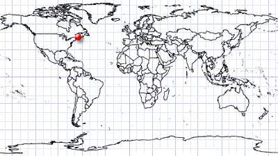
The Bay of Fundy (French: Baie de Fundy) lies between the Canadian provinces of Nova Scotia and New Brunswick, on the coast of the Gulf of Maine. It is about 220 km long and 60 km wide and is renowned for having the world’s highest tidal range, reaching up to 17 m during periods of maximum tidal amplitude – roughly the height of a five-story building. During a single 12-hour tidal cycle, approximately 100 km³ of seawater flows into and out of the bay, a volume nearly twice the combined discharge of all the world’s rivers over the same period.
These exceptional tidal dynamics, together with the complex bottom topography, give rise to a variety of remarkable oceanographic phenomena.
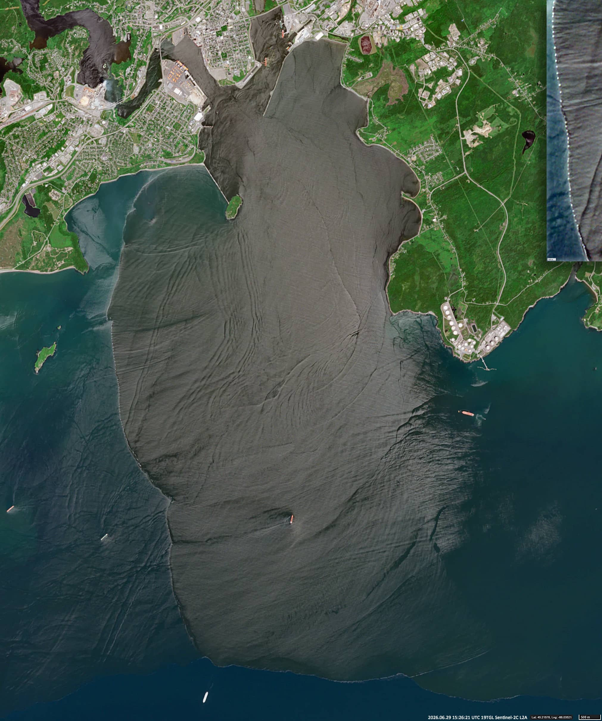
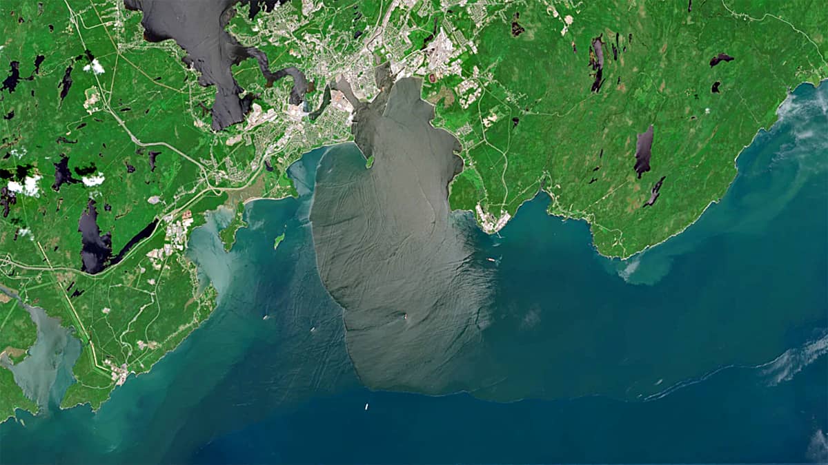
One such event was observed on 29 June, one day before the full Moon. During the ebb tide, water discharged from the narrow, rocky mouth of the Saint John River. Because the river water differed in velocity and salinity from the surrounding seawater, it reflected sunlight differently, producing a pronounced sun glint effect. This optical effect clearly distinguished the ebb-tide water mass from the surrounding waters, revealing features both within the outflow and in the adjacent marine environment.
The Sentinel-2 image clearly reveals internal waves near Saint John Harbour. These energetic waves are generated when strong tidal currents interact with the bay’s steep underwater topography and propagate along density interfaces between water masses.
Of particular interest is the propagation front of the ebb-tide water mass, visible west and south of the river outflow. It appears as a bright white band containing numerous small white patches distributed almost regularly along its western edge (see inset in the upper-right corner of the image).
These patches are white caps (sea foam), which are formed where the outgoing tide generates intense wave breaking and air-sea mixing. The seawater contains dissolved salts and natural organic compounds that stabilise the tiny air bubbles, enabling the foam to persist and appear bright white.
The nearly regular pattern of the white patches may result from the interaction between the advancing ebb front and internal waves. Wave breaking and whitecap formation are likely to be enhanced under favourable wind conditions at the interference maxima, producing the observed spatial distribution of foam patches.
A very similar pattern was observed on 27 May 2025, during the new moon.
Further reading
Bay of Fundy (Wikipedia)
Saint John River (Bay of Fundy) (Wikipedia)
Why are the Fundy tides so high? (Bay Fundy)
Why are the tops of waves white? (Carved by Curiosity)