
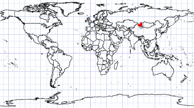
Khar Nuur
Khovd Province | Western Mongolia
Dates of acquisition:
• 2026.04.26 | 04:46:59 UTC
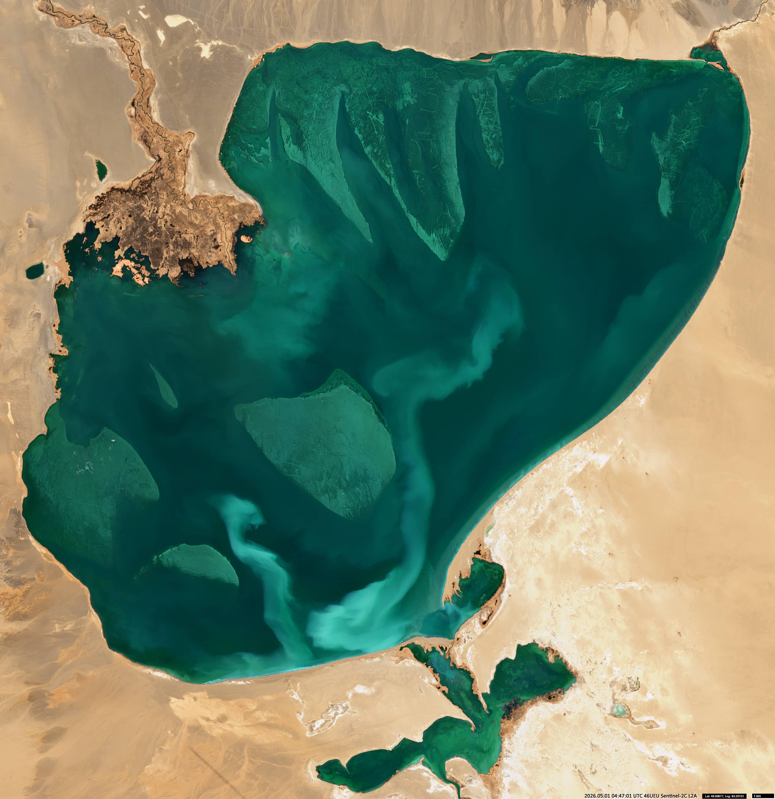
• 2026.05.01 | 04:47:01 UTC
Sensors: Sentinel-2B,C L2A
Coordinates: ca. 48.1°N, 93.2°E | MGRS: 15UVP 85 27
Khar Nuur (‘Хар нуур’, meaning ‘Black Lake’ in Mongolian) lies in the western part of the Great Lakes Depression in Mongolia. Spanning 565 km² with an average depth of just over four metres, this shallow freshwater lake was once part of a much larger palaeo-lake system. Today, a channel connects it at its southern end to the bitterly saline Durgan Nuur. The lake remains ice-covered from November until April.
Although Khar Nuur has received little attention from researchers to date, satellite images reveal several remarkable features.
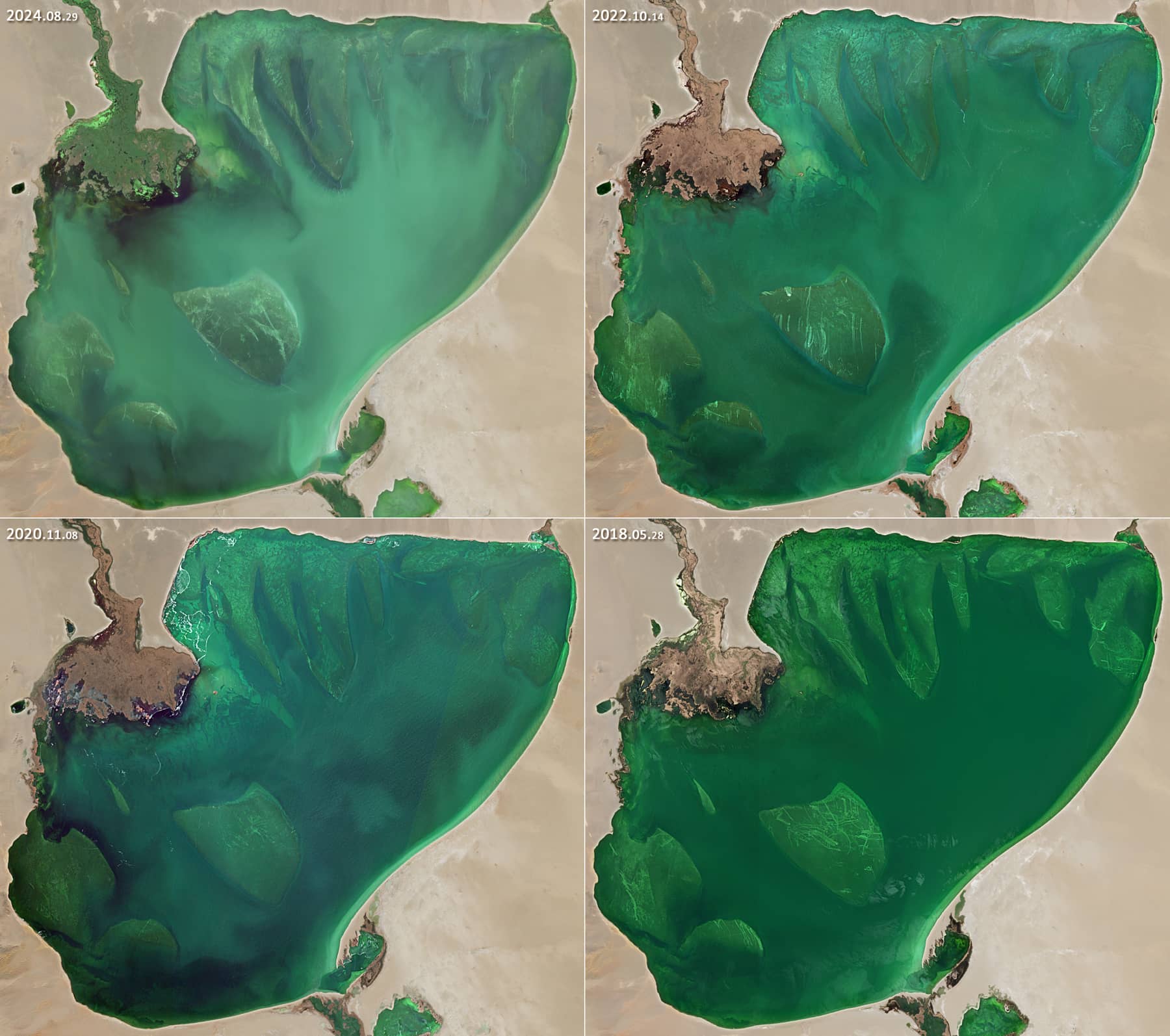
The first of these is the unusual morphology of its lakebed. Along the northern shore, bright, tongue-shaped structures can be seen, while similarly bright structures with clearly defined contours are found in the central and western parts of the lake (Figure 1). These features have remained stable since Sentinel-2 observations began in 2016 (Figure 2). They are interpreted as shallow underwater sandbanks lying only 1–2.5 metres below the surface. However, their origin remains unknown.
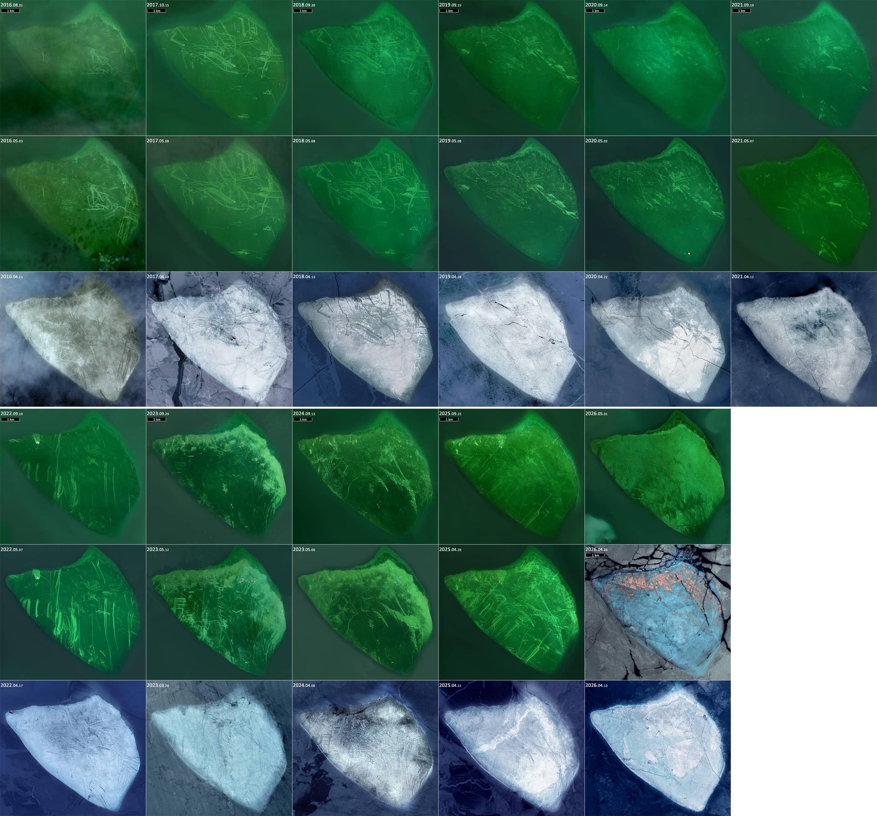
The second striking feature is the pattern of sharp, often parallel stripes that run across the lake’s shallow areas (see Figure 3). These markings typically emerge after the spring break-up and remain visible until the lake freezes again. Some persist for several years.
Their orientation often matches fractures in the drifting ice, suggesting that they are caused by mechanical abrasion when wind and currents push ice floes across the shallow lake bed. Ice ridges or debris trapped within the ice can further intensify this abrasion process.
Further reading
Khar Lake (Khovd) (Wikipedia)
Great Lakes Depression (Wikipedia)
Tectonic geomorphology of the lake depressions in the Mongolian Altai mountains, western Mongolia (Frontiers in Earth Science)
Khovd River Valley, Northwestern Mongolia (MAPSS)