
Ice in the Peabody Bay
North-East Greenland
Date of acquisition: June 27th, 2026 | 18:59:51 UTC
Sensor: Sentinel-2A L1C
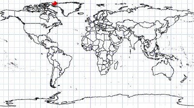
Coordinates ca. 80°N, 65.5°W | MGRS: 20NKF 21 00
After the recent extreme heat in Western and Central Europe, we are longing for something refreshing, a striking contrast.
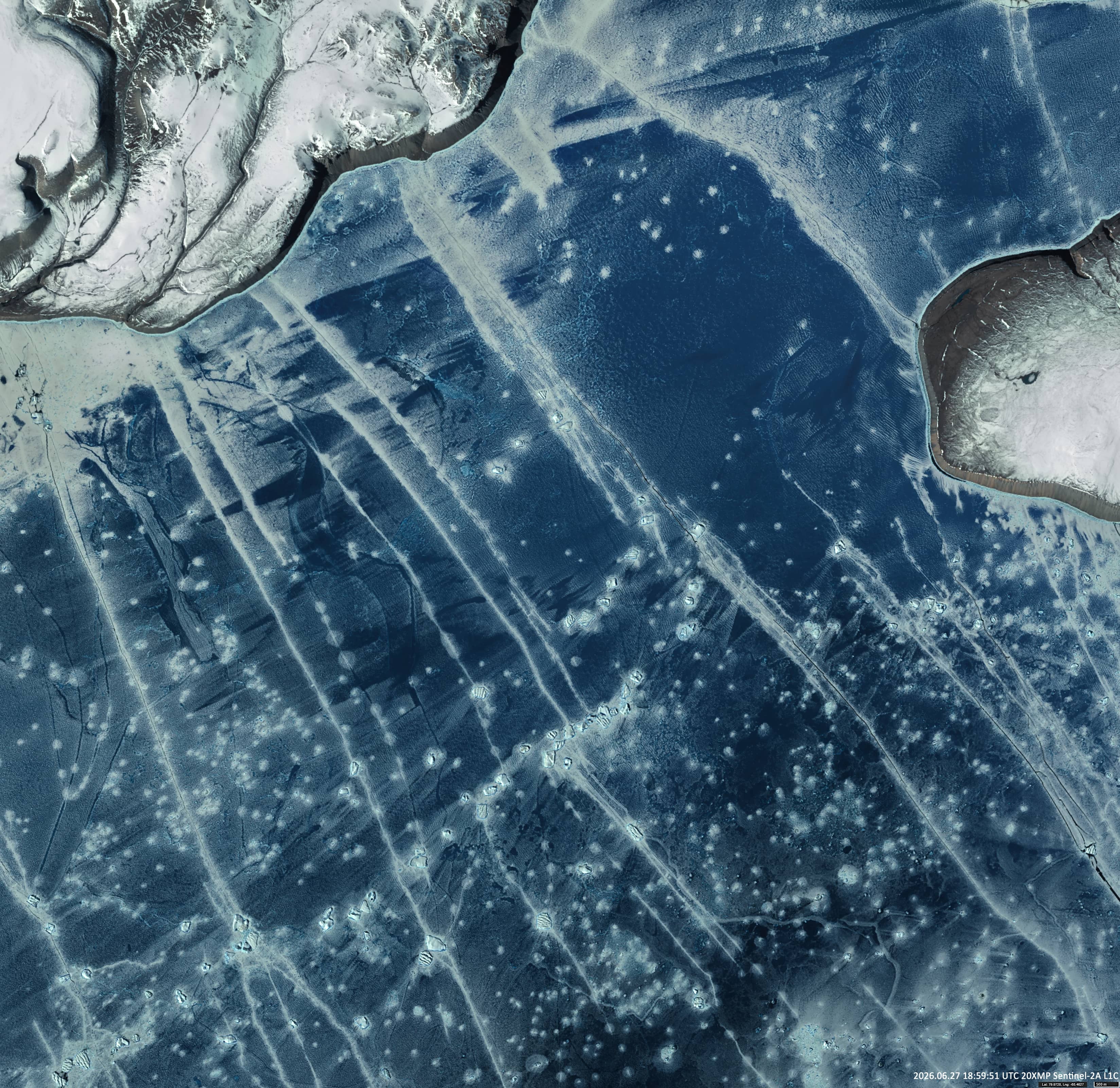
This Sentinel-2 satellite image shows the northern part of the Kane Basin and Peabody Bay, including Cass Fjord and Nigård Bay. These lie between northern Greenland to the east and Ellesmere Island (Canada) to the west.
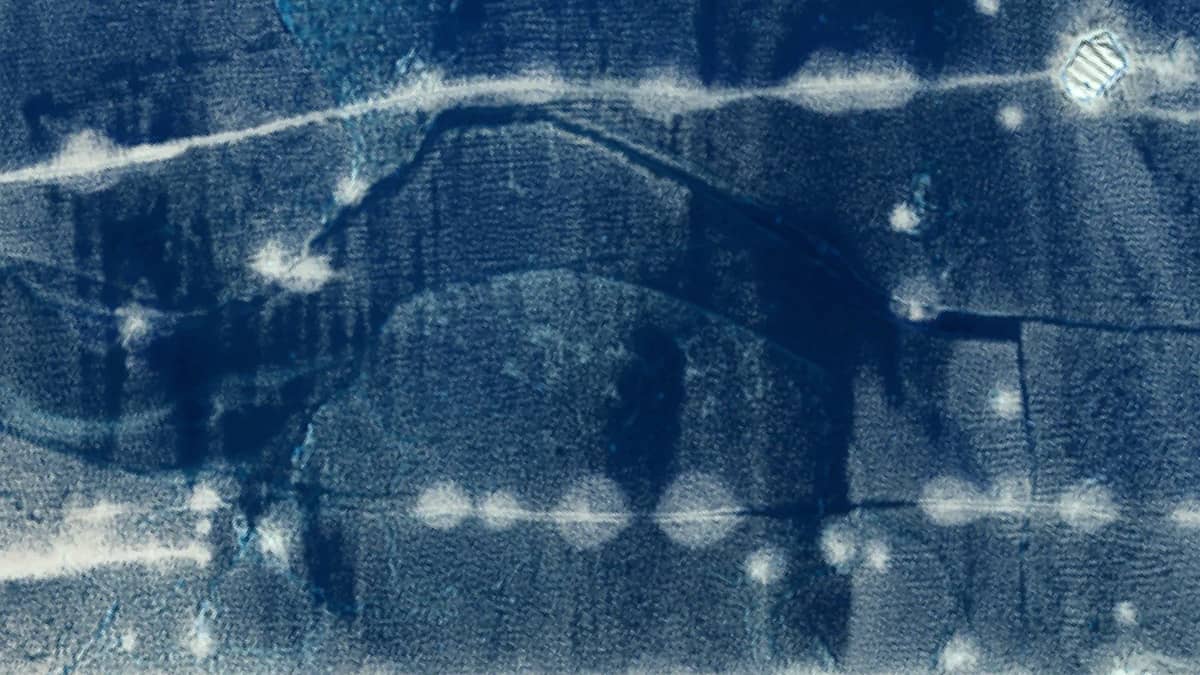
Despite sea surface temperatures being close to freezing (around 0 °C), the basin is still covered by a continuous sheet of sea ice. The transparent ice cover is crossed by numerous cracks, in which small icebergs aretrapped and frozen in place. Particularly remarkable are the circular ice structures scattered across the ice surface. This phenomenon was discussed in detail in “Circular Ice Formations in the Polar Ocean” in the BC Earth Gallery.
These circular structures are formed by cracks through which seawater rises to the surface due to capillary action. Once there, the water spreads slightly around the crack before freezing rapidly to create the characteristic circular patterns. In marine environments, the upward movement of the water can also be driven by tidal forces, internal wave activity or ice-induced oscillations. The upwelling seawater contains numerous microscopic air bubbles, which become trapped within the newly formed ice. This enhances light scattering, making these areas less transparent than the surrounding ice – a contrast that is clearly visible in satellite imagery.
Further reading