Gondwana Kalahari Park
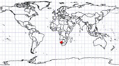
Southern Namibia | Western Kalahari Desert
Date of acquisition: 02 May 2026 | 08:25:59 UTC
Sensor: Sentinel-2B L2A
Coordinates: ca. 24.4°S, 18.04°E
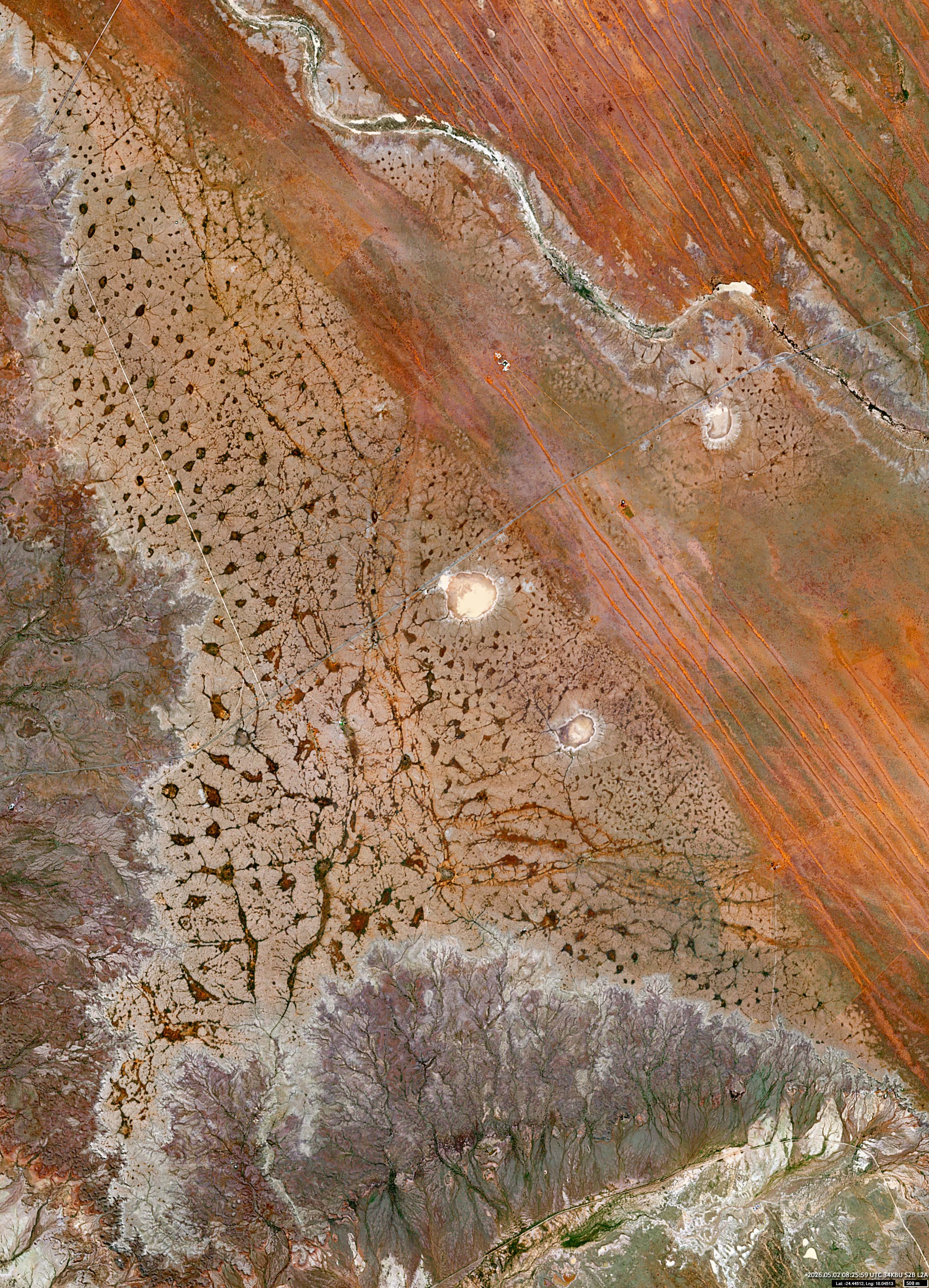
The image shows the northern outcrops of the Karoo Supergroup – specifically the Dwyka Group, which are located in the south of Namibia. This formation dates back to the Late Carboniferous period, around 300 million years ago. It consists of glacial deposits and sandstone sedimentary rock.
Gondwana Kalahari Park is situated on a slightly elevated plateau in this region, north-east of the small town of Mariental. The terrain slopes gently down towards the northeast, where red sandy dunes can be found.
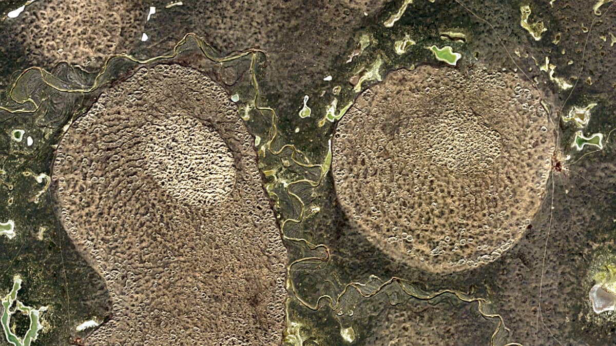
From a satellite perspective, a structure that strongly resembles a neural network in the brain is clearly visible, consisting of interconnected nerve cells (neurons). This pattern actually results from infrequent rainfall: small depressions in the surface collect water, forming pools or small lakes which are connected by narrow channels., Soil moisture is retained In these areas even during prolonged periods of drought, allowing vegetation to grow, such as acacia trees and shrubs. Their dark outlines stand out clearly against the red-yellow sands of the Kalahari.
Further reading
Geology of Karoo Supergroup (Wikipedia Image)
Lower Karoo Group (Wikipedia)
Gondwana Canyon Park (Info Namibia)
Zebra Trail, Gondwana Kalahari Park (Komoot)