
Athabasca Sand Dunes
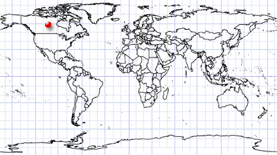
Northern Saskatchewan | Central Canada
• 2026.09.24 | 18:31:11 | Sentinel-2C L2A
• 2026.10.07 | 18:42:51 | Sentinel-2C L2A
Coordinates: 59.1°N, 109.3°W | MGRS: 12VWL 97 52
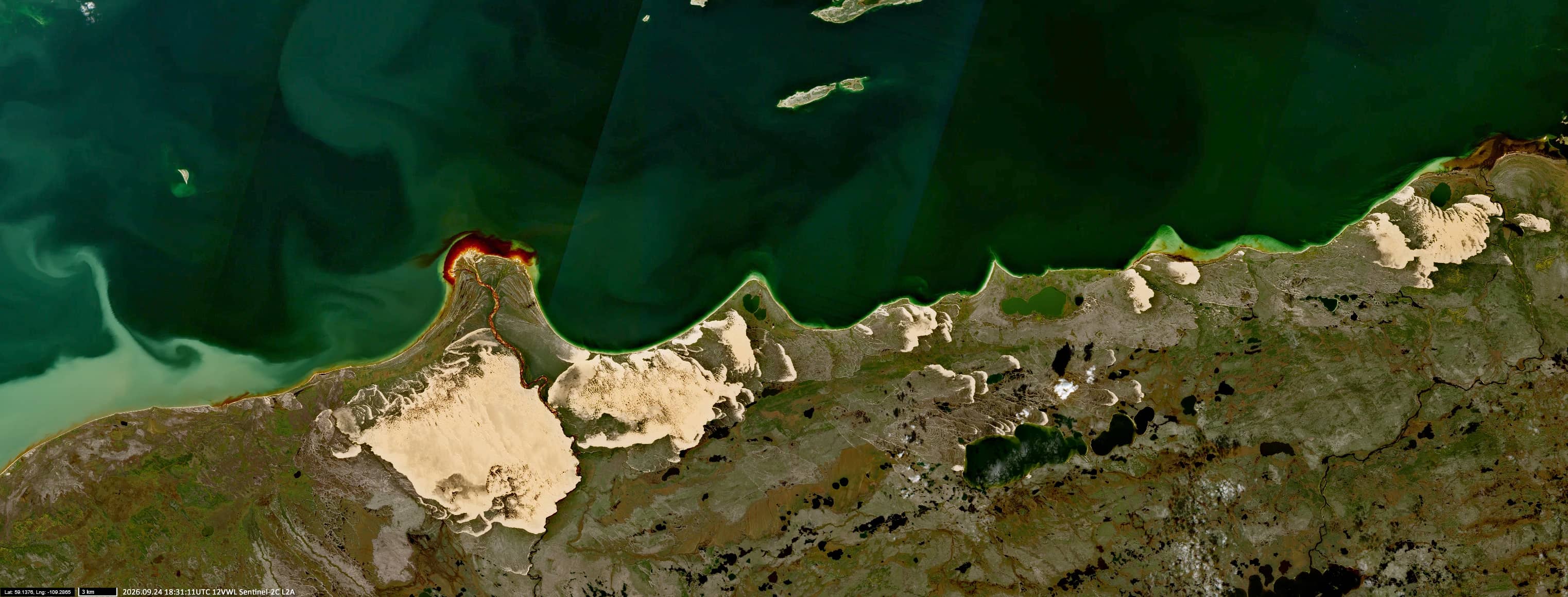
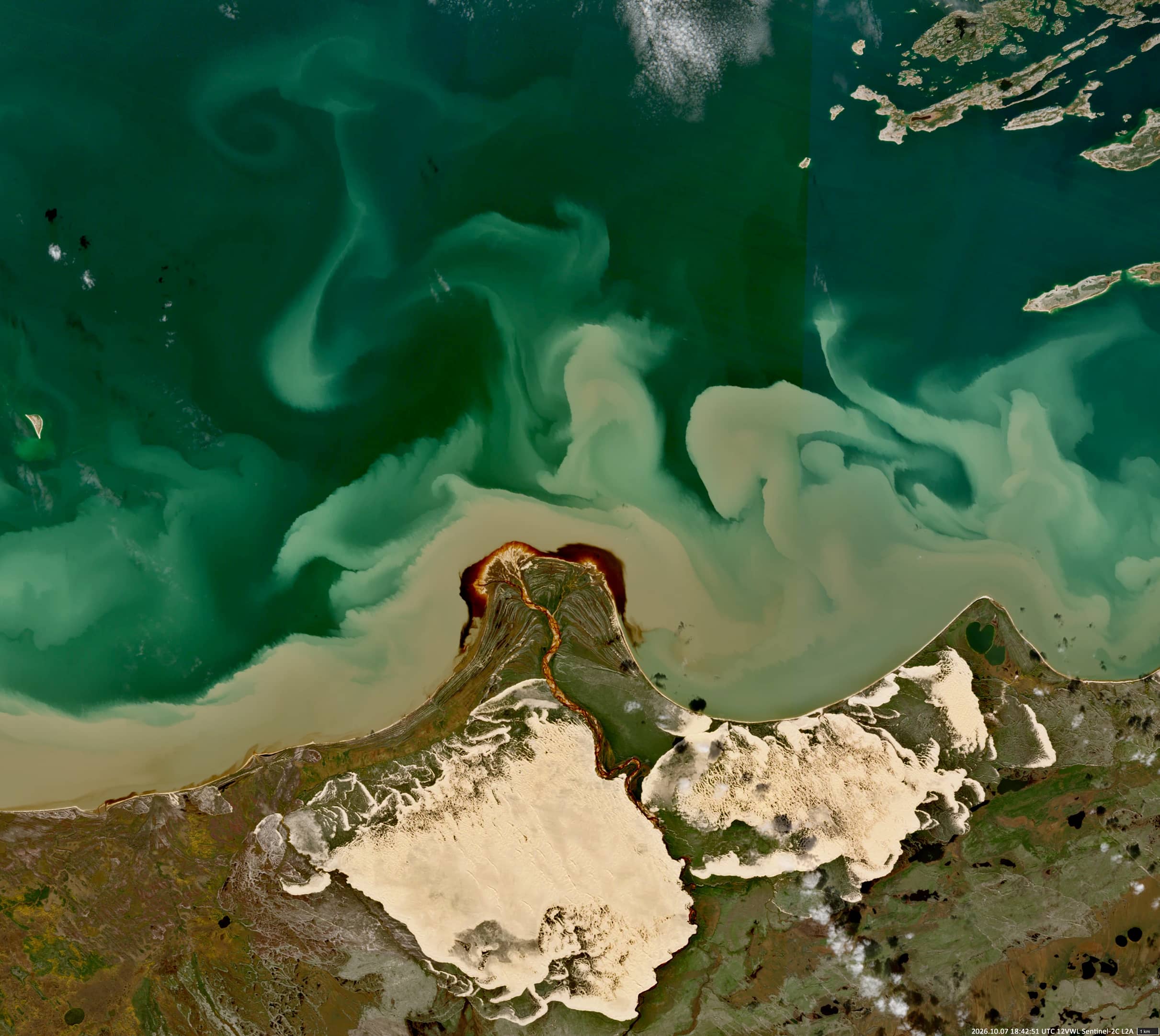
The area around the William River and Lake Athabasca in northern Saskatchewan, Canada, is characterized by extensive sand dunes, wetlands, peatlands, and boreal forests (Figures 1–3). The Athabasca dune field stretches for approximately 60 miles (100 km), while the surrounding sandy deposits cover about 730 square miles (1,900 km²). The dunes consist mainly of ancient aeolian sands associated with the region’s sandstone formations.
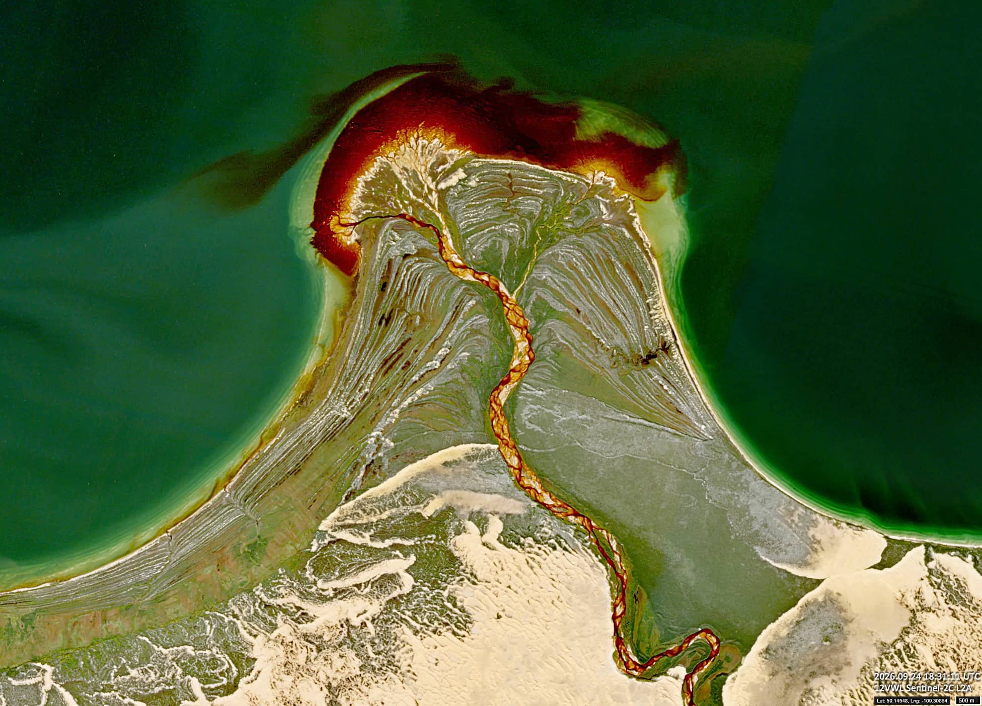
The William River enters Lake Athabasca from the south, transporting sediment and forming a sandy delta dissected by a branching network of channels. Much of the region was once submerged beneath Glacial Lake McConnell. As the lake level declined at the end of the last glacial period, sediments supplied by meltwater rivers were exposed, contributing to the formation of the present-day landscape.
The river water appears dark brown in the Sentinel-2 images, due to coloured dissolved organic matter (CDOM), including humic and fulvic compounds originating from wetlands and organic-rich soils. Mineral suspended matter transported from sandy deposits may also contribute to the observed water colour (Figures 2 and 3).
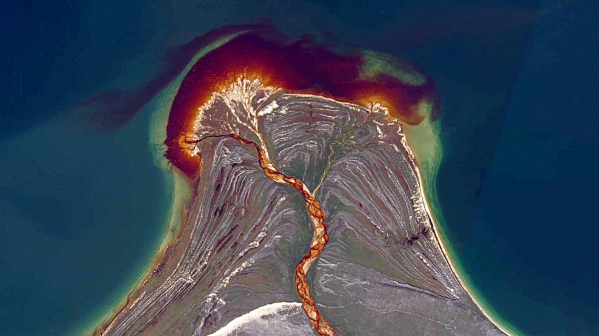
Viewed from above, the delta’s shape resembles a cross-section of an erupting volcano, with two apparent vents and branching flows extending into the lake (Figure 2).
Further reading
Athabasca Sand Dunes Provincial Park (Wikipedia)
William River (Canoe Ski)
The Wave-Dominated William River Delta, Lake Athabasca, Canada (GeoScienceWorld)
Long‐term sand dune spatio‐temporal dynamics and endemic plant habitat extent in the Athabasca sand dunes of northern Saskatchewan (ResearchGate)