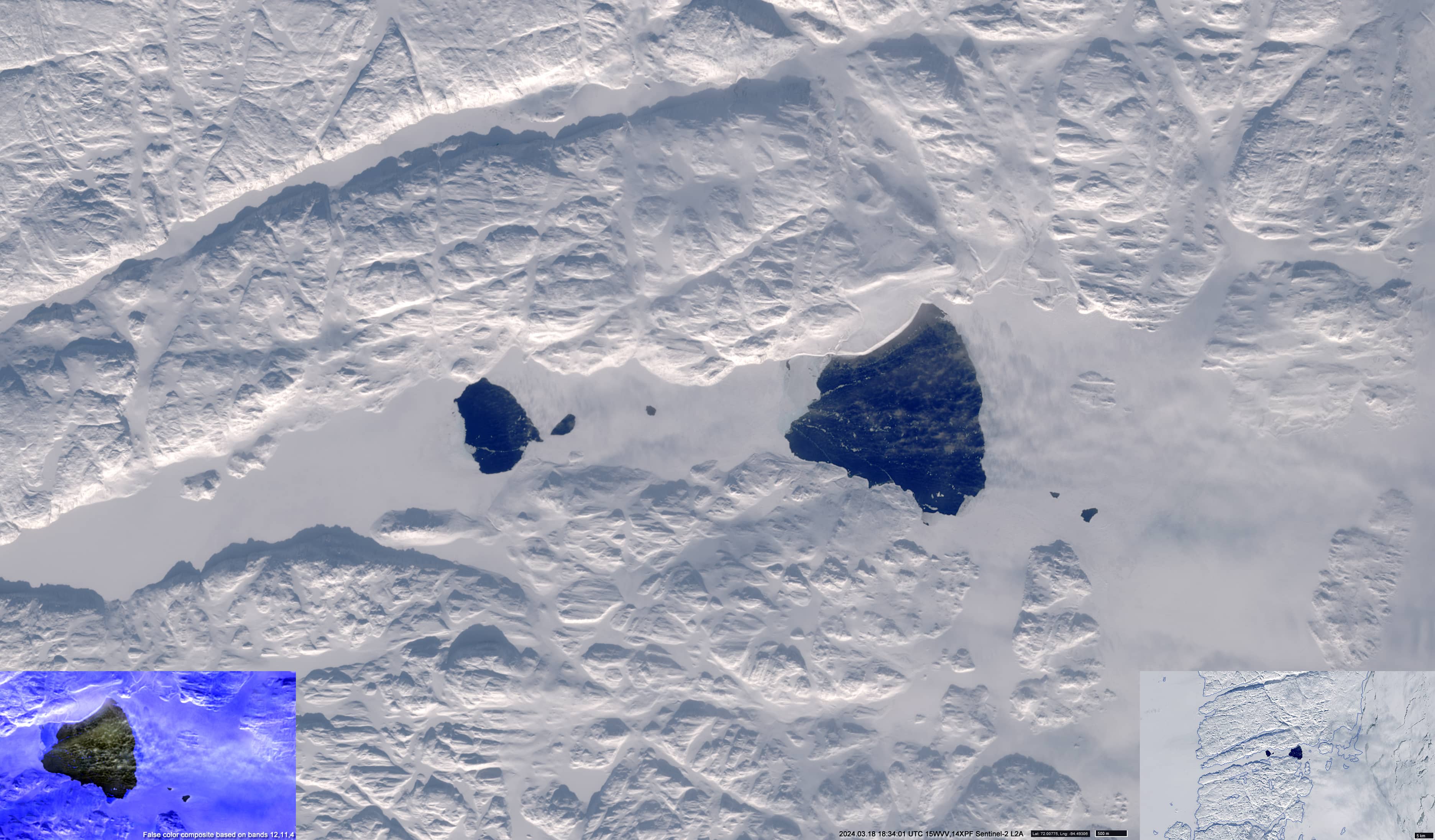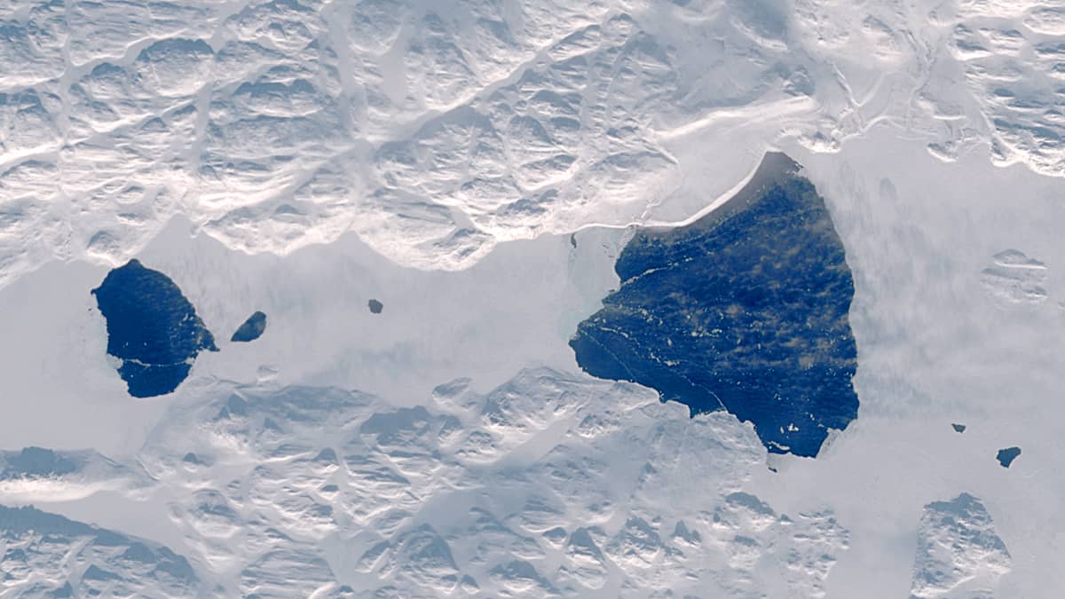
Bellot Strait Polynya
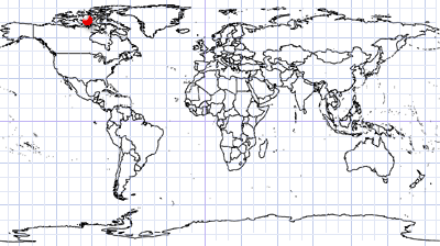
Nunavut territory | Northern Canada
Date of acquisition: March 18th, 2024 | 18:34:01 UTC
Sensor: Sentinel-2A L2A
Coordinates: ca. 72°N, 94.5°W
The satellite image shows the polynya in the eastern part of Bellot Strait, at its junction with Brentford Bay; in the image its extension is about 7.6 km2. About 5 km to the west of it in the centre of the strait, there is another small area of open water. Apart from the periodically forming and freezing cracks in Prince Regent Inlet, this is the only permanently ice-free area within many tens or even hundreds of kilometers of continuous ice sheet.
The presence of the polynya can be explained by the influence of currents passing through the narrow strait separating Somerset Island from the Boothia Peninsula, the northernmost part of North American mainland. Bellot Strait, 2 km wide and 25 km long, connects Prince Regent Sound in the east with Peel Sound in the west. This is the narrowest sea corridor in the Canadian Arctic.
The current in the strait can reach speeds of up to 15 km/h and often changes direction depending on the tides. The western part of the strait is deeper (≈300 m) than the eastern entrance (≈20 m). The strong current and the presence of a shallow barrier contribute to the stable existence of the polynya.
A small ice-free space in the centre of the strait (1.5 km2) is usually observed from the end of December to March.
Bellot Strait ensures the flow of Pacific waters into the North Atlantic and, as a migratory corridor, facilitates the exchange of many aquatic animals between the two oceans.
In the image, the polynya is steaming because the water temperature is higher than the surrounding air (about -35°C).