Weldon Glacier
Coatesland | East Antarctica
Date of acquisition: December 22nd, 2023 | 10:13:00 UTC
Sensor: Sentinel-2B L2A
Coordinates: ca. 77.203056°S, 31.840278°W
The Weldon Glacier (also known as the Weldon Ice Stream) is a glacier in Coatesland, East Antarctica. It flows in a northwesterly direction between Vahsel Bay and the Hayes Glacier on the Luitpold coast into the southeastern part of the Weddell Sea. It was discovered from an aircraft in 1967 and named after Don W. Weldon, an aerial photographer involved in the flight.
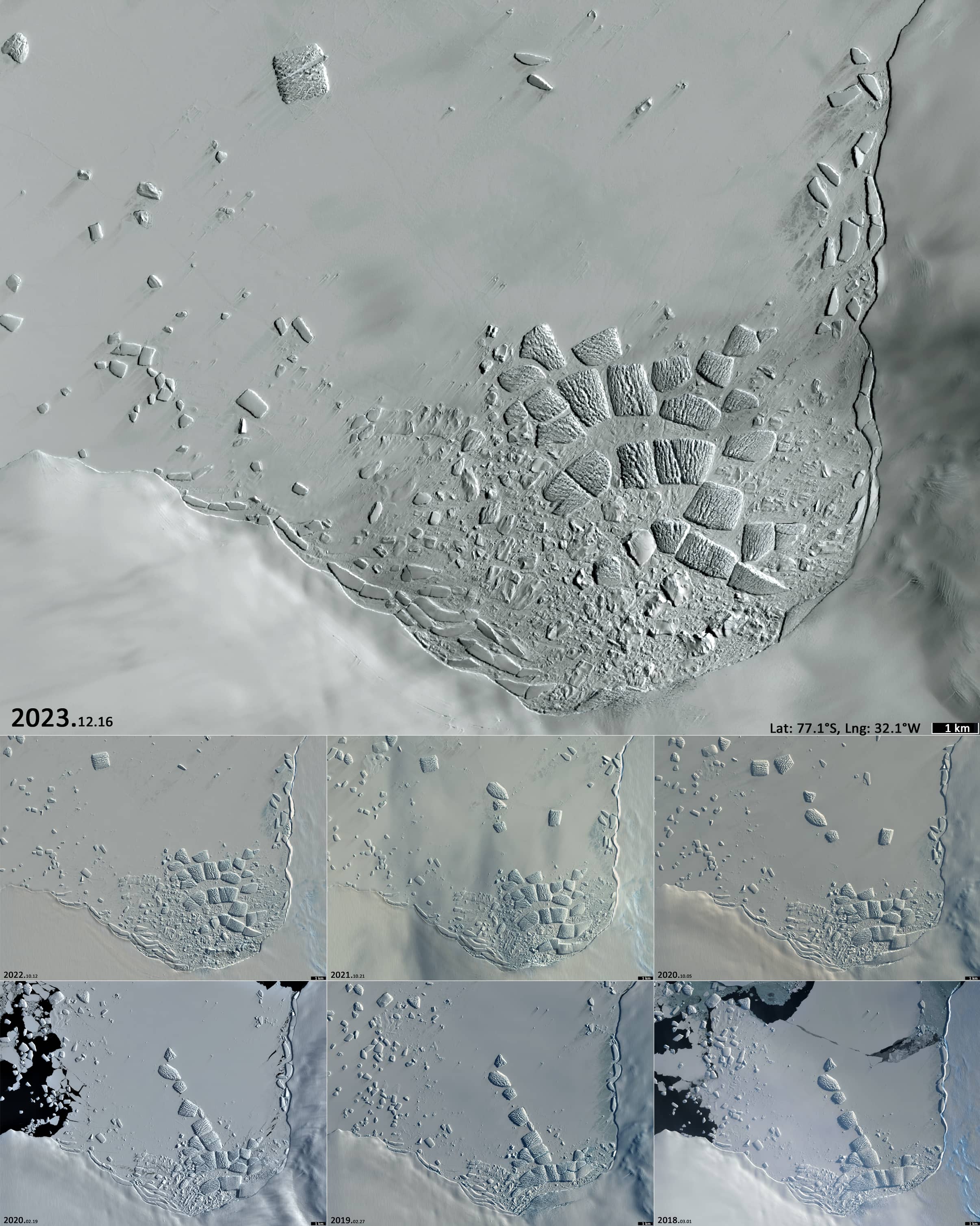
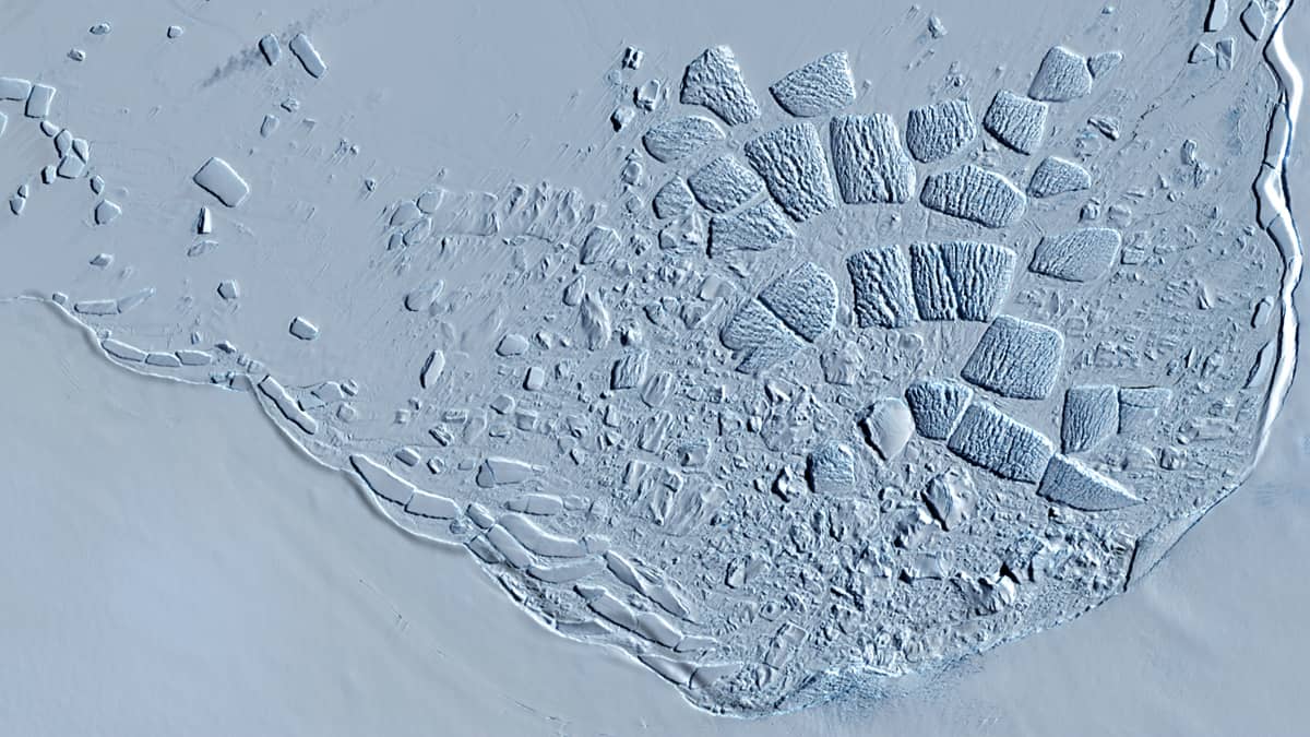
The glacier forms small rectangular icebergs (500 to 1200 meters across) that calve from it and then accumulate in a small bay of fast ice for several years before drifting away from time to time.
Intensive iceberg movement in this region usually occurs in March, and less frequently in February and April. During the other months, the bay and its surroundings are covered with fast ice and the position of the icebergs does not change.
The surface of the icebergs is uneven, with cracks and crevices. In the satellite image, the icebergs look like blue-and-white sugar cubes or marshmallows.
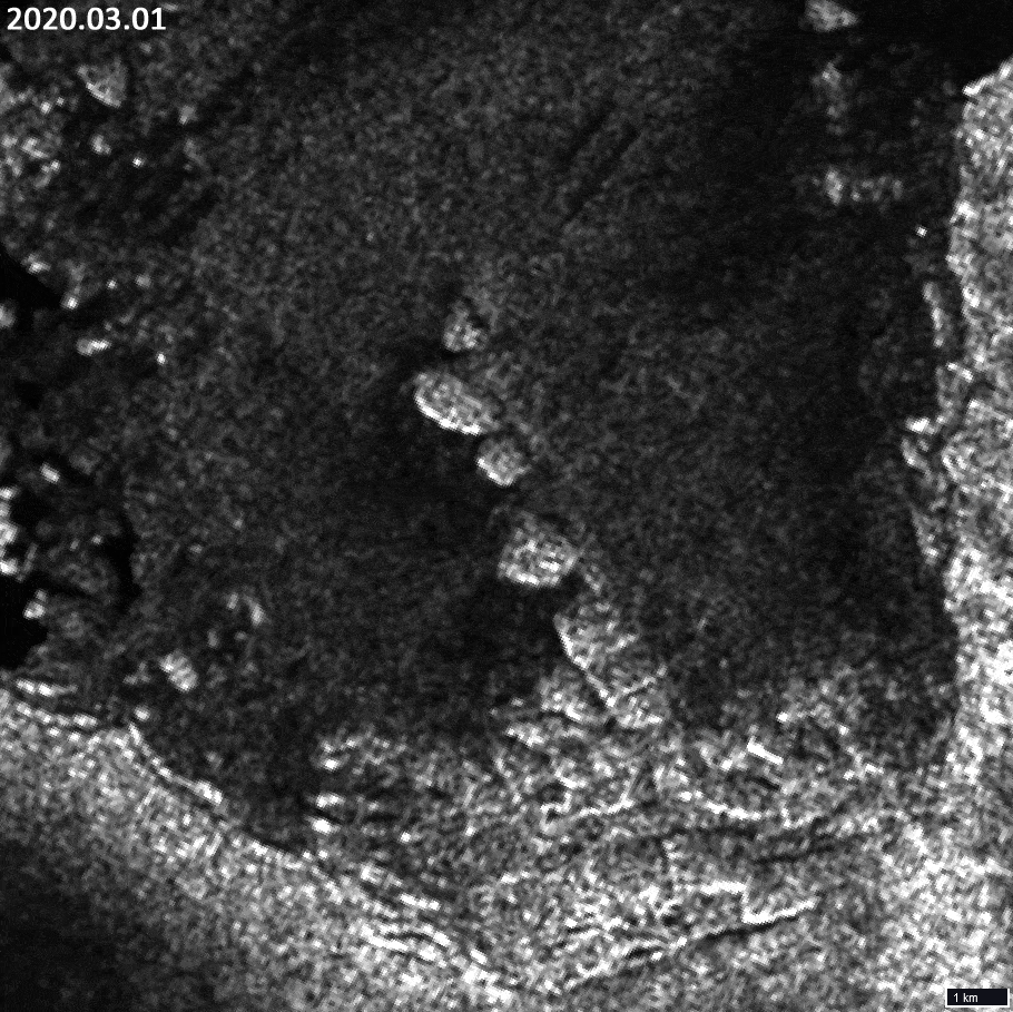
The following images show the situation in the bay for the period 2018-2022. A group of icebergs spreading out in a chain, was “dormant” until the spring of 2020, when it began to move to the northwest. At the same time, new material from the glacier began to spread into the bay.
The movement of an iceberg chain presents an interesting challenge for observers: to follow the movement of each of them and determine which is which.
Try it. A small animation (70 seconds) serves as a guide. It uses data from the Sentinel-1 satellite. Sentinel-2 data from polar latitudes from mid-March to mid-September are not available.