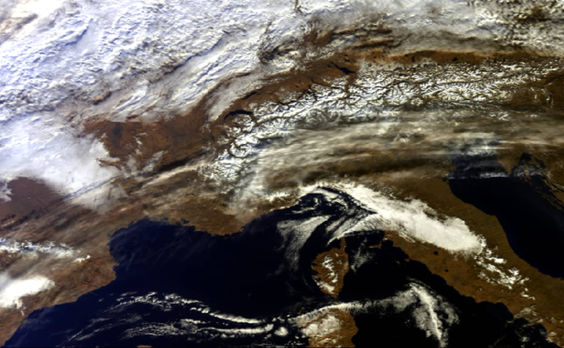
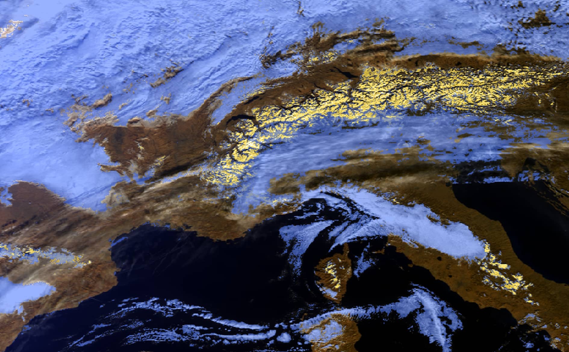
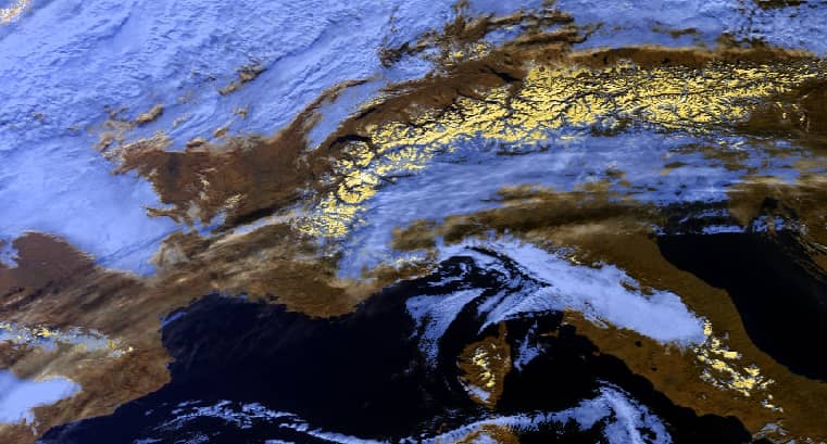
The term “pixel identification” refers to a classification of a measurement made by a space borne radiometer. Before processing land or water pixels, or exempting them from further processing, it is necessary to sort them into the surface types: cloud, clear sky land, and clear sky water. Depending on the downstream processing steps some additional properties like cloud or mountain shadow, snow cover or aerosol contamination are needed.

IdePix is a multi-sensor pixel identification tool available as a SNAP (Sentinel Application Platform) plugin. It provides pixel identification algorithms for a wide variety of sensors like Sentinel-2, Sentinel-3, MERIS, Landsat-8, MODIS, VIIRS, Proba-V or SPOT VGT, just to mention a few. It is therefore a one-stop pixel identification tool if you are working with multiple sensors. As a SNAP plugin, it can be used in combination with other algorithms available from S2 & S3 toolboxes, to create powerful processing chains with SNAP or GPT (Graph Processing Tool).

In contrast to many other pixel identification tools, IdePix provides non-exclusive property flags. This means a single pixel can have multiple properties like land and cloud (semi-transparent cloud over land), land and snow (land covered with snow), or land, snow and cloud (semi-transparent cloud over snow covered land). It provides a flags band with which all further algorithms can be triggered individual following valid pixel expressions specified for the respective application.

The development of IdePix started many years ago already in BEAM (Basic ERS & Envisat (A) ATSR and Meris Toolbox) and was further developed and used for many applications (preprocessing) and projects.

Some parts of IdePix are implemented in the Sentinel-3 OLCI and SYN ground segment and within the Copernicus Service for Inland Waters.

BC’S ACTIVITIES
  • Algorithm development and validation
  • Software implementation and testing
  • Interfacing with scientists from various disciplines
  • Application in operational services
PROJECTS

Copernicus Climate Change Service, ESA CCI: (Ocean Colour, Land Cover, Fire, Sea Surface Temperature, Water Vapour)
Copernicus Global Land Operations, CODE-DE, CyanoAlert, DataCube Service for Copernicus, GlobWetland Africa, Multiply, Sentinel-3 Mission Performance Centre, S3-Snow, SNAP

CLIENTS/ PARTNERS

ESA, SNAP users, scientific and operational community