Climate change has enormous environmental impact and is consequently creating socio-economical challenges facing us in the twenty-first century. The consequences of a warming climate are far-reaching, potentially affecting freshwater resources, global food production and sea level. Threatening impacts on the natural environment and life on Earth for generations to come, climate change is high on political, strategic and economic agendas worldwide.

The Global Climate Observing System (GCOS) programme, an international, interagency interdisciplinary framework for meeting the full range of national and international needs for climate observations developed the concept of the Essential Climate Variable (ECV) to meet the need for a systematic observation of climate. An Essential Climate Variable (ECV) is defined as significant contributor for the characterisation of Earth’s climate physical and is chemical or biological variable or a group of linked variables.

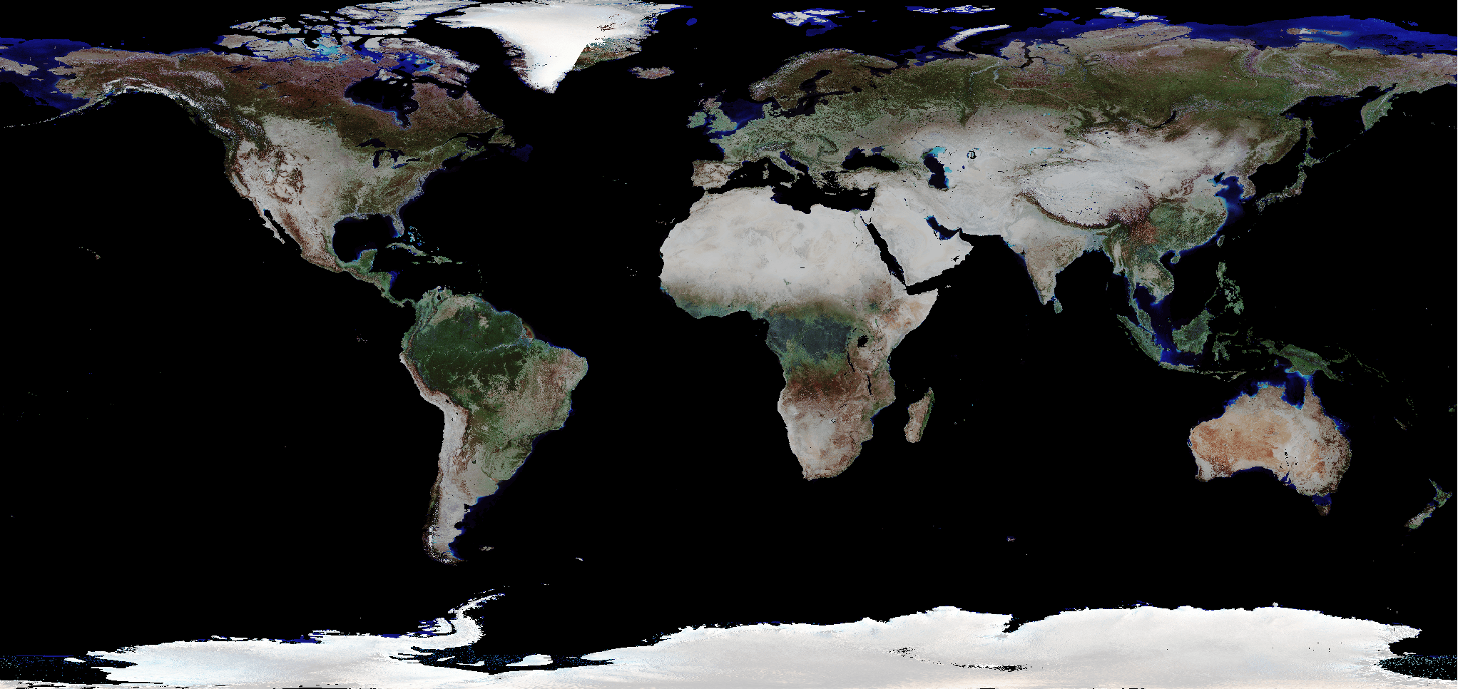
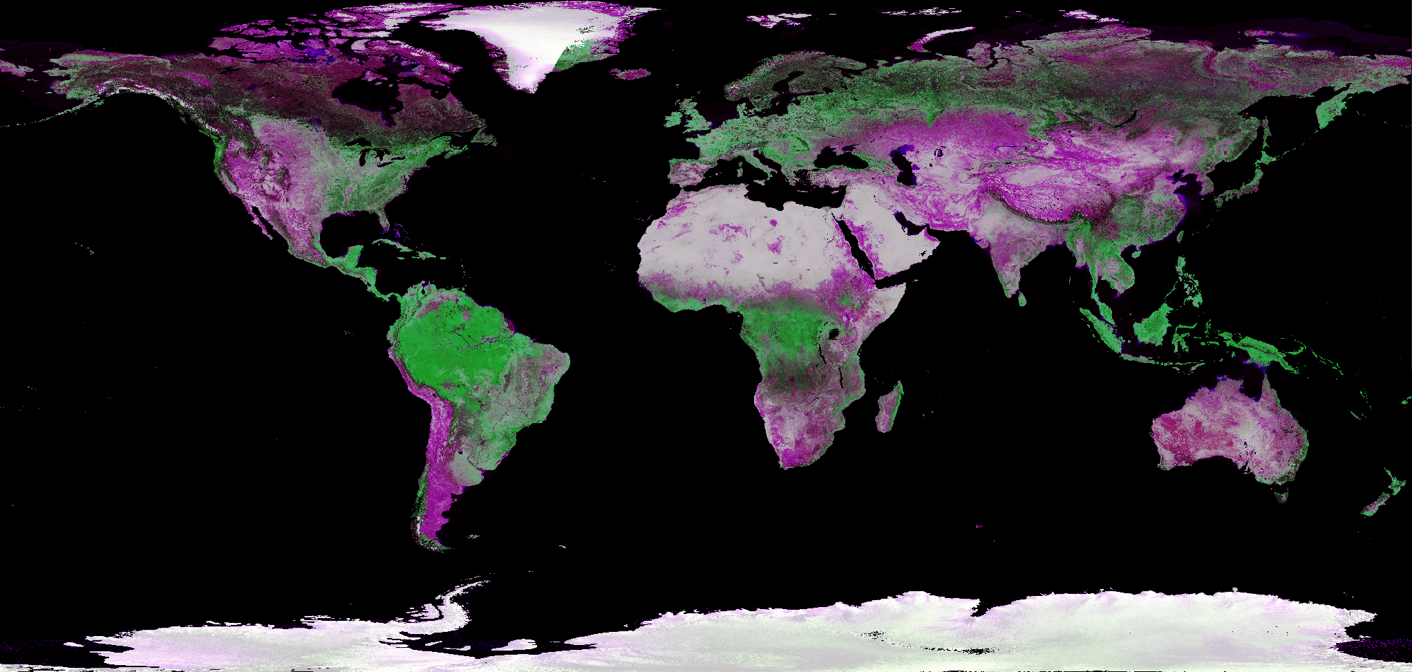
Land Cover influences climate by modifying water and energy exchanges with the atmosphere, by changing greenhouse gas and aerosol sources and sinks and is therefore classified as essential climate variables (ECVs). Land Cover is defined as the physical material at the surface of the earth and include different vegetation types, asphalt, bare ground, water, etc. The importance of these issues requires continuous monitoring systems and the most accurate data.

The Land Cover CCI project, which is part of the ESA Climate Change Initiative, is developing the scientific basis. The Copernicus Climate Change Service – Lot 5 as part of the Copernicus Climate Change Service (C3S), which is implemented by the European Centre for Medium-Range Weather Forecasts (ECMWF) on behalf of the European Commission, is systematically producing Land Cover ECV. Brockmann Consult is participating in both activities and is developing and producing global land surface reflectances from various satellite missions which is the primary data source for the Land Cover ECV.

The overall objective of Land Cover CCI is to critically revisit all algorithms required for the generation of a global land products in the light of GCOS requirements, and to design and demonstrate a prototype system delivering in a consistent way over years and from various EO instruments global land cover information matching the needs of key users’ belonging to the climate change community. The focus is placed on the ESA and Member States missions providing near daily global surface reflectance observation at moderate and high spatial resolution (MERIS FR & RR, SPOT VEGETATION, PROBA-V as well as Sentinel-2 for African and Mesoamerica coverage) as well as contributions of ESA SAR sensors for water bodies mapping. The Copernicus Climate Change Service (C3S), as mentioned before, allows the continuation of the processing and especially integration of the Sentinel-3 OLCI & SLSTR data.

The so-called pre-processing is the production step where all radiometric, geometric and atmospheric disturbances are removed, and the reflectance of the Earth surface is retrieved. The screening of clouds and cloud shadow is a key challenge in this step. This pre-processing is the specific domain of expertise of Brockmann Consult. The respective processing chains are based on SNAP operators using the Graph Processing Framework. SNAP comprises an application for interactive work with the Earth Observation data (SNAP Desktop), the Graph Processing Framework to create and execute recurring workflows, a command line interface, as well as programming interfaces for python and Java. Thus, SNAP can be used for interactive image visualisation and analysis, automation of processing chains, use of SNAP operators in own software and extension of SNAP with new functionality. All SNAP functions are implemented as plug-ins and are available from all above-mentioned interfaces, so that interactive exploration can be further standardised and automated through the GPF and command line interface.

The global land surface reflectances produced by Brockmann Consult are also applied to retrieve the ECV – Fire Burned Area, see the corresponding description of the Fire BA application.

BC’S ACTIVITIES
  • Scientific development of preprocessing algorithms
  • Atmospheric correction for various sensors
  • Error characterisation
  • Validation of algorithms
  • Development of software processors implementing the scientific algorithms
  • Development of production system for mass production of large data sets
  • Production
  • Product validation
  • Documentation and reporting
PROJECTS

Landcover CCI,  Copernicus Climate Change Service-Lot 5, Copernicus Climate Change Service 2-Lot 5

CLIENTS/PARTNERS

ESA, Université Catholique de Louvain (UCL), Gamma Remote Sensing, Joint Research Centre (JRC), Wageningen University & Research, Laboratoire des Sciences du Climat et de l’Environnement (LSCE), MPI Hamburg, UK Met Office, Friedrich-Schiller-University Jena, University of Pavia, Luxembourg Intitute of Science and Technology (LIST)

ECMWF, VITO, EOLAB, FastOpt, HYGEOS, King’s College London, METEO-France, University of Alcala, Université Catholique de Louvain, University College London

DATA ACCESS

The primary source for Land Cover data developed within ESA CCI is the CCI Open Data Portal (Open Data Portal (esa.int)). A comprehensive overview of the publicly available data is given on the corresponding data website of the ESA LC CCI project. Additionally, the LC maps of 1992-onwards are/ will be provided via Climate Data Store of the Copernicus Climate Change Service (C3S) at ECMWF.