
Sediment movement behind offshore wind-turbines
Mouth of Qiantang River | East China Sea
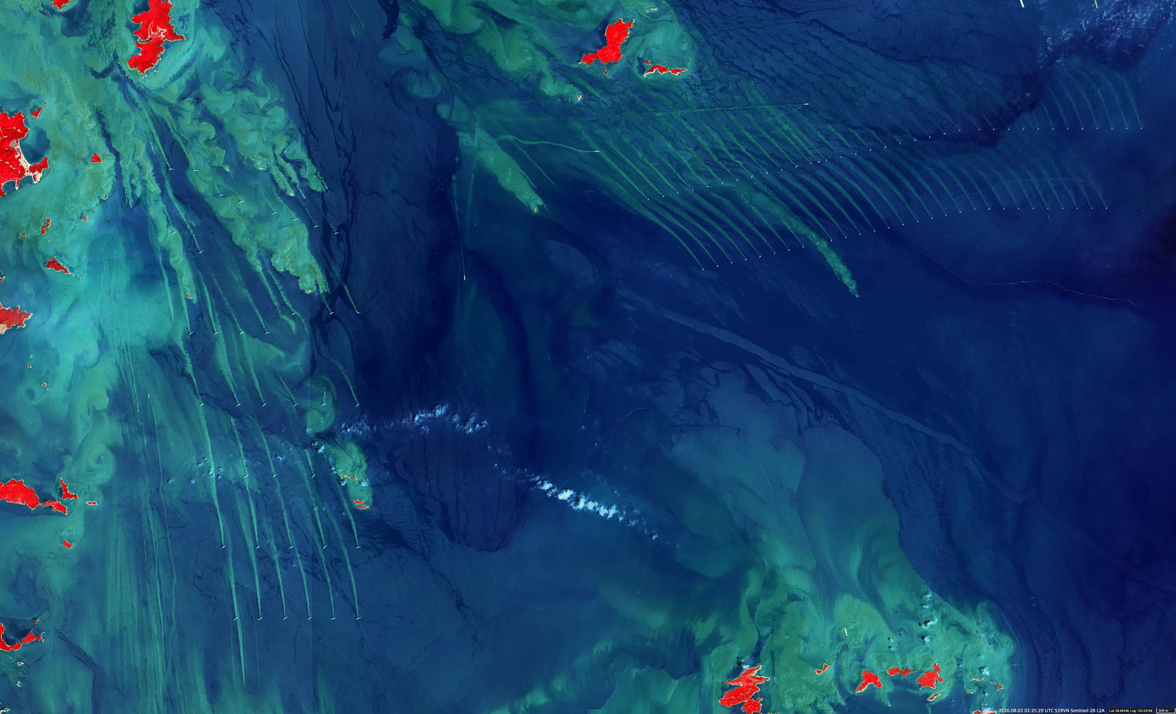
• 2026.08.02 | 02:25:29 UTC | Sentinel-2B L2A
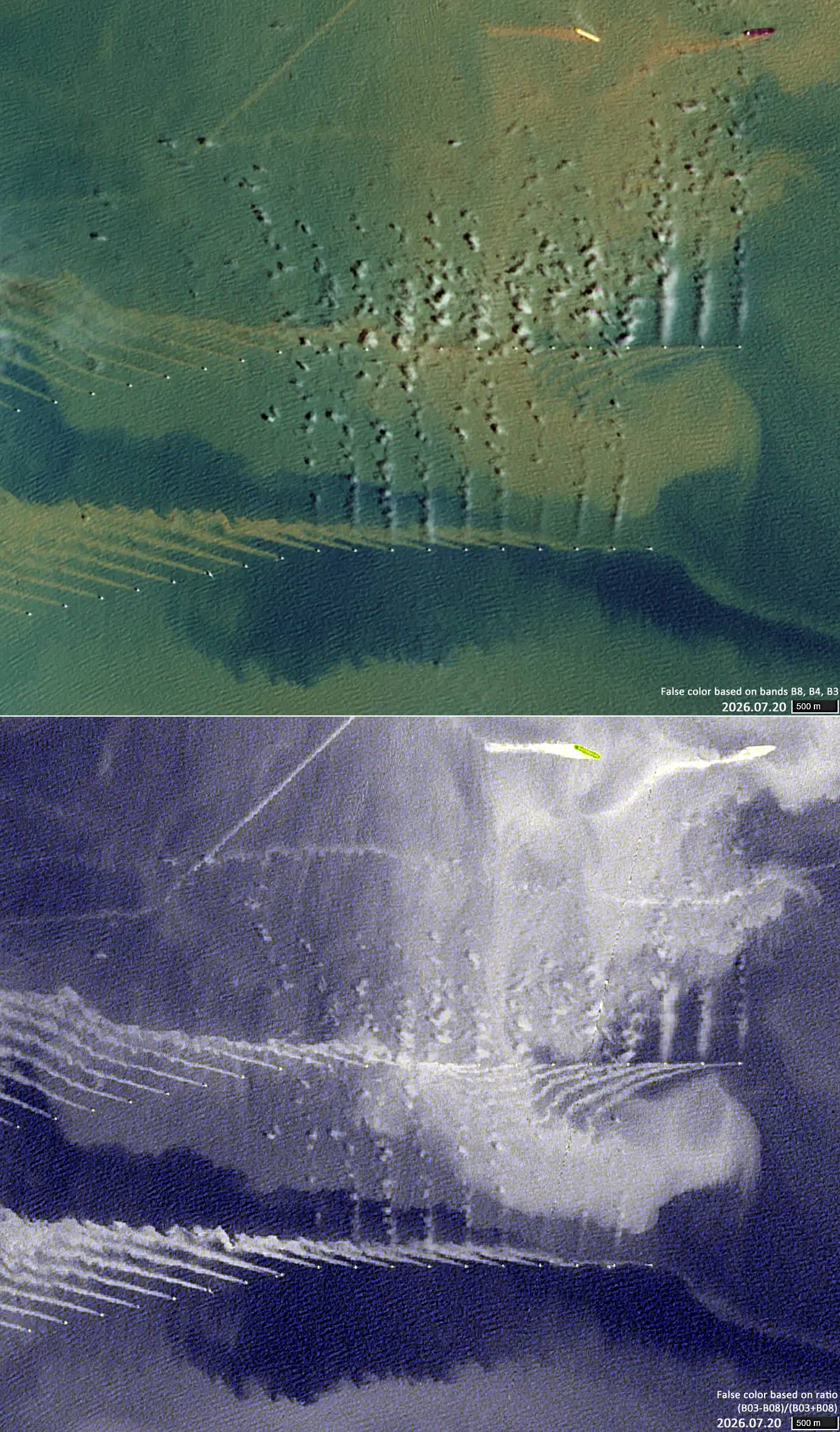
• 2026.07.20 | 02:31:41 UTC | Sentinel-2A L1C
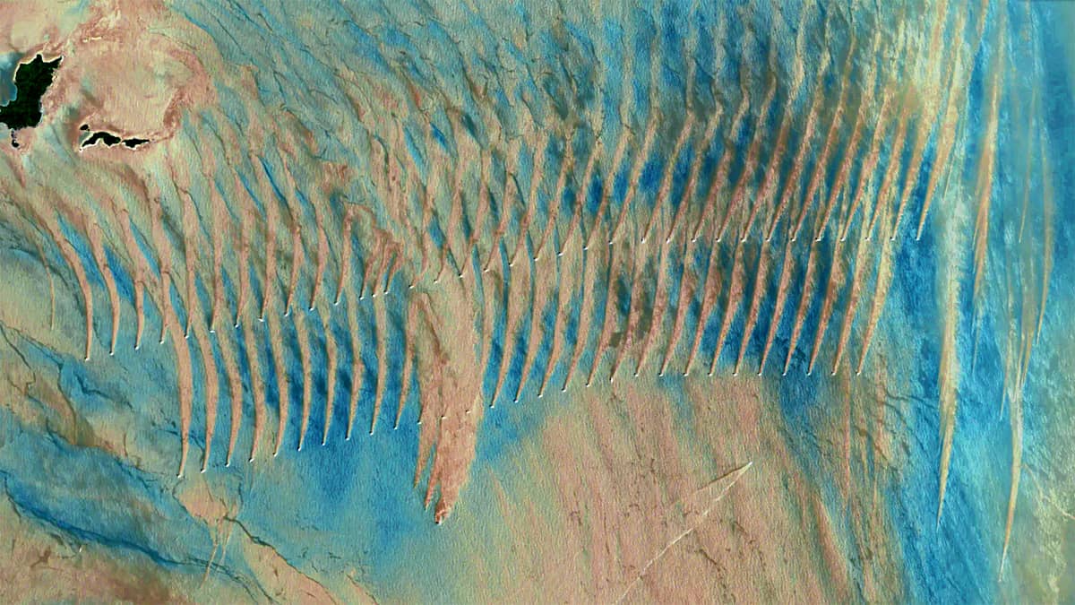
• 2025.04.29 | 02:25:29 UTC | Sentinel-2B L2A
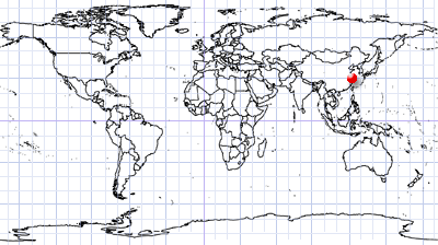
Coordinates: 29.58°N, 122.23°E | MGRS: 51RVN 25 72
The Mopanyang (磨盘洋) sea area is a nearshore marine region located southeast of Liuheng Island in the Zhoushan Archipelago, in Zhejiang Province, eastern China. Situated on the continental shelf of the East China Sea, the area is relatively shallow, with water depths typically ranging from 10 to 40 metres.
The current regime in the area is highly dynamic, with some of the most intense tidal currents in China. Strong horizontal currents continuously resuspend fine sediments carried into the sea by the nearby Yangtze River, which makes the water appear yellowish-brown and extremely turbid. During the summer months, the region is also affected by the Zhoushan upwelling, whereby cold, deep, nutrient-rich water rises towards the surface.
The Guodian Zhoushan Putuo No. 6 Offshore Wind Farm, a 252 MW renewable energy project, is located in the Mopanyang sea area. Construction began around 2017 and the wind farm comprises 63 turbines arranged in two parallel rows.
Figure 1 shows a Sentinel-2 false-colour image using bands B8, B4 and B3 (RGB[B8,B4,B3]). Long sediment plumes generated by turbulence on the leeward sides of the offshore wind turbine foundations are clearly visible in this image. These plumes act as indicators of the chaotic, vortex-like disturbances generated within the water column.
The same process occurs around the Tuci Offshore Wind Farm foundations (CGN Xiangshan Tuci), which are located off the north-eastern coast of Xiangshan County in Ningbo, immediately adjacent to the Niubi Mountain Channel (see Figure 1, left).
The presence of a large number of obstacles in shallow water has consequences for the region. It affects water transparency and light penetration, the transport of suspended and dissolved materials, seafloor morphology and sediment accumulation, and the local ecosystem.
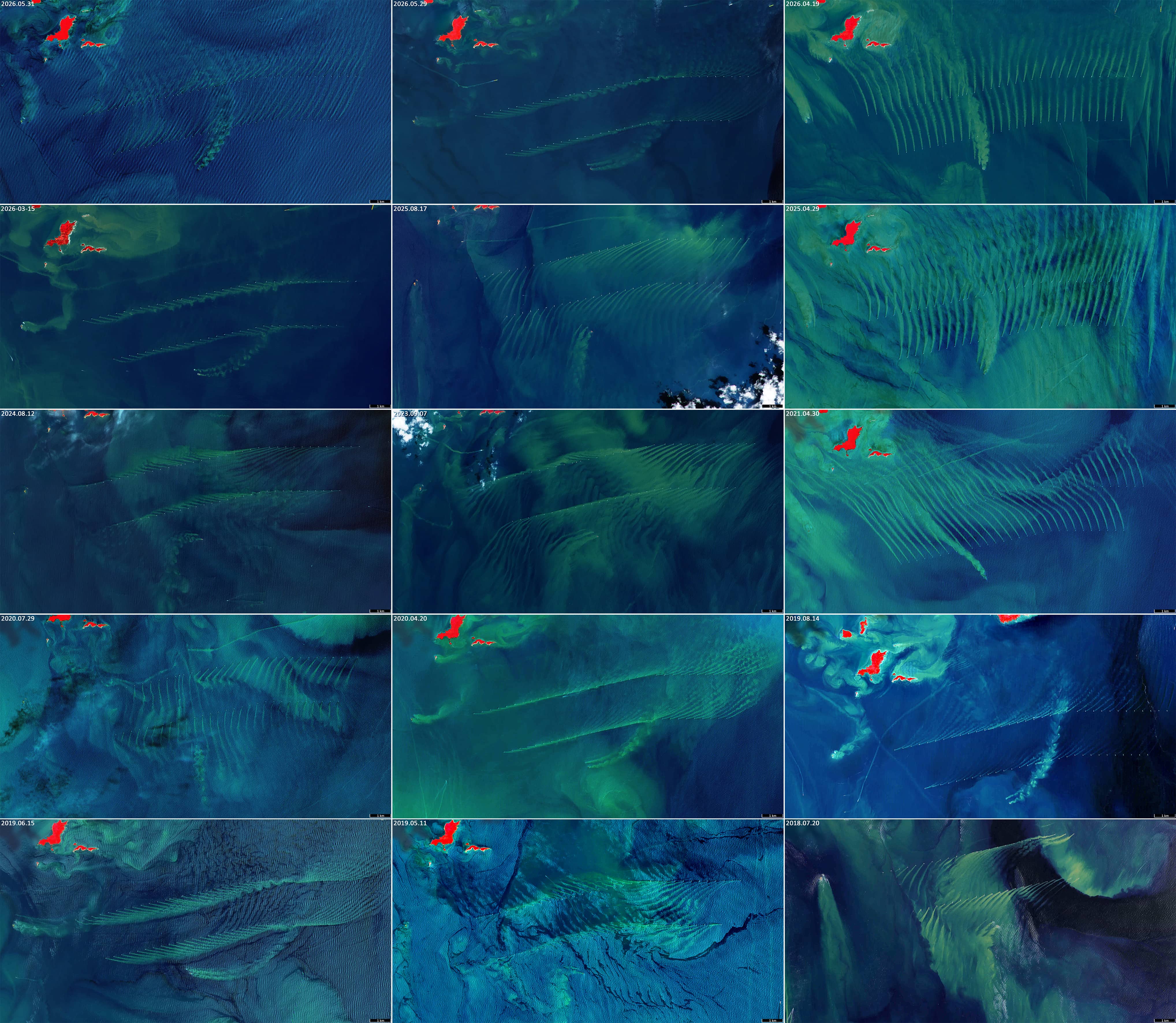
Several impressive images acquired in different years are presented in Figure 2, showing how sediment plumes from the Guodian Zhoushan Putuo wind turbine foundations spread in different directions depending on the prevailing sea currents. Additionally, a rather rare image shows cloud formation on the leeward side, behind the wind turbine blades (Figure 3), which is likely caused by air turbulence.