Ok
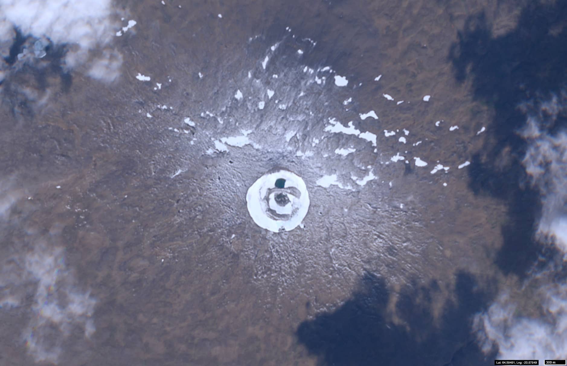
West Iceland
Date of acquisition: 2025.09.08 | 13:13:21 UTC
Sensors: Sentinel-2A L2A
Coordinates: ca. 64.598°N, 20.881°W
Ok (Icelandic: Okjökull) is a 1,198-metre-high shield volcano located on the Icelandic plateau to the west of the Langjökull glacier. It was formed during one of the Pleistocene’s interglacial periods. At its summit is a saucer-shaped crater with steep walls surrounding Lake Blavatn (Figure 1).
The volcano’s surface was covered by a glacier (Okjökull), which has completely disappeared in recent years. Consequently, by 2014, the remaining ice and snow on Okjökull was not thick enough to ‘flow’ under its own weight, meaning it no longer met the definition of a glacier.
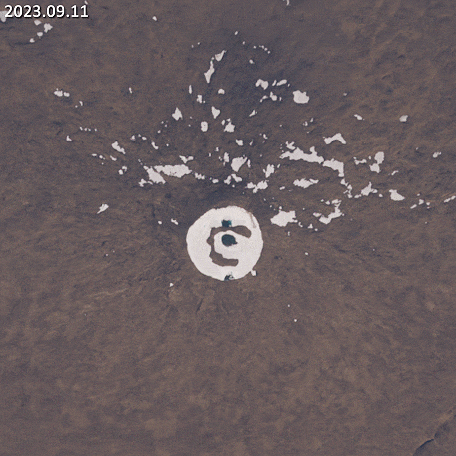
The volcano is covered with snow in winter, which partially (or even completely) melts in summer (see Figure 2 animation).
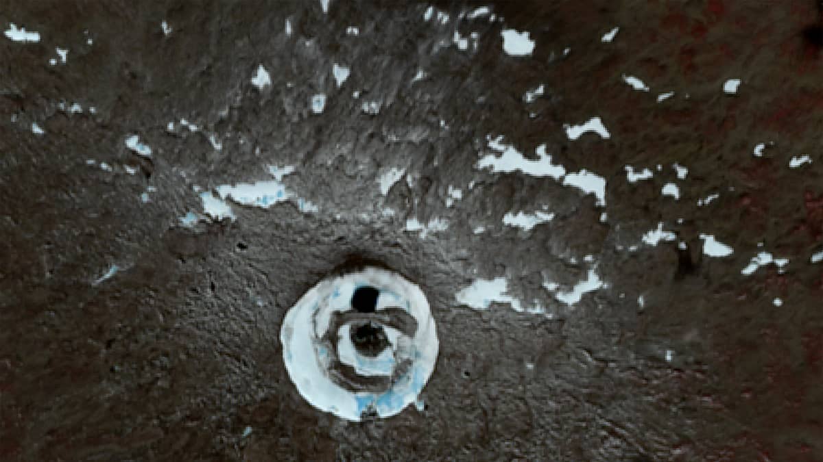
During the Sentinel-2 satellite observation period (from 2016 to the present), the greatest melt was observed in 2021 (Figure 3 animation).
We present the mentioned current view of the volcano, as well as an animated image showing the change in snow cover over the last year.
Further reading
Ok (volcano) (Wikipedia)
Okjökull (Wikipedia)
Okjökull Glacier (Perlan – Wonders of Iceland)