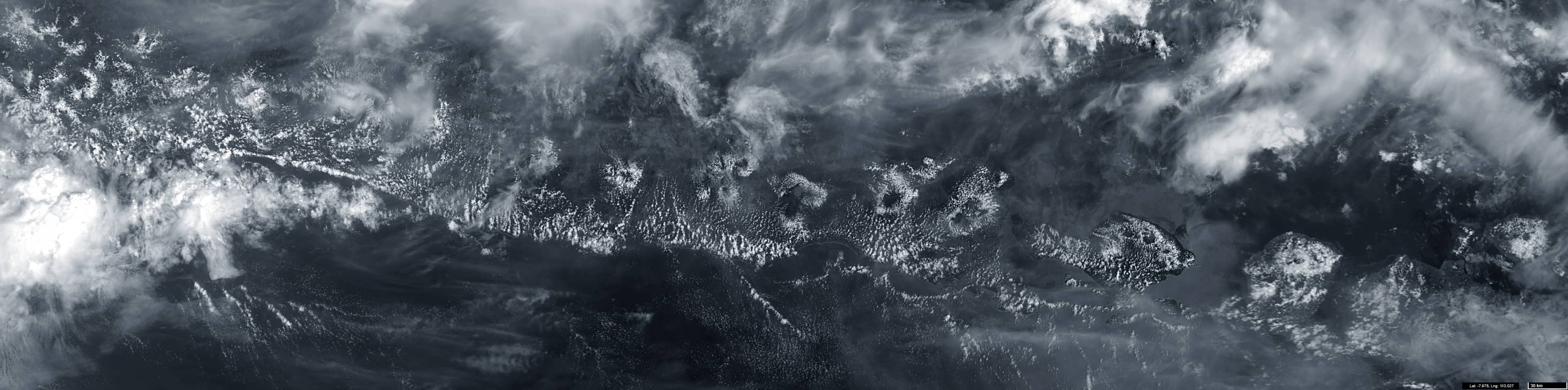
Clouds on volcanoes slopes
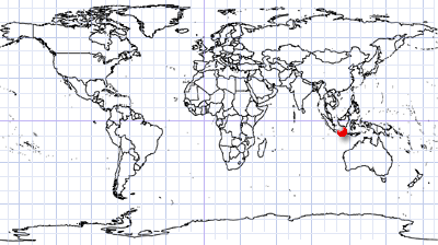
Lesser Sunda Islands | Southern Indonesia
Dates of acquisition:
• 2025.12.30 | 02:22:01 UTC
• 2025.12.30 | 02:31:21 UTC
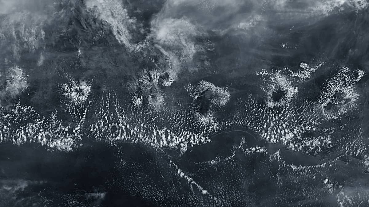
In the morning hours, the land surface warms quite rapidly, under strong solar radiation in equatorial latitudes,. Orographic air currents develop along volcanic slopes, transporting moisture upwards from the evapotranspiration of forested areas on the mountain flanks. These rising currents of relatively warm and humid air soon encounter a cooler layer of air that sank closer to the surface during the night. This leads to the formation of small cumulus clouds (see Figure 1).
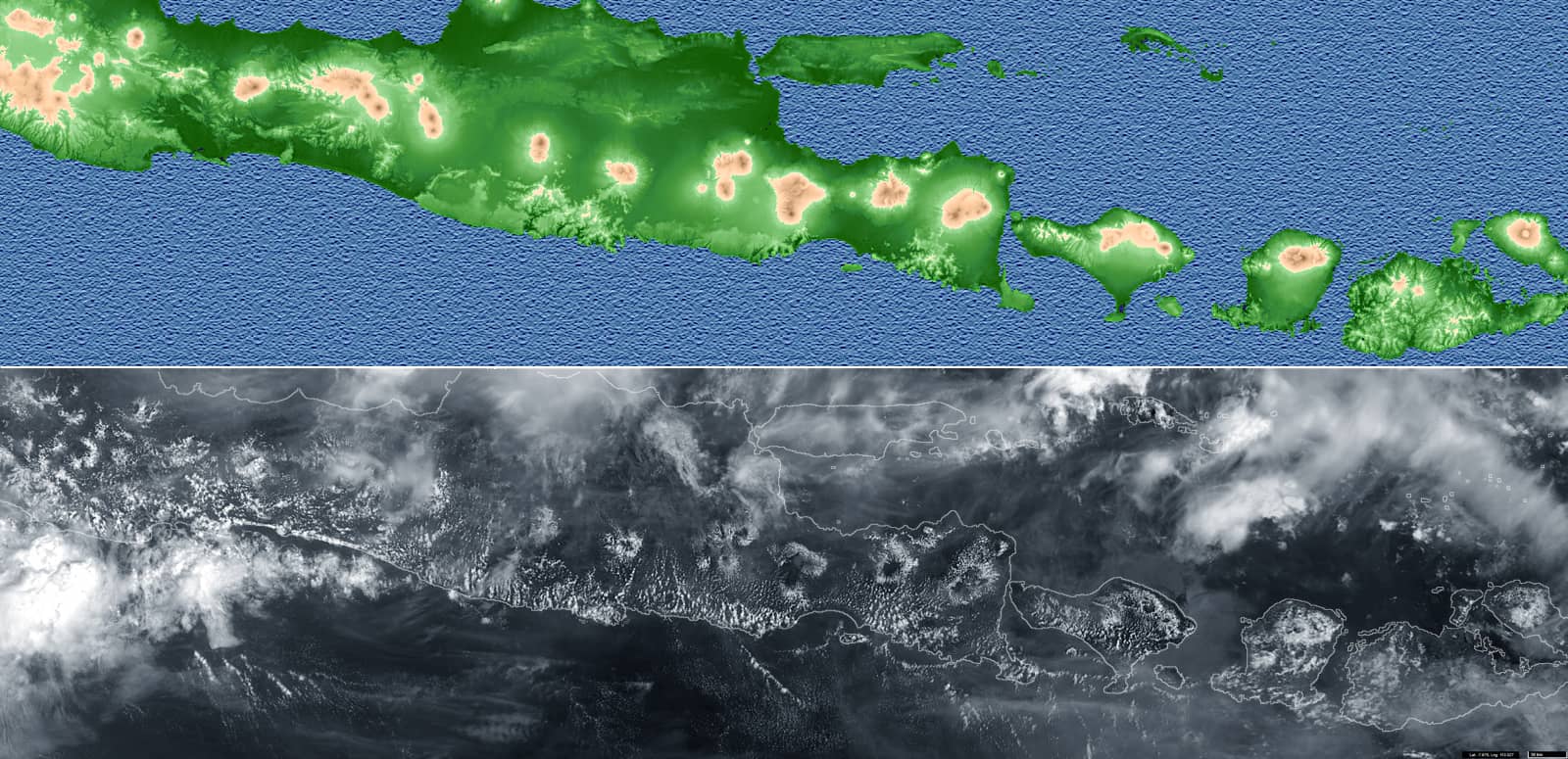
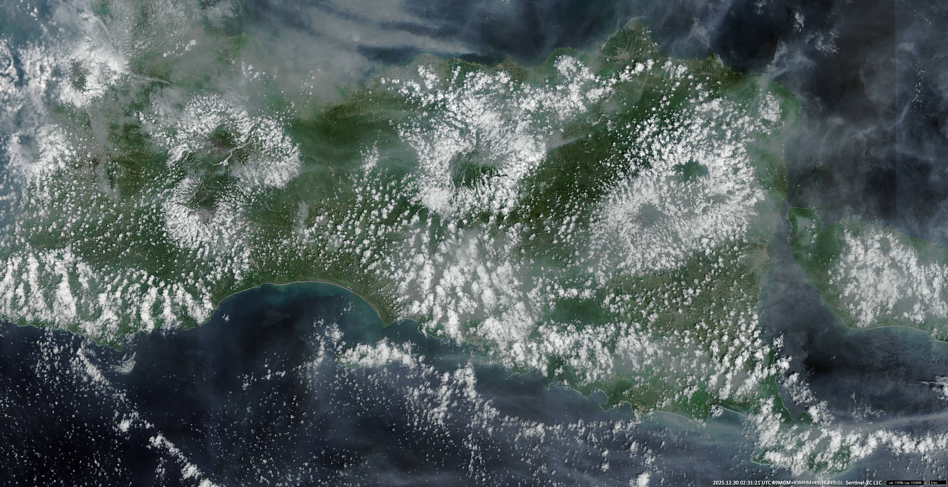
Images acquired by the Sentinel-3 satellite (Figures 1, 2) illustrate this process over Java and the Lesser Sunda Islands (Bali, Lombok, and Sumbawa) to the east. This phenomenon was well observable because the sky was otherwise not heavily clouded. The distance between the volcanoes on whose slopes this cloud formation is observed is almost 1,200 km. Figure 3 shows an enlarged section of this scene, captured by Sentinel-2.