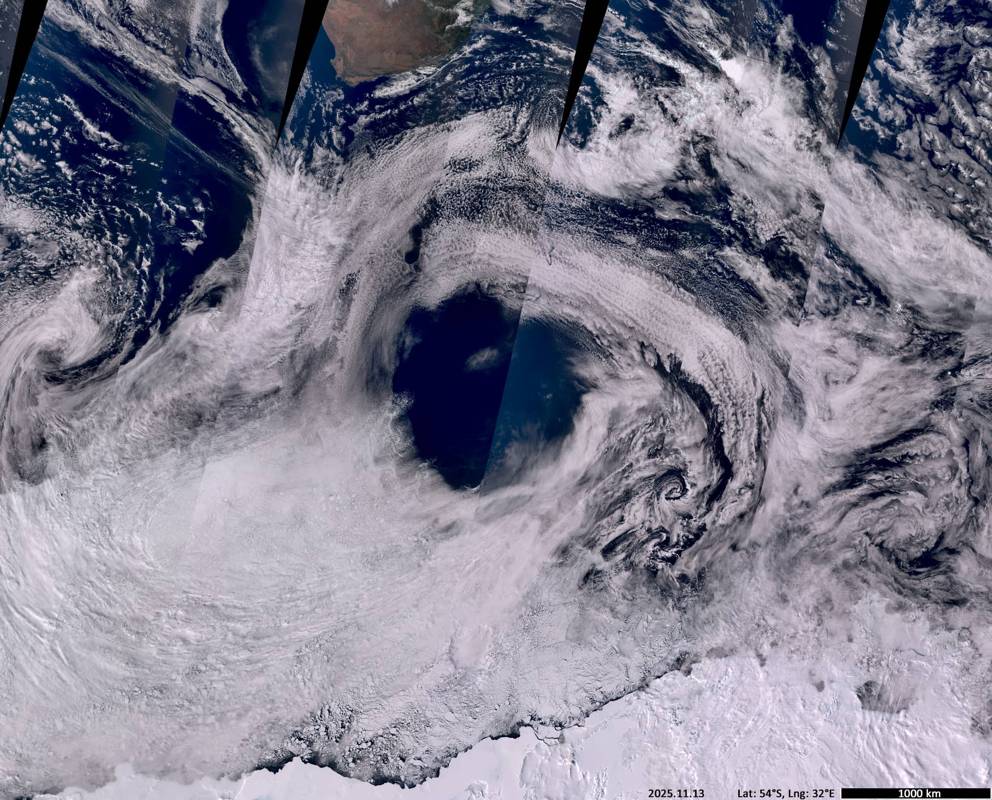
‘Black Hole’ in Clouds
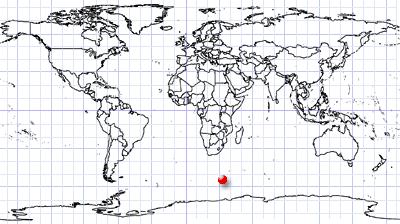
Southern Polar Region
Date of acquisition: 2025.11.13 | 06:17:42 UTC, 07:17:04 UTC
Sensors: Sentinel-3A, B OLCI
Coordinates: ca. 54°S, 32°E
The Sentinel-3 OLCI image shows a cloud-free high-pressure area (up to 1028 hPa, with no wind at its centre) surrounded by stratocumulus and altostratus cloud fields of varying density.
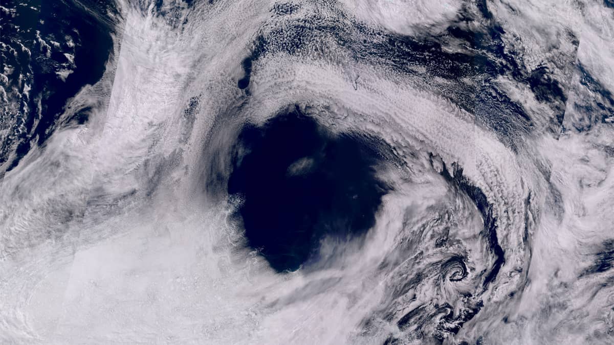
The formation of “holes” in cloud formations in connection with high-pressure areas is not an exceptional rare phenomenon in the southern polar latitudes. However, this case is notable due to the enormous size and the circular shape of the cloud-free area. The diameter of the circle is approximately 1150 km, the area is about 1,100,000 km2 (Figure 1). This high-pressure “eye” could have accommodated the entire Hurricane Melissa or Super Typhoon Fungwong (Figure 2, image overlays of the events in the middle and on the right).
Hurricane Melissa was an extremely powerful and catastrophic tropical cyclone. It was the strongest hurricane ever to make landfall in the Atlantic basin. Super Typhoon Fungwong was a powerful and destructive tropical cyclone that hit the Philippines, Taiwan, and Japan. These were the two largest cyclones in the Atlantic and Pacific Oceans in 2025. And both were smaller than the “eye” of the unnamed vortex in the southern circumpolar region.
Further reading
Hurricane Melissa (Wikipedia)
Typhoon Fung-wong (2025) (Wikipedia)
Black Hole Description (Cloud Structures, Brockmann Consult)
Pressure View (Zoom Earth)
Wind Speed View (Zoom Earth)