
Agriculture in Eastern Bolivia
Santa Cruz Department | Eastern Bolivia
Date of acquisition: June, 4th, 2026 | 13:56:59 UTC
Sensor: Sentinel-2B L2A
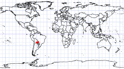
Coordinates: 18.6°S, 58.3°W | MGRS: 21QUA 62 57
What can be seen in this image?
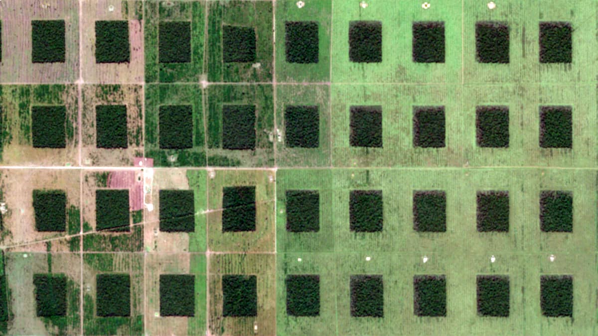
At first glance, the most striking feature appears to be part of an old, crumbling multi-storey building.
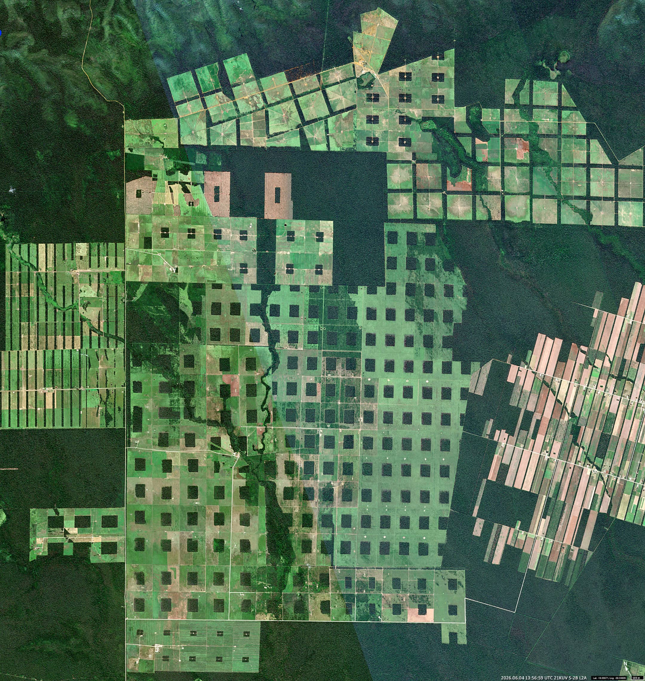
In fact, the image shows a group of agricultural plots (known as “granjas”) that form a single complex of around 170km2) in the eastern part of the Santa Cruz Department, near the Chiquitania region in Bolivia. This area, which contains extensive dry forest regions, has become one of the most important centres of agricultural expansion in South America.
Human activities have created their own type of landscape in an area that was once continuous woodland. The pattern is characteristic of a so-called “frontier landscape” – an area in which forests, roads, settlements, livestock farming, and agriculture interact actively.
The almost square clearings (each spanning 70–80 hectares) are arranged in a pre-planned grid and represent individual landholdings at different stages of development and use. The dark-green patches (18-20 hectares) in the centre of each square are remnants of natural forest that have not yet been converted, or are being retained to maintain moisture levels.
Agricultural activities in this area may include livestock grazing, small-scale mechanised farming, and mixed farming.
When viewed from space, The consequences of human land-use decisions are often far more clearly visible from space than from the Earth’s surface.
The Chiquitania region and the surrounding areas in eastern Bolivia are among the places where these patterns are particularly striking, as the contrast between untouched forest and carefully demarcated agricultural plots is clearly visible.
Further reading
Luna Camba (Mapcarta)
Agro giant Cargill tied to deforestation in Bolivia’s Chiquitano forest (Mongabay)
Vanishing Trees and Lakes: Deforestation in Bolivia’s Amazon (Climate Diplomacy)
Patterns of Forest Change in Bolivia (NASA Science)
Pinwheel Squares in Bolivia (NASA Science)
Detrás De Los Incendios: Madera Y Deforestación En La Chiquitanía (CEDB)