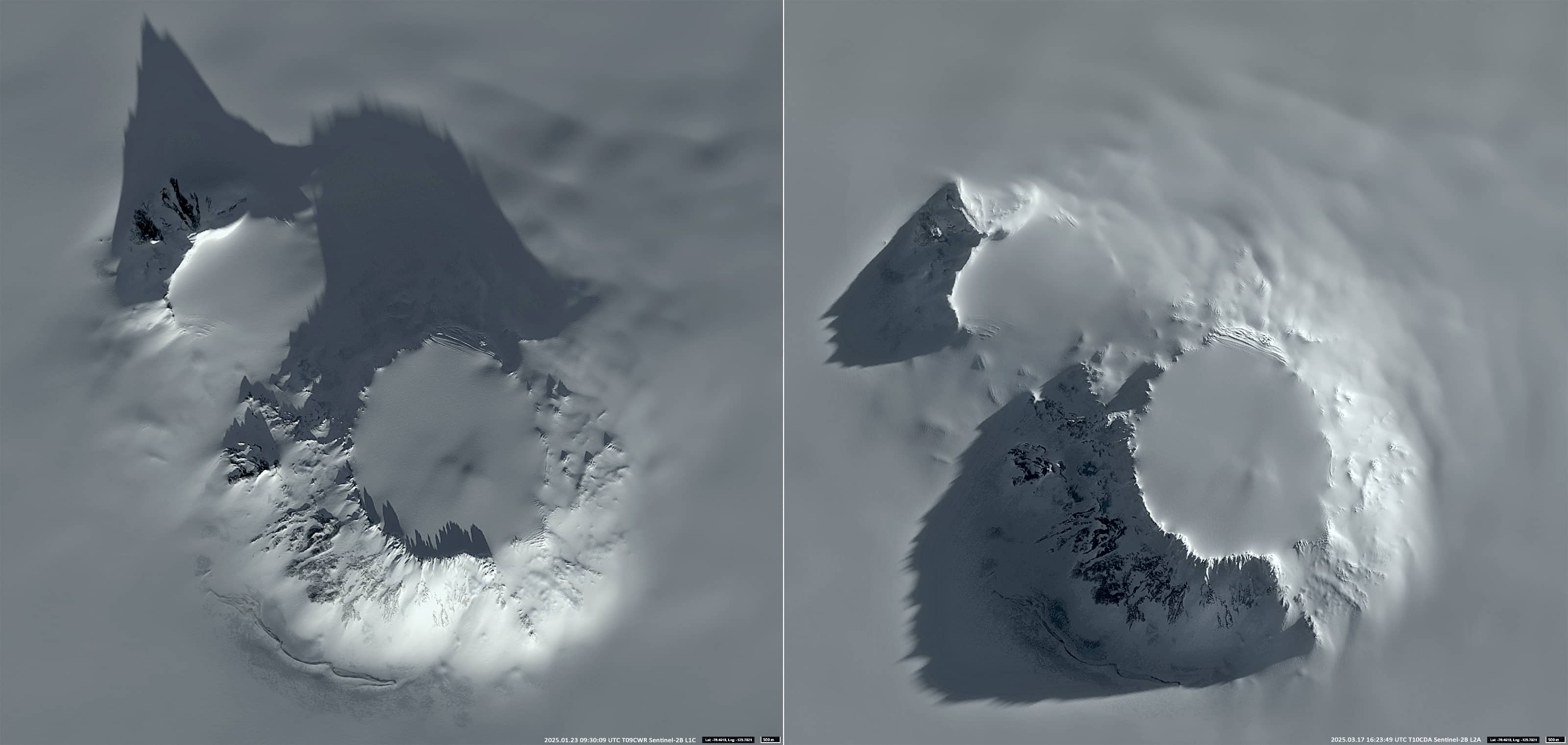
Mount Hampton
Marie Byrd Land | West Antarctica
Dates of acquisition:
• 2025.01.23 | 09:30:09 UTC
• 2025.03.17 | 16:23:49 UTC
Sensor: Sentinel-2B L2A
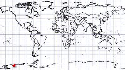
Coordinates: ca. 76.483°S, 125.8°W
Sentinel-2 operates in a sun-synchronous orbit, passing over every point on the Earth’s surface at approximately the same local solar time per orbit. The higher the latitude, the closer the different orbits overpass the earth’s surface and the more they overlap.
However, at polar latitudes, where the sun does not set below the horizon in the summer and at night (white nights), the satellite sees objects at two different angles of illumination of the sun.
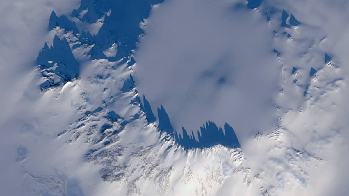
As a farewell to summer in Antarctica (Sentinel-2 does not provide images during the winter season), we show the ancient volcano Mount Hampton, part of the Executive Committee Range, on Marie Byrd Land in West Antarctica.
It is an extinct double shield volcano with a height of 3323 m. It rises about 1 km above the surface of the West Antarctic Ice Sheet. Its caldera is 6.5 km by 5.5 km wide.
Volcanism in the Executive Committee Range has been moving southwards for millions of years at an average rate of 0.7 centimetres per year. Mount Hampton is the northernmost volcano in the range and one of the oldest volcanoes in Antarctica. It was active during the Miocene epoch, 10–11 million years ago.
The image of the volcano on the left was taken during the (bright) night, when the sun shines from the south in Antarctica, while the image on the right was taken during the day.
The shadows around the rim of Mount Hampton’s caldera in the night image indicate sharp peaks. These are ice towers up to 20 metres high, formed by wind erosion of snow and ice.