Aj Mountains
Central Iran
Dates of acquisition:
• 2024.05.30 | 07:11:02 UTC
• 2025.01.05 | 07:03:01 UTC
• 2025.04.20 | 06:56:19 UTC
Sensor: Sentinel-2A L2A, Sentinel-2A L1C, Sentinel-2B L1C
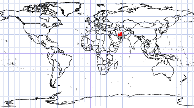
Coordinates: ca. 30.84°N, 54.85°E
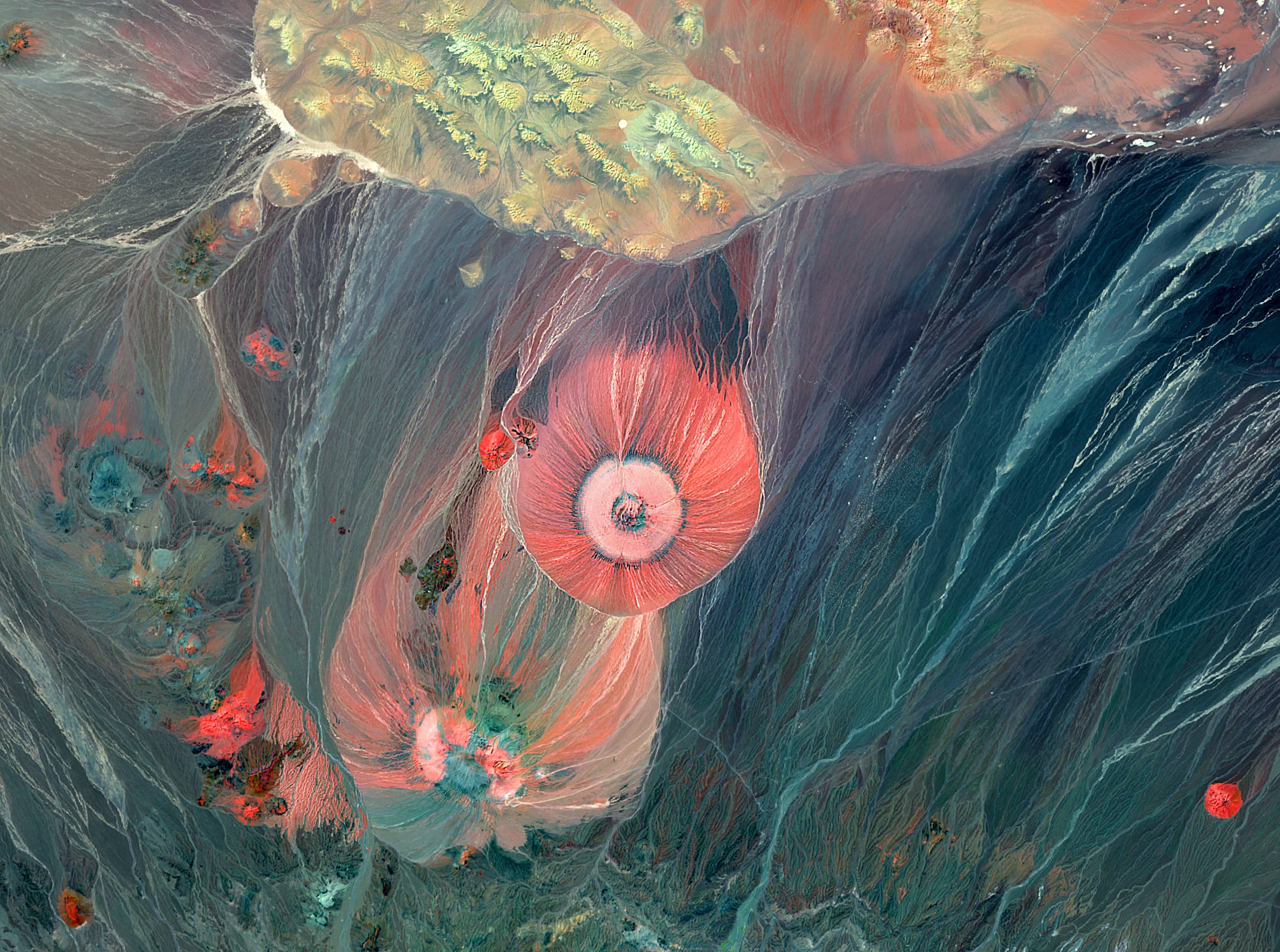
Look at these impressive circular landforms in central Iran (Figure 1) which are made visible by a Sentinel-2 RGB image including a SWIR band [RGB (B12, B8A, B04)]. These are the Aj Mountains.
There is virtually no information about these mountains in European languages on the Internet. To make matters worse, there are two different “Aj” Mountains in Iran – and they are completely separate: in the north-west and in central Iran. However, on the Persian internet, these mountains are quite well known, especially among mountaineers.
The following can be reported from Iranian sources.
The mountains we are interested in are located in the north-west of Kerman Province (کرمان). The 3116-metre-high peak, Aj-e Payin (کوه آج پایین): 54.78°E, 30.75°N, is located 8 kilometers from the town of Dehaj (Dehj, دهج) in the district of Shahr Babak (شهر بابک). Its counterpart, Aj-e Bala Peak (کوه اج بالای دهج): 54.83°E, 30.82°N, with an elevation of 2905 meters, is located 10 kilometers to the northeast. The small Maroust Desert separates the two mountains from the Zagros Mountains to the southwest.
The location of these peaks, their proximity to each other, their proximity to the mountainous region of Kohistan to the north, and the unique attractiveness and similarity of their conical shape have made these two volcanic peaks the most amazing and beautiful mountains in central Iran.
Both mountains are of volcanic origin and date from the Plio-Pleistocene, i.e., the late Tertiary and early Quaternary, and are among the most recent extinct volcanoes in the region. The rocks are of the andesite and andesite-dacite type, with coarse crystals of plagioclase, hornblende, and biotite. The lavas are deposited on Pliocene (late Tertiary) conglomerates and layers. The volcanoes have been inactive since almost the beginning of the Quaternary.
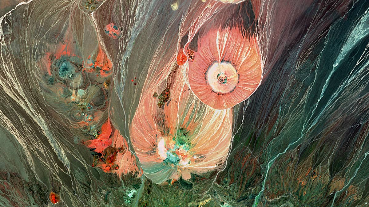
There are many smaller volcanic peaks in the area, which, together with the cones of the two large Aj volcanoes, makes this area very beautiful and unique.
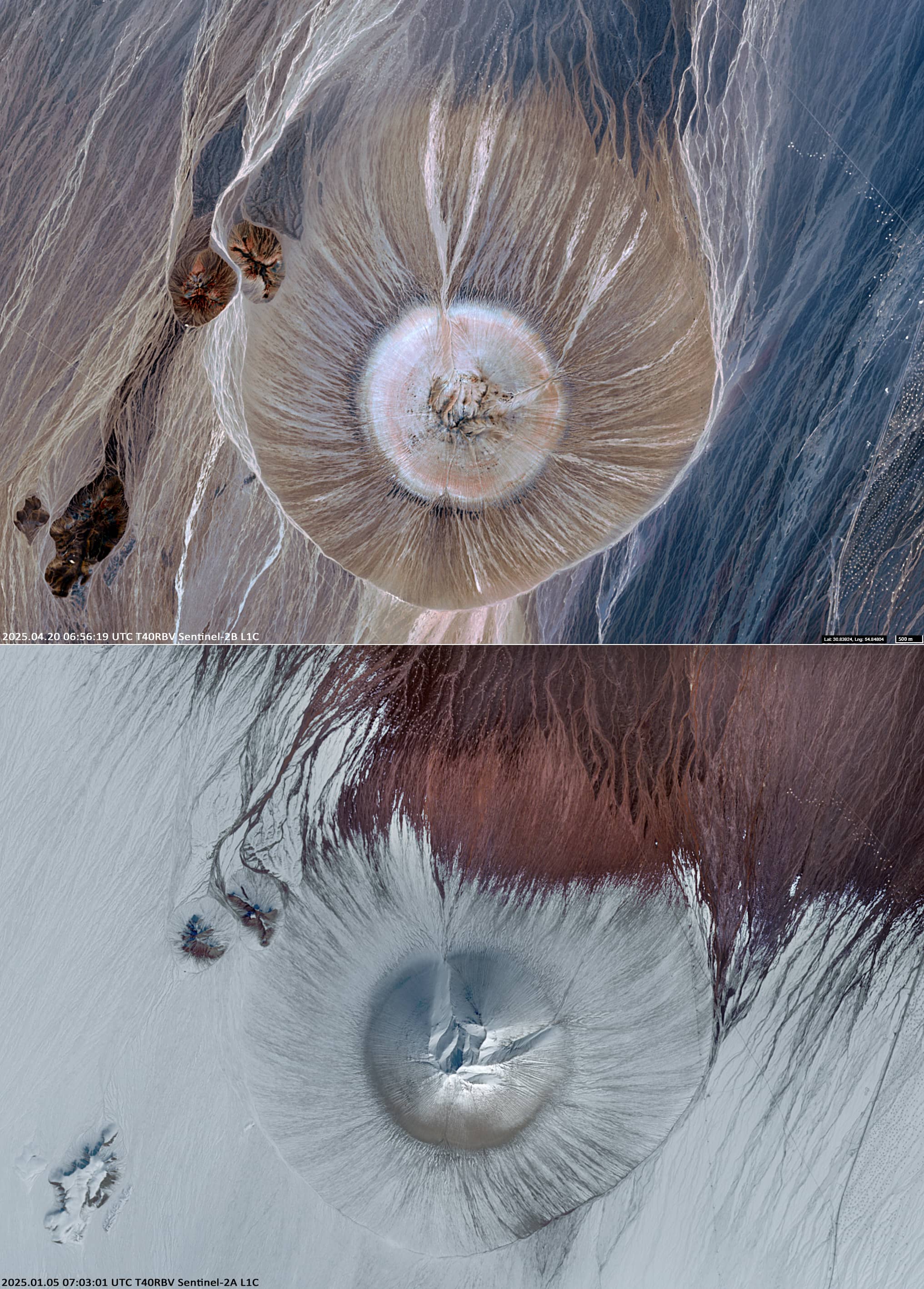
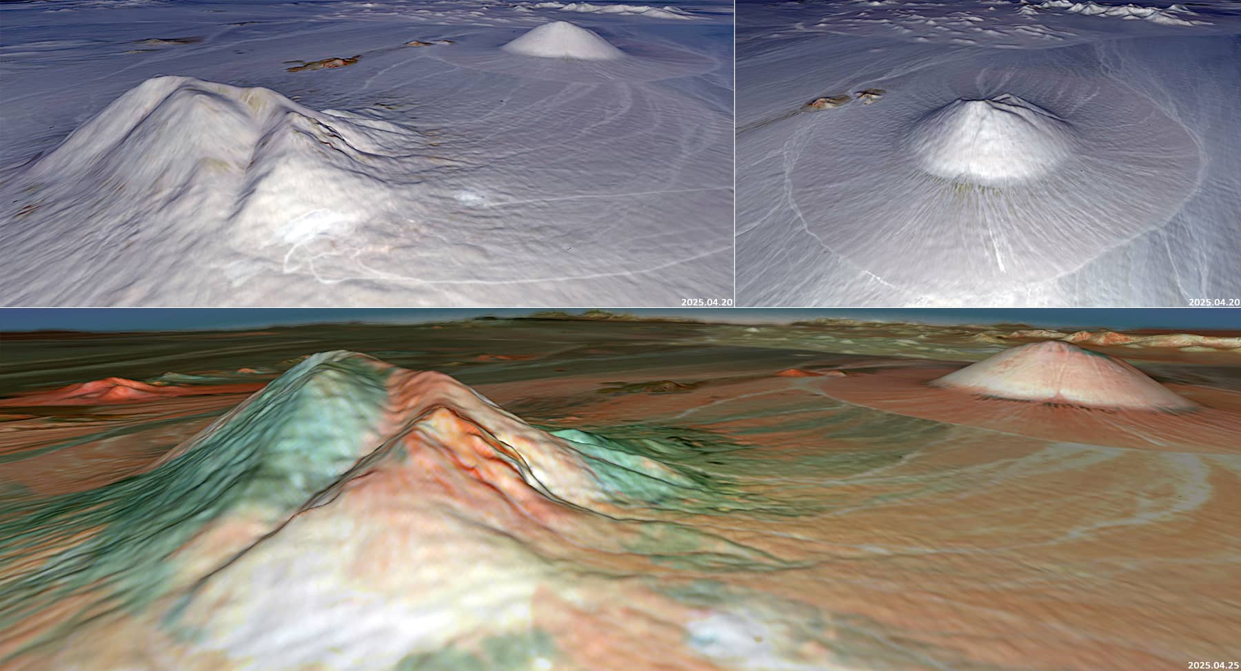
We also present visible-range satellite images of Aj Bala Mountain with and without snow cover Figure 2), and 3D-images obtained using the Copernicus Browser (Figure 3). The latter show the relief structure around the mountains.