Gamèti Winter Road
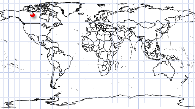
North Slave Region | Northwest Territories, Canada
Date of acquisition: 2025.05.20 | 19:29:21 UTC
Sensor: Sentinel-2C L2A
Coordinates: ca. 64.11°N, 117.35°W
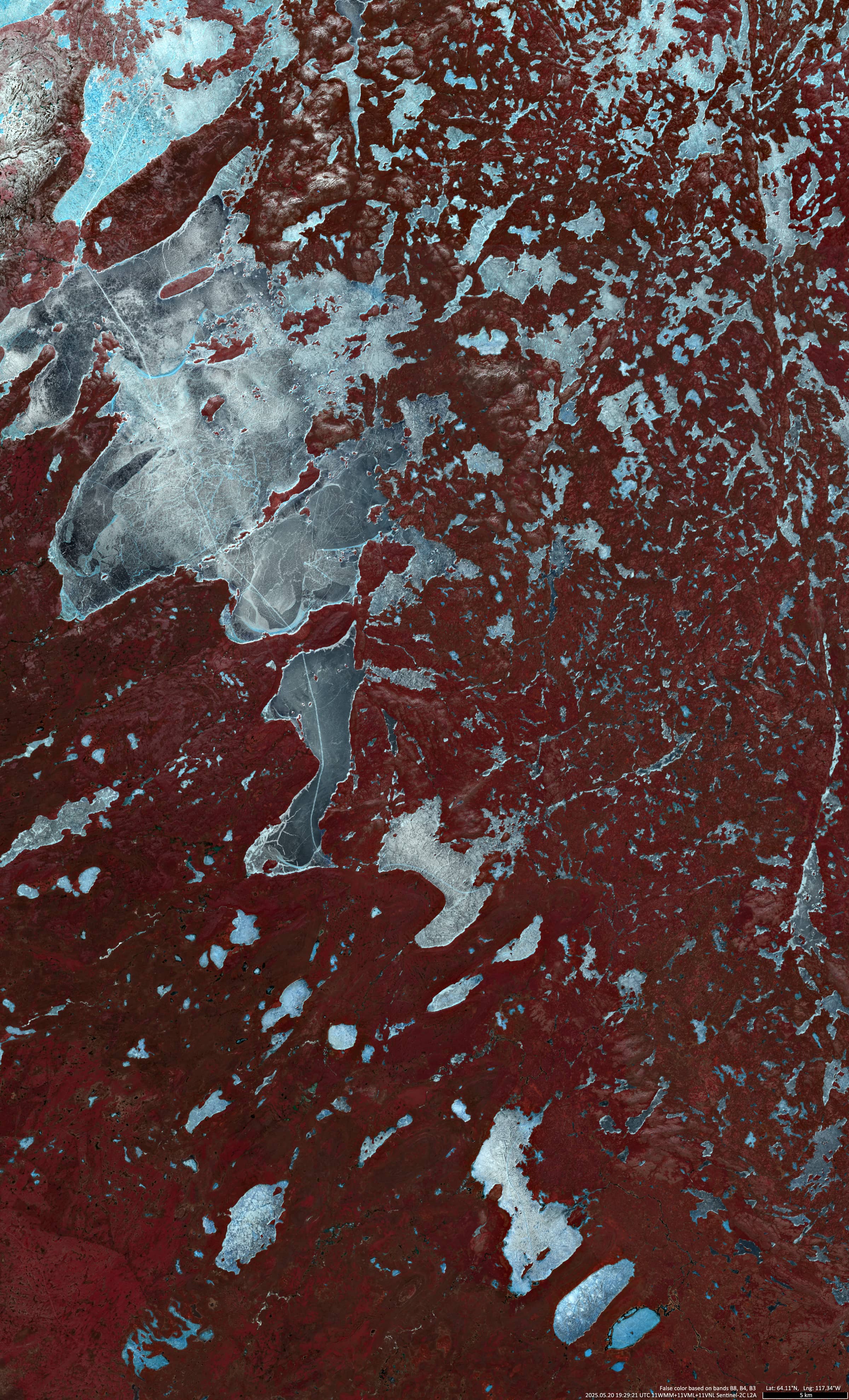
We present here an image of Gamèti Winter Road (North Slave Region of the Northwest Territories, Canada), taken by the Sentinel-2 satellite (Figure 1).
The road is part of the Tłı̨chǫ Winter Road and leads through forests and lakes, which can be crossed by ferry in summer and by ice in winter.
It begins at a fork, apparently called Fort Smith (63.2775°N, 116.6244°W) and ends in the settlement of Gamèti.
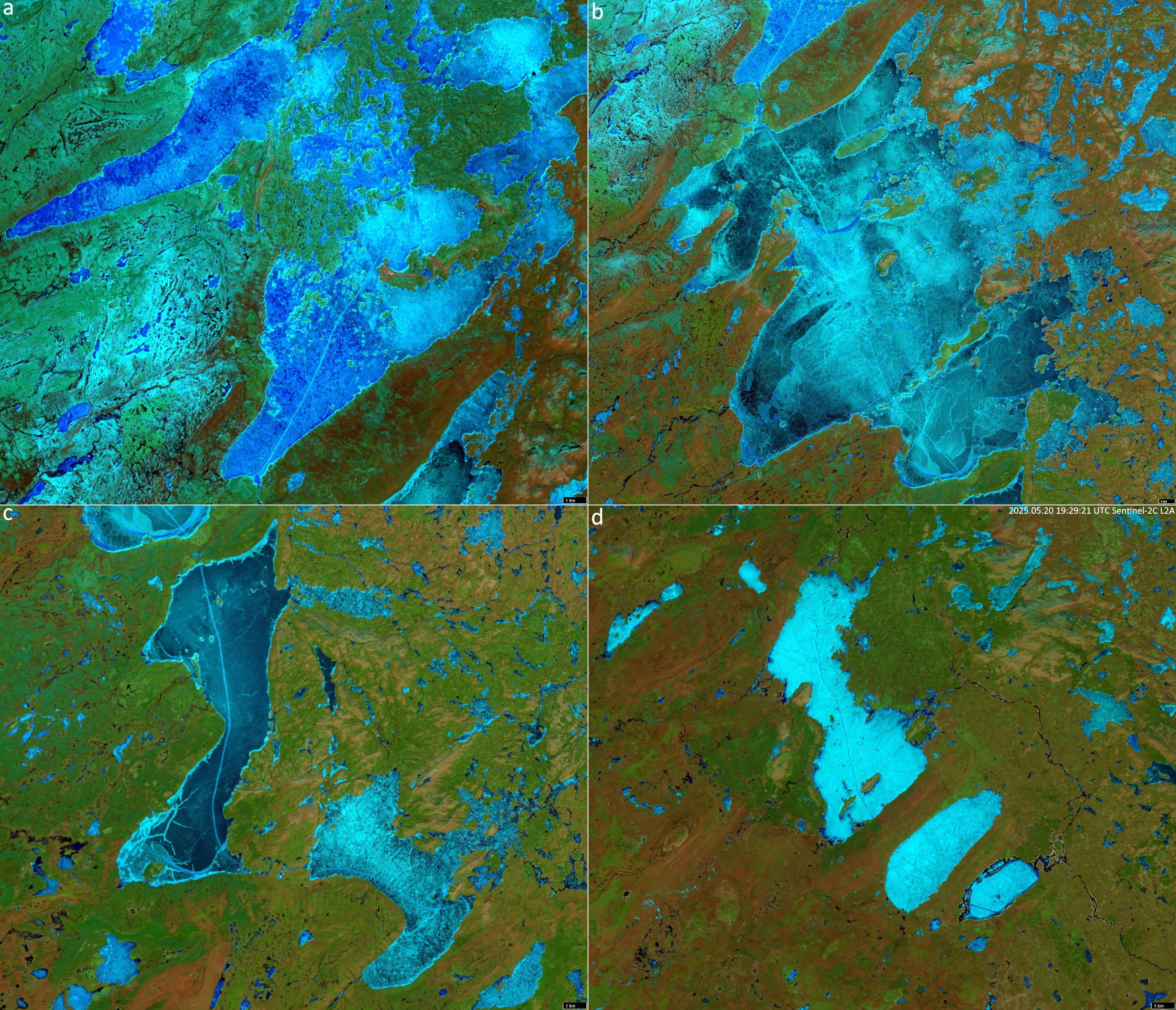
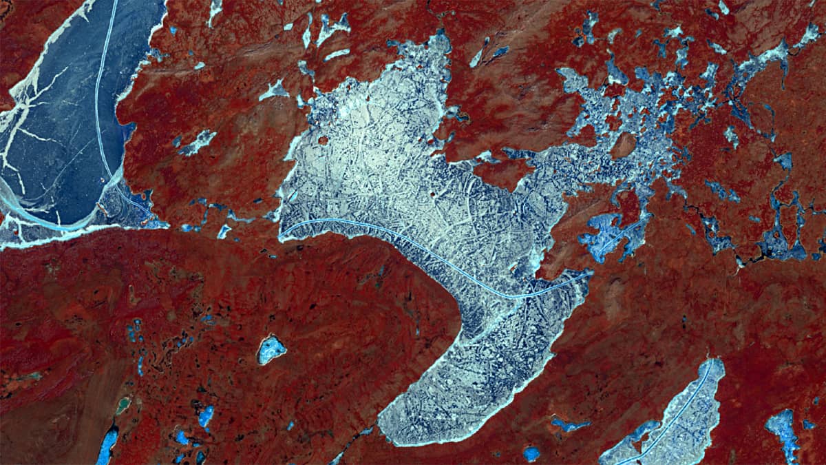
In winter and spring the road crosses the ice of many lakes (as shown in the Sentinel-2 image). These include Tumi Lake, Rabbit Lake, Hislop Lake (Figure 2 d), East Squirell Lake, Mazenod Lake, Sarah Lake (Figure 2 c), Faber Lake (Figure 2 b) and Rae Lake (Figure 2 a). The length of the roads on ice are given in the table below.
| Tumi | Rabbit | Hislop | East Squirell | Mazenod | Sarah | Faber | Rae | ∑ |
| 1.35 | 2.35 | 12.2 | 4.05 | 9.1 | 13.6 | 25.3 | 11.8 | 79.75 |
The total distance from Fort Smith to Gamèti is between 115 and 125 km.
The image uses the near infrared range, because the road on the ice is easier to recognise in this mode than in the visible range. Individual lakes are shown in the short-wave infrared (SWIR) range.
Although Gamèti has its own airfield, the road on the ice is used intensively. Usually, the road opens in late January or February, depending on weather conditions and ice thickness, for the passage of vehicles up to 10,000 kilograms of gross vehicle weight. With thickening of the ice by the end of spring (this year) it can support vehicles with a gross Vehicle Weight of up to 48,000 kilograms. The maximum speed limit on the entire Tłı̨chǫ Winter Road system is 50 km/h for all vehicles, and 30 km/h for commercialtransport.
Tłı̨chǫ (also known as the ’Dogrib’) are a First Nation group living in the North Slave Region of the Canadian Northwest Territories. They speak the Dogrib language. The English name ‘Dogrib’ is a translation of their self-designation as Tłı̨chǫ got’ı̨ı̨̀ (also: Thlingchadinne – meaning ‘Dogrib People’), which refers to their legendary descent from a supernatural ‘dog-man’. Their traditional territory, Tłı̨chǫ dèe (’Land of the Tłįchǫ’) covers an area ofalmost 295,000 km², which is slightly larger than the combined area of the United Kingdom and the Netherlands (around 285,000 km2). Gamètì (meaning “rabbit-net lake”), officially the Tłı̨chǫ Community Government of Gamètì, is a community in the North Slave Region. It is one of the four Tłı̨chǫ communities thatform the Tlicho Government.