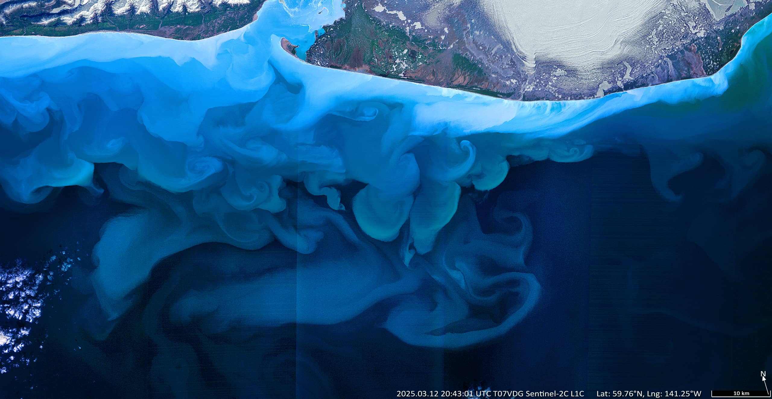
Water eddies south of Icy Bay
South of Icy Bay | Yakutat Borough, Alaska
Date of acquisition: March 12th, 2025 | 20:43:01 UTC
Sensor: Sentinel-2C L1C
Coordinates: ca. 59.9°N, 141.7°W
The Sentinel-2 true colour image [RGB (B04, B03, B02)] shows the visual effect of sediments and fine soils in the Pacific Ocean south of the Icy Bay in Yakutat Borough, Alaska. The bay is over 30 miles (48 km) long and was formed primarily by the rapid retreat of glaciers during the 20th and 21st centuries.
A narrow and intense coastal current, the Alaska Coastal Current, runs east along the coast.
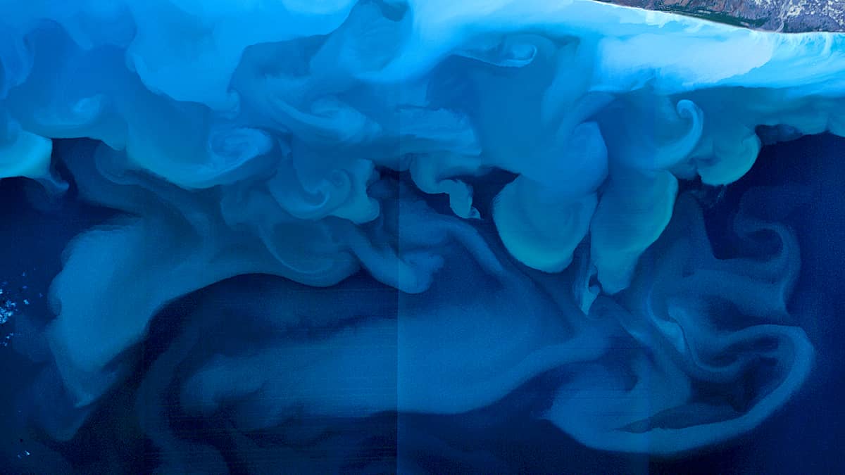
The presence of a significant amount of fine soil and other deposits is the result of melting snow and ice and the removal of substances contained therein, as well as substances washed out and carried to the sea by numerous rivers and streams. This suspended matter scatters visible light and “colours” the water in cyan, blue and sometimes greenish hues. Thus the suspended sediments allow the satellite sensors to observe the movement of water masses and mixture of different water masses.
In this spectacular case, the ocean current creates numerous eddies and loops with different concentrations of the suspended matter in the water (the brighter the blue colour, the more concentrated).