
Brockmann Consult delivers environmental informatics and geoinformation services towards better managing our environment and understanding climate change. Our highly skilled team comprises cross domain expertise in environmental science and software—design, development and operations—for customers, partners and society.
Our Company
Brockmann Consult is a highly specialised private company offering services for the development, implementation and management of environmental data and services, with a strong focus on Earth Observation data. Founded in 1999, our proven track record and reputation for quality work and expertise has remained constant while we’ve evolved to remain at the cutting-edge of science and technology, attracting highly skilled and motivated talent to join our customer-focused and innovation-driven team.
Our Services
We specialise in tailor-made software solutions, operational and user-driven services, information products and expert advice in Earth Observation At Brockmann Consult, we have been successfully supporting top-tier institutions like ESA, EUMETSAT, and the European Commission as well as a diverse portfolio of important customers and partners to reach ambitious objectives for over 25 years. If it is about Earth Observation data – we will find a solution!
“The rapidly increasing amount of environmental data has dramatically changed the view of our planet, and continues to do so with the onset of a new generation of satellites, drones, and citizen science. We enable our customers to benefit from this new perspective”
Carsten Brockmann – Managing Director


Brockmann Consult’s applications are your passport to Earth Observation Data.
We have a diverse catalogue of thematic marine and land data products with local, regional, and global scopes enabling assessments and monitoring of environmental issues including water quality and climate change.
The Brockmann Experience
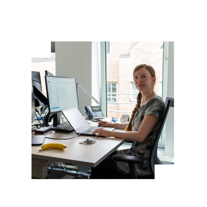
The strong technical and domain experience of our passionate team has contributed significantly to our achievements and project success for over 25 years, with long-standing senior team members working alongside fresh new talent to constantly evolve, master and push the boundaries of technology and methodologies in science focused on Earth Observation.
Explore the Earth Gallery
The beauty and breathtaking phenomena of our planet can be enjoyed from a new perspective when looking at the Earth from space. With changing weather patterns, seasons and rotation, the story is always evolving even when looking at the same location in different images. We set up this gallery to share the magic and poetry of our incredible world as captured in the satellite imagery we are working with every day. From the comfort of your seat, we invite you to journey around the world through the fascinating visuals of our friendly Earth Gallery.