|
| Home |  |
| Introduction | |
| Contents | |
| Links | |
| Impressum | |
| Download |
| Home > Discussion | |
|
You can put your point of view about the phenomenon by e-mail. |
![]()
|
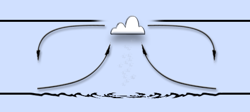
Circles on the sea surface. |
|
When working with the ASAR data for SAE 2008-2009 website, I stumbled upon two interesting images, which show strange formations on the surface of Antarctic waters. If the temperature gradient between the water and the cold Antarctic air over the water is larger as in the surrounding area, it can be assumed, that the sea surface will more steamed, the vertical air currents emerge. They take the vapour to the top, where a water vapour transforms into ice crystals and forms a cloud. Since the inversion layer close to Antarctica coast is quite a deep, the relative warm sea air pushed by the streams from below goes further to the periphery, where it cools and descends to the water surface. Where it will be warmed up and goes toward the middle again, where there is relatively low pressure. The process is relatively stable as long as the spatial-limited energy comes from the water and there are weak horizontal winds.
|
|
20.02.2009 |
|
![]()
|
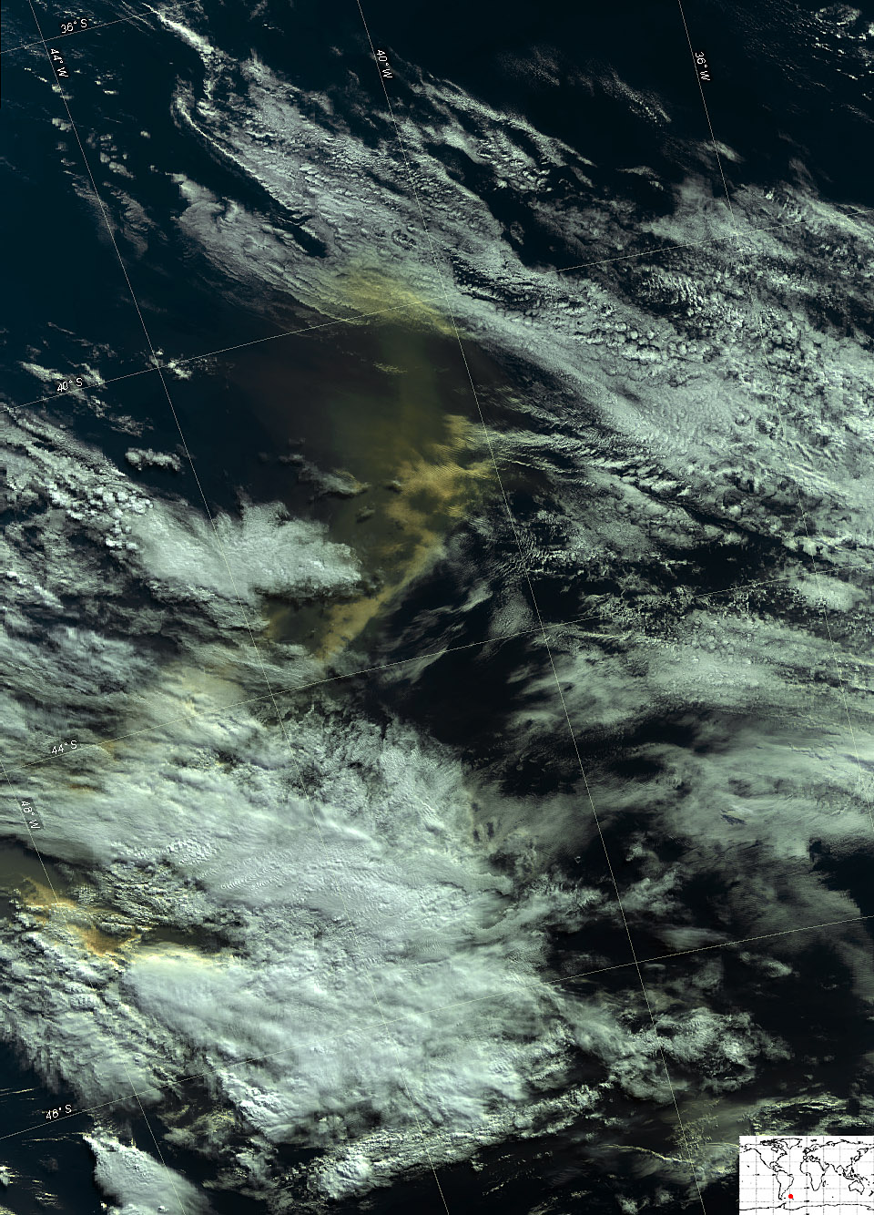
Yellow Clouds above the Southern Atlantic. |
|
The low yellow clouds were observed over the South Atlantic Ocean, close to the coast of Argentine Patagonia. It lies between two layers of white clouds and moves in N-NE direction. The origin of the yellow color could be
31.03.2009 |
 |
![]()
|
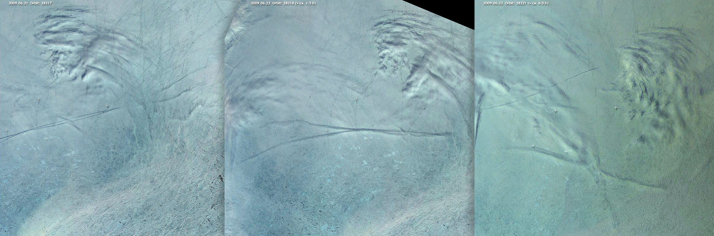
Condensation trails above the High Latitudes. |
|
Condensation trails, which the aircraft leaves, in the middle latitudes remain to be observed only a few minutes. In the high latitudes, they remain to seen up to 6 hours or more.
21.06.2009 |
 |
![]()
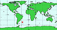
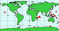 Meanwhile, the circles on the sea were observed also in warm zones, not far from the island groups or shoals.
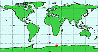


 Should it have the terrestrial sources, must it be a big disaster, which was not observed.